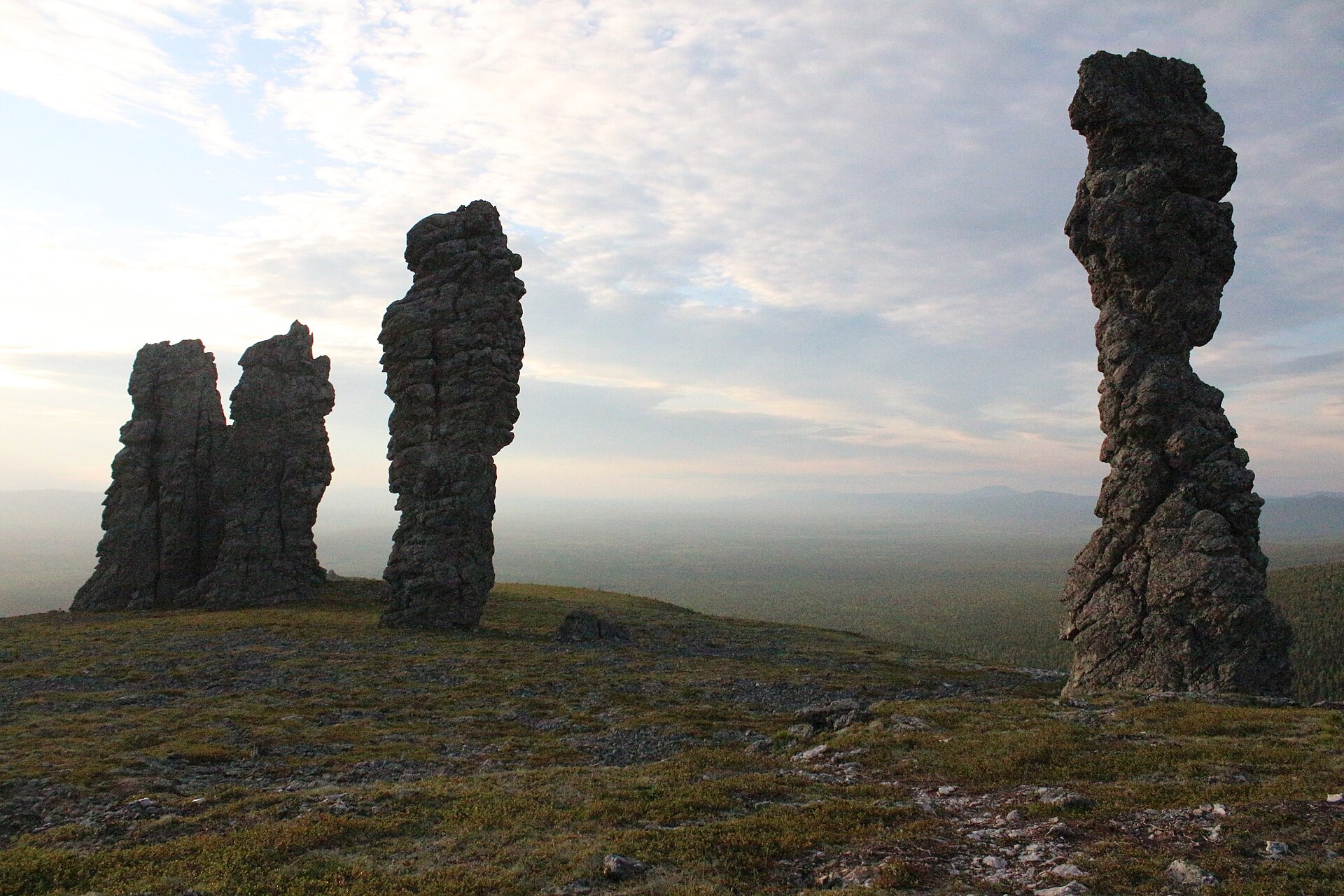
Summer evening light can last for hours, allowing a late ascent through birch forest to open tundra without the usual pressure of darkness.
Start early, put the exposed high point first and keep a lower route ready if cloud, wind or trail conditions change.
Look a little closer
Worth discovering
The details that make Khibiny Mountains different.
Destination view
01
Kukisvumchorr passes
Accessible valleys lead quickly into high tundra.
Destination view
02
Midnight-sun plateaus
Broad tops provide long views across lakes and mountains.
Destination view
03
Mineral landscapes
Unusual geology shapes both the terrain and local history.
Photo journal
A closer look at Khibiny Mountains
1 photograph
01Кировск, вид с плато Кукисвумчорр
The full story
Reading the layers of Khibiny Mountains
Rounded Arctic mountains, tundra plateaus and mineral-rich valleys rise above the towns of the central Kola Peninsula. The view is only the surface of a longer story of formation, use and change.
4 min readKola Peninsula, Russia
Khibiny Mountains is centred on Kola Peninsula, where rounded Arctic mountains, tundra plateaus and mineral-rich valleys rise above the towns of the central Kola Peninsula. The strongest reason to make the journey is to hike a plateau pass under the midnight sun.
The familiar invitation at Khibiny Mountains is “Hike a plateau pass under the midnight sun”, yet that image makes more sense when it is connected to the landform, the local economy and the changes that determined access. Summer evening light can last for hours, allowing a late ascent through birch forest to open tundra without the usual pressure of darkness.
Before roads, settlements or protected-area boundaries, the terrain of Khibiny Mountains set the basic terms. Ridges, valleys and changing elevation create several distinct micro-landscapes. The strongest views usually require an early start and enough time to continue beyond the first accessible viewpoint.
Relief controls far more than the view. At Khibiny Mountains, “Kukisvumchorr passes” reveals how elevation divides vegetation, weather, water and the routes available to people. Accessible valleys lead quickly into high tundra.
02
Settlement and memory
Lives shaped by the terrain
The Khibiny massif is part of Sami Sápmi, where reindeer movement, fishing and seasonal routes long connected tundra and forest. Its modern transformation began after geologists identified vast apatite-nepheline deposits in the 1920s.
The Soviet state built Kirovsk and large mines at the mountain edge, using forced and recruited labour to create one of the Arctic's major industrial centres. Skiing, botanical research and mountaineering developed beside quarries and tailings.
03
Change
What altered the old balance
Khibiny National Park was created in 2018 after decades of debate, protecting substantial mountain terrain while leaving active mines immediately adjacent. The massif is therefore a rare place where Sami history, Soviet industrialisation and modern outdoor recreation remain visible together.
04
On the ground
Landmarks that carry the deeper story
At Khibiny Mountains, the feature “Kukisvumchorr passes” is one of the most useful pieces of visible evidence. Accessible valleys lead quickly into high tundra. At Khibiny Mountains, it gives a concrete reference point for reading change rather than merely collecting viewpoints.
Start with the feature “Midnight-sun plateaus”, because it condenses a much larger part of the story of Khibiny Mountains. Broad tops provide long views across lakes and mountains. At Khibiny Mountains, it gives a concrete reference point for reading change rather than merely collecting viewpoints.
Start with the feature “Mineral landscapes”, because it condenses a much larger part of the story of Khibiny Mountains. Unusual geology shapes both the terrain and local history. Within Khibiny Mountains, it is both an attraction and a record of the processes described above.
05
Present day
Why the landscape still feels dynamic
Khibiny Mountains changes through the year because weather and biological cycles rearrange what can be seen and used. For Khibiny Mountains, the most reliable visiting window is Jun-Sep.
For Khibiny Mountains, the stated visiting window is Jun-Sep, but its practical meaning depends on local weather, water and transport rather than the calendar alone.
Placed within its wider geography, Khibiny Mountains is not an isolated exception. Beyond the best-known image of Khibiny Mountains feature, Khibiny Mountains matters because midnight-sun plateaus and mineral landscapes place the destination inside a broader regional story.
Chronology
Key dates
Sami seasonal landscape
Reindeer herding and travel routes crossed the tundra and mountain valleys.
Apatite mining and Kirovsk
Soviet industrial planning rapidly built mines, railways and a new Arctic city.
National park established
Federal protection covered key ecosystems amid continuing mineral extraction nearby.
Travel notes
Plan your visit
Time needed
2-4 days
Getting around
Road access to trailheads, then hiking
Effort
Moderate to demanding
Plan first
Trail conditions, weather and transport to the start
Time of day
Start early for clearer conditions
Best window
Jun-Sep
Traveller stories
Stories from people who have been here.
First-hand moments, practical notes and overlooked details from Khibiny Mountains.