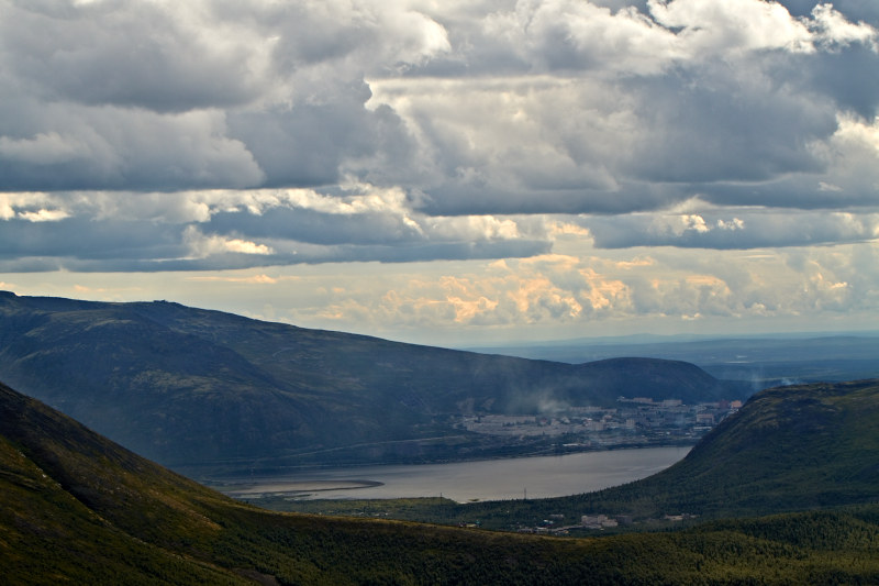
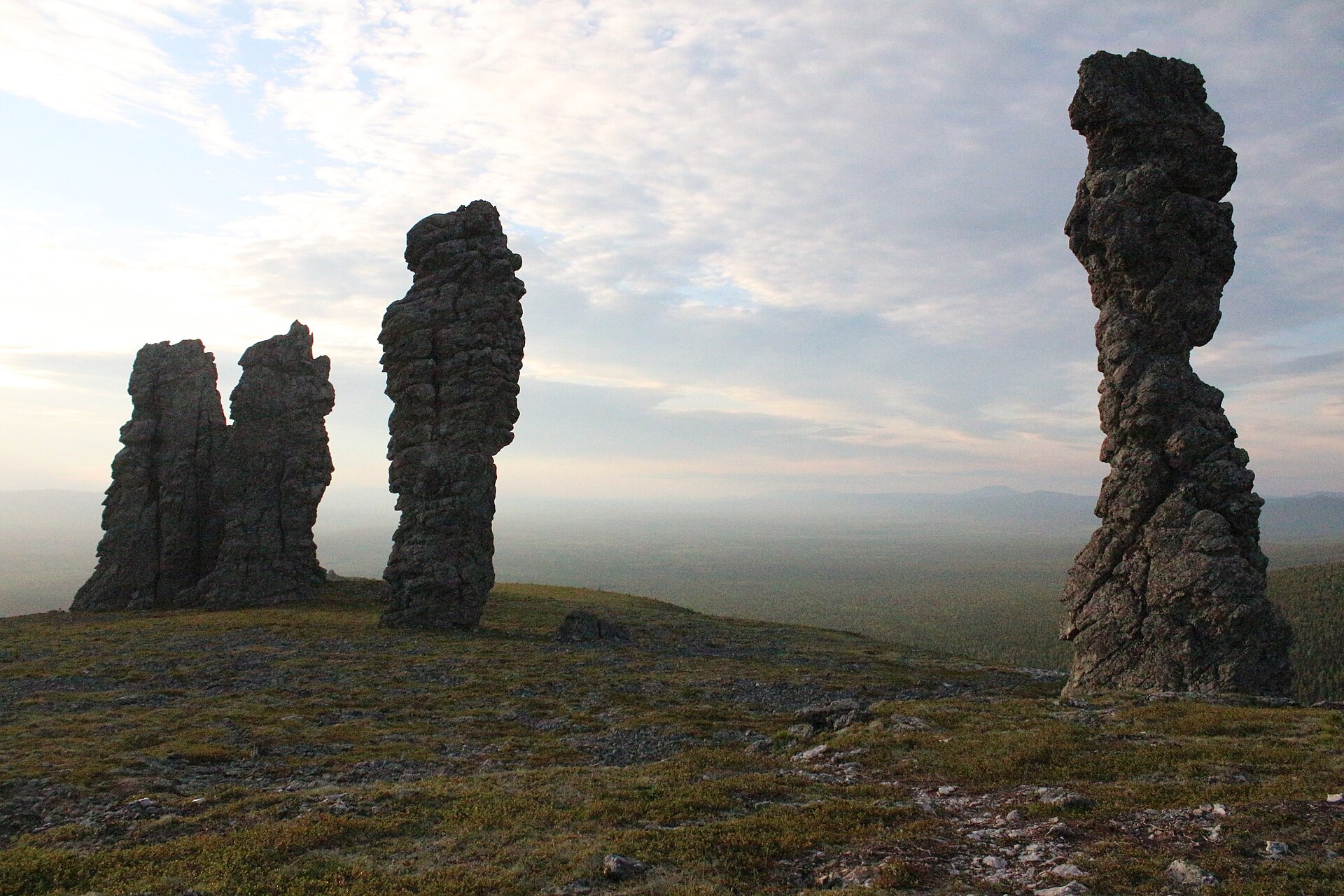
Cross the Great Stone River before climbing a quartzite ridge
The boulder stream looks like a frozen flood between forested slopes and is the park's most unusual transition from lowland trail to high ridge.
Start early, put the exposed high point first and keep a lower route ready if cloud, wind or trail conditions change.
Look a little closer
Worth discovering
The details that make Taganay National Park different.
Destination view
01
Great Stone River
A kilometre-scale flow of quartzite blocks cuts through forest.
Destination view
02
Double-Headed Sopka
A popular ridge gives wide views across the Southern Urals.
Destination view
03
Otkliknoy Greben
A serrated rock wall produces striking echoes and silhouettes.
Photo journal
A closer look at Taganay National Park
8 photographs
01Taganai - otkliknoi 102Taganay National Park — view 203Откликной Гребень в тумане04Вершина Откликного Гребня05На склоне Откликного Гребня. Туман06На Откликном Гребне. Туман07Таганай. Лес возле Откликного гребня08Вид с Откликного
Landscape and history
Taganay National Park beyond the first view
Quartzite ridges, spruce forest and long stone rivers rise immediately behind the town of Zlatoust. This account follows the forces, communities and decisions that made the present landscape.
4 min readSouthern Urals, Russia
Taganay National Park is centred on Southern Urals, where quartzite ridges, spruce forest and long stone rivers rise immediately behind the town of Zlatoust. The strongest reason to make the journey is to cross the great stone river before climbing a quartzite ridge.
The familiar invitation at Taganay National Park is “Cross the Great Stone River before climbing a quartzite ridge”, yet that image makes more sense when it is connected to the landform, the local economy and the changes that determined access. The boulder stream looks like a frozen flood between forested slopes and is the park's most unusual transition from lowland trail to high ridge.
Before roads, settlements or protected-area boundaries, the terrain of Taganay National Park set the basic terms. Ridges, valleys and changing elevation create several distinct micro-landscapes. The strongest views usually require an early start and enough time to continue beyond the first accessible viewpoint.
Relief controls far more than the view. At Taganay National Park, “Great Stone River” reveals how elevation divides vegetation, weather, water and the routes available to people. A kilometre-scale flow of quartzite blocks cuts through forest.
02
Human history
Routes, livelihoods and belonging
Taganay stands above Zlatoust, a city built on Ural metallurgy, weapons production and stone cutting. Forest tracks and mountain passes served prospectors, charcoal burners, Old Believer communities and industrial settlements rather than an isolated wilderness economy.
The ridges later became important to Ural hiking and scientific study. Taganay National Park, founded in 1991, was among the first national parks created in post-Soviet Russia and protected a mountain landscape immediately beside a major industrial city.
03
Turning point
How access and attention changed the place
National-park status converted former extraction and access routes into managed trails, while the proximity of Zlatoust made Taganay a high-use protected area where industrial heritage remains visible from the peaks.
04
Visible evidence
The small features that reveal the larger pattern
At Taganay National Park, the feature “Great Stone River” is one of the most useful pieces of visible evidence. A kilometre-scale flow of quartzite blocks cuts through forest. For Taganay National Park, that relationship is more informative than treating the feature only as a photograph or checklist item.
At Taganay National Park, the feature “Double-Headed Sopka” is one of the most useful pieces of visible evidence. A popular ridge gives wide views across the Southern Urals. Within Taganay National Park, the feature explains why this destination differs from nearby landscapes.
At Taganay National Park, the significance of the feature “Otkliknoy Greben” goes beyond its visual impact. A serrated rock wall produces striking echoes and silhouettes. Within Taganay National Park, it is both an attraction and a record of the processes described above.
05
Present day
Season, scale and the present day
At Taganay National Park, season is part of the landscape history, not merely a planning detail. For Taganay National Park, the most reliable visiting window is May-Oct.
For Taganay National Park, the stated visiting window is May-Oct, but its practical meaning depends on local weather, water and transport rather than the calendar alone.
Placed within its wider geography, Taganay National Park is not an isolated exception. Beyond the best-known image of Taganay National Park feature, Taganay National Park matters because double-headed sopka and otkliknoy greben place the destination inside a broader regional story.
Chronology
Key dates
Zlatoust industrial frontier
Mining, metallurgy and forestry expanded around the southern Urals.
A centre of Ural hiking
Mountain clubs established huts and popular routes across the ridges.
National park created
Taganay became an early example of Russian national-park protection.
Travel notes
Plan your visit
Time needed
2-4 days
Getting around
Road access to trailheads, then hiking
Effort
Moderate to demanding
Plan first
Trail conditions, weather and transport to the start
Time of day
Start early for clearer conditions
Best window
May-Oct
Traveller stories
Stories from people who have been here.
First-hand moments, practical notes and overlooked details from Taganay National Park.