A coral island on continental scale

Kiritimati

The world's largest coral atoll by land area, a vast low island of lagoons, salt flats, seabirds and communities spread across the central Pacific.

AtollSeabirdsRemote Pacific

Location
Northern Line Islands, Kiribati
Best window
Jan-Oct
Suggested stay
5-8 days
Go for
Large-scale atoll expedition
The reason to go

An atoll too large to fit the usual image

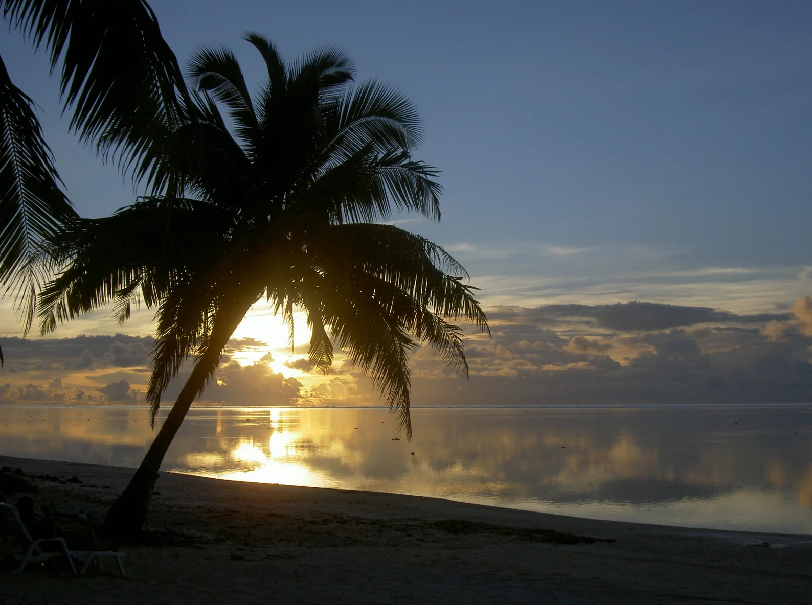
Kiritimati's immense land and lagoon system feels more like a dry ocean landscape than a compact tropical ring, with long roads, wetlands and bird colonies spread across huge distances.

Stay long enough to connect Kiritimati's headline landscape with one quieter local route rather than treating it as a single viewpoint.

Look a little closer

Worth discovering

The details that make Kiritimati different.

Destination view
01

Exceptional atoll land area

Uplift and sediment created an atoll with far more land than most, enclosing a complex system of lagoons and salt flats.

Destination view
02

A strategic nuclear history

British and American nuclear tests in the region left a significant twentieth-century legacy requiring informed interpretation.

Destination view
03

Seabird scale

Remote islets and flats support large colonies of terns, frigatebirds and other Pacific seabirds.

Photo journal

A closer look at Kiritimati

4 photographs
Deep background

The landscape memory of Kiritimati

The world's largest coral atoll by land area, a vast low island of lagoons, salt flats, seabirds and communities spread across the central Pacific. The deeper story links its visible features with the people and changes behind them.

Kiritimati's immense land and lagoon system feels more like a dry ocean landscape than a compact tropical ring, with long roads, wetlands and bird colonies spread across huge distances.

The strongest visual shorthand for Kiritimati is the experience described as “Large-scale atoll expedition”. Behind it lies a more complex relationship between physical processes, settlement and the modern idea of the place as a destination. At Kiritimati, allow enough time to connect Kiritimati's headline landscape with one quieter local route instead of reducing Kiritimati to a single viewpoint.

Continue to practical planning
Kiritimati island 77See the complete photo journal
Landform

How the landscape was assembled

The first layer of Kiritimati is geological and ecological rather than scenic. Low coral land, hypersaline lagoons, tidal channels, dry scrub and open ocean create a huge but vertically fragile atoll environment.

The map understates the role of the sea. At Kiritimati, “Exceptional atoll land area” makes clear that water is both a boundary and the route through which settlements, wildlife and outside connections developed. Uplift and sediment created an atoll with far more land than most, enclosing a complex system of lagoons and salt flats.

Cultural landscape

Settlement, movement and local knowledge

Kiritimati contains archaeological evidence of Polynesian visits and settlement within the remote Line Islands, although it was uninhabited when James Cook reached it on Christmas Eve 1777. Coconut planting and copra later brought a permanent workforce to an atoll whose enormous land area is divided by lagoons and salt flats.

Britain used Kiritimati as a base for atmospheric nuclear tests in 1957 and 1958, followed by United States tests in 1962. Military camps, roads and contaminated working histories became part of the island's landscape, while I-Kiribati settlement expanded after independence.

Change

The transition visible today

The nuclear era remains a central but often under-explained chapter, especially for veterans and labourers exposed during testing. Modern fisheries, seabird protection and climate adaptation now operate across infrastructure built for a strategic purpose that lasted only a few years.

Details to read

The small features that reveal the larger pattern

At Kiritimati, the feature “Exceptional atoll land area” is best understood as part of the surrounding system rather than an isolated stop. Uplift and sediment created an atoll with far more land than most, enclosing a complex system of lagoons and salt flats. At Kiritimati, it gives a concrete reference point for reading change rather than merely collecting viewpoints.

At Kiritimati, the feature “A strategic nuclear history” is one of the most useful pieces of visible evidence. British and American nuclear tests in the region left a significant twentieth-century legacy requiring informed interpretation. For Kiritimati, that relationship is more informative than treating the feature only as a photograph or checklist item.

At Kiritimati, the feature “Seabird scale” is best understood as part of the surrounding system rather than an isolated stop. Remote islets and flats support large colonies of terns, frigatebirds and other Pacific seabirds. Within Kiritimati, it is both an attraction and a record of the processes described above.

Present day

The place within its wider region

At Kiritimati, season is part of the landscape history, not merely a planning detail. Kiritimati is relatively dry for an equatorial atoll, but heat and sun are intense. Flights, supplies and local weather matter more than a conventional tourism season.

For Kiritimati, the most useful time of day is: dawn birding and late lagoon light.

For Kiritimati, plan this first: flight, accommodation, vehicle and supplies.

Placed within its wider geography, Kiritimati is not an isolated exception. For Kiritimati, the wider context shows that, the other Line Islands are among the Pacific's most remote protected marine landscapes, though practical access is highly limited.

Chronology

Key dates

  1. Cook visits on Christmas Eve

    The expedition recorded the atoll and supplied the English name Christmas Island.

  2. British nuclear tests

    Atmospheric weapons trials transformed the atoll into a Cold War military base.

  3. United States test series

    Further detonations extended the nuclear legacy before the base was dismantled.

In context

Get to know the place

The landscape

Low coral land, hypersaline lagoons, tidal channels, dry scrub and open ocean create a huge but vertically fragile atoll environment.

People and place

I-Kiribati communities live across several settlements with fishing, public services and limited imports shaped by extreme distance.

Seasonal character

Kiritimati is relatively dry for an equatorial atoll, but heat and sun are intense. Flights, supplies and local weather matter more than a conventional tourism season.

Beyond the main view

The other Line Islands are among the Pacific's most remote protected marine landscapes, though practical access is highly limited.

Travel notes

Plan your visit

Time needed
5-8 days
Getting around
International flight, local vehicle and boat
Effort
Moderate
Plan first
Flight, accommodation, vehicle and supplies
Time of day
Dawn birding and late lagoon light
Best window
Jan-Oct
Keep exploring

Where next?

All place stories