At Loango Coast, light, water and temperature reveal different structures at different times of year. The drier months generally make tracks and wildlife observation easier, though exact conditions vary across the coast. Rainy periods intensify vegetation and lagoon levels but complicate access. Marine and river conditions can change quickly, and itineraries need to remain responsive to local advice.
For Loango Coast, the main seasonal constraint is: the strongest planning window is Jun-Sep. For Loango Coast, outside it, check weather, daylight, road or ferry schedules and seasonal closures before committing to a fixed route.
For Loango Coast, one practical detail matters: distances, fuel, food and mobile coverage can be less predictable than the map suggests. For Loango Coast, carry offline maps and keep a margin in the schedule.
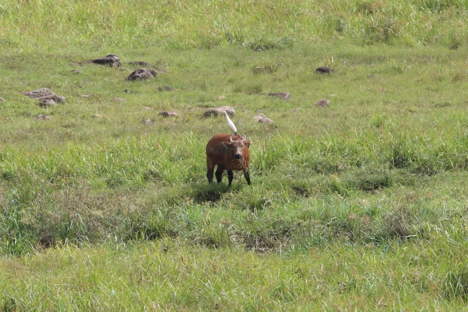
Placed within its wider geography, Loango Coast is not an isolated exception. For Loango Coast, the wider context shows that, loango forms part of Gabon's larger network of protected forests, wetlands and coastal habitats. For Loango Coast, a journey here is less about collecting viewpoints than spending time along lagoons and shorelines where multiple ecosystems overlap.