Eastern beaches
Open ocean beaches provide a strong sense of exposure and scale.
Plan the least frequent boat, ferry or exposed coastal section first. Use early or late light and keep a weather alternative during Oct-Apr.
Long beaches, dry hills and fishing settlements form a wind-exposed island off Oman’s eastern coast.
Open ocean beaches provide a strong sense of exposure and scale.
Plan the least frequent boat, ferry or exposed coastal section first. Use early or late light and keep a weather alternative during Oct-Apr.
The details that make Masirah Island different.
Open ocean beaches provide a strong sense of exposure and scale.
Several species use the island’s beaches, requiring careful seasonal access.
Low ridges break the flat coastal horizon and reveal the island’s geological structure.
Long beaches, dry hills and fishing settlements form a wind-exposed island off Oman’s eastern coast. This account follows the forces, communities and decisions that made the present landscape.
Masirah Island occupies a large island separated from mainland Oman by the Masirah Channel. Long beaches, dry hills and fishing settlements form a wind-exposed island off Oman’s eastern coast. Masirah belongs to a wider chain of Arabian Sea habitats connecting Oman’s desert coast with offshore reefs and migration routes.
Visitors often encounter Masirah Island through the idea of “Eastern beaches”, but the destination is more than that single scene. Its landscape carries evidence of work, movement, adaptation and environmental change. Open ocean beaches provide a strong sense of exposure and scale.
Continue to practical planningThe first layer of Masirah Island is geological and ecological rather than scenic. Low rocky ranges occupy the interior while sand beaches, tidal flats and shallow bays shape a long and varied shoreline.
Because land is limited, every ridge, bay and passage acquires practical importance. At Masirah Island, “Eastern beaches” is where that compressed geography becomes easiest to read. Open ocean beaches provide a strong sense of exposure and scale.
At Masirah Island, daily life gives the terrain a historical meaning that a viewpoint alone cannot provide. Fishing, ferry links and small settlements define everyday life; parts of the coast are also important nesting areas for marine turtles.
A close look at “Turtle nesting coast” makes the cultural layer of Masirah Island more concrete. Several species use the island’s beaches, requiring careful seasonal access. At Masirah Island, the surviving form links present-day identity with earlier work and settlement.
The decisive modern change at Masirah Island was access. At Masirah Island, transport and visitor infrastructure made the landscape easier to reach while concentrating pressure at the few points where roads, boats or trails enter it. At Masirah Island, that transition remains visible in the contrast between older working features and visitor infrastructure.
At Masirah Island, the feature “Eastern beaches” provides a precise clue to how the landscape works. Open ocean beaches provide a strong sense of exposure and scale. Within Masirah Island, it is both an attraction and a record of the processes described above.
At Masirah Island, the feature “Turtle nesting coast” is one of the most useful pieces of visible evidence. Several species use the island’s beaches, requiring careful seasonal access. For Masirah Island, that relationship is more informative than treating the feature only as a photograph or checklist item.
At Masirah Island, the feature “Interior hills” is one of the most useful pieces of visible evidence. Low ridges break the flat coastal horizon and reveal the island’s geological structure. For Masirah Island, that relationship is more informative than treating the feature only as a photograph or checklist item.
Masirah Island changes through the year because weather and biological cycles rearrange what can be seen and used. Winter brings milder temperatures and the most comfortable travel conditions; summer is hot, humid and strongly affected by seasonal winds.
For Masirah Island, the main seasonal constraint is: the strongest planning window is Oct-Apr. For Masirah Island, outside it, check weather, daylight, road or ferry schedules and seasonal closures before committing to a fixed route.
For Masirah Island, one practical detail matters: distances, fuel, food and mobile coverage can be less predictable than the map suggests. For Masirah Island, carry offline maps and keep a margin in the schedule.
Placed within its wider geography, Masirah Island is not an isolated exception. For Masirah Island, the wider context shows that, masirah belongs to a wider chain of Arabian Sea habitats connecting Oman’s desert coast with offshore reefs and migration routes.
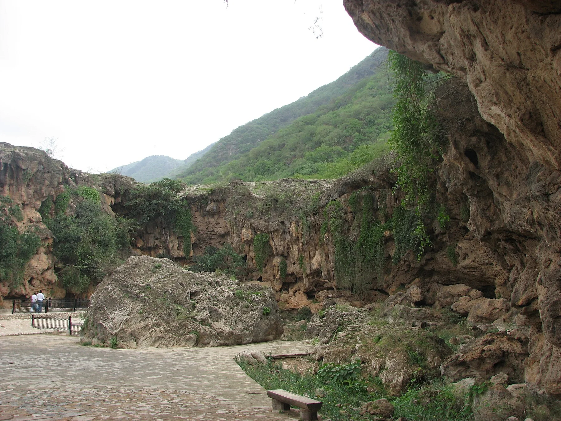
Monsoon cloud, green escarpments and frankincense country form a seasonal landscape unlike the rest of the Arabian Peninsula.
Explore this place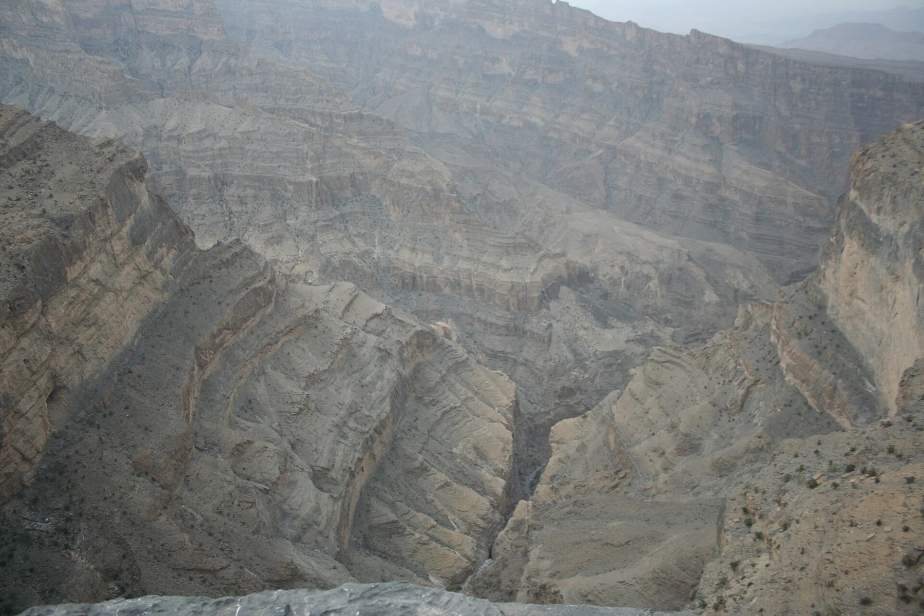
A narrow but mostly level trail follows the wall of Wadi Ghul to an abandoned village and hidden pool beneath Oman’s highest mountains.
Explore this place
Bare mountains descend directly into deep marine inlets at the northern tip of Oman, creating a coast of cliffs, villages and narrow water passages.
Explore this place