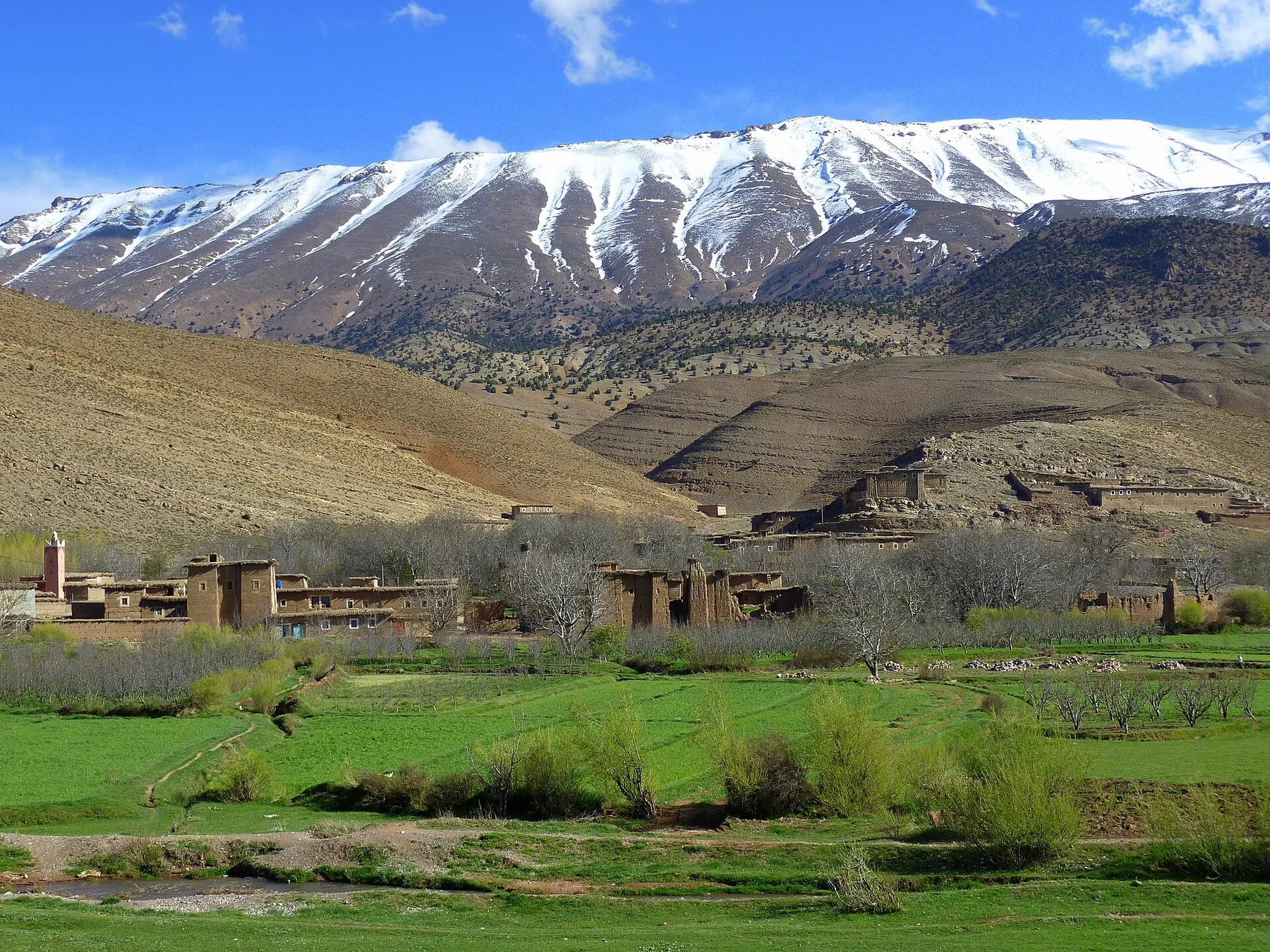
At Matobo Hills, light, water and temperature reveal different structures at different times of year. The dry season brings clearer paths, cooler conditions and concentrated wildlife around water. Summer rains turn the woodland green and intensify storms across exposed rock. Light changes quickly across the granite, especially near sunrise and sunset.
For Matobo Hills, the main seasonal constraint is: the strongest planning window is Apr-Oct. For Matobo Hills, outside it, check weather, daylight, road or ferry schedules and seasonal closures before committing to a fixed route.
For Matobo Hills, one practical detail matters: opening days can be more limiting than travel time. For Matobo Hills, check the principal site first, then organise the wider route around it.
Placed within its wider geography, Matobo Hills is not an isolated exception. For Matobo Hills, the wider context shows that, matobo lies close to Bulawayo and forms part of a broader southwestern Zimbabwean cultural region. For Matobo Hills, nearby villages, archaeological sites and the Matopos landscape beyond the park boundary extend the story beyond the most famous rock formations.