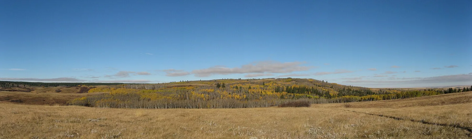
North Shore limestone

Mingan Archipelago

A low limestone archipelago in the Gulf of St Lawrence shaped into monoliths, sea caves, barrens and quiet island shorelines.

Limestone monolithsGulf islandsBoreal coast

Location
Quebec North Shore, Canada
Best window
Jun-Sep
Suggested stay
2-4 days
Go for
Cold-water island exploration
The reason to go

Limestone monoliths

Wave and frost erosion have isolated columns and sculpted forms along several island shores.

Plan the least frequent boat, ferry or exposed coastal section first. Use early or late light and keep a weather alternative during Jun-Sep.

Look a little closer

Worth discovering

The details that make Mingan Archipelago different.

Photo journal
01

Limestone monoliths

Wave and frost erosion have isolated columns and sculpted forms along several island shores.

Photo journal
02

Island barrens

Low vegetation and exposed bedrock create open walking landscapes above the Gulf.

Destination view
03

Boat approaches

Arrival from the water makes the relationship between mainland, islands and marine weather immediately visible.

Photo journal

A closer look at Mingan Archipelago

15 photographs
Deep background

How Mingan Archipelago became the place it is

A low limestone archipelago in the Gulf of St Lawrence shaped into monoliths, sea caves, barrens and quiet island shorelines. This account follows the forces, communities and decisions that made the present landscape.

The Mingan Archipelago stretches along Quebec's North Shore in the Gulf of St Lawrence. Dozens of low islands and islets contain limestone formations eroded into pillars, arches and overhangs. Access by boat separates the experience into individual island landings, each with a different balance of rock, vegetation and open water.

Many visits to Mingan Archipelago begin with the experience described as “Limestone monoliths”. The more revealing question is why it exists here, how people used the surrounding ground and what remains visible from earlier phases. Wave and frost erosion have isolated columns and sculpted forms along several island shores.

Continue to practical planning
011 066 Iles MinganSee the complete photo journal
Natural history

How the landscape was assembled

Understanding Mingan Archipelago starts below the visible surface. Flat sedimentary layers meet wave action, frost and wind, producing distinctive monoliths along exposed shores. Inland areas carry boreal forest, peatland and limestone barrens. Fog and changing marine light frequently reduce or expand the apparent distance between islands and mainland.

On an island, coast, altitude and exposure work together. At Mingan Archipelago, the feature described as “Limestone monoliths” shows how a short distance can separate sheltered ground from a very different ocean-facing environment. Wave and frost erosion have isolated columns and sculpted forms along several island shores.

Settlement and memory

The cultural layer of the place

At Mingan Archipelago, people learned to work with the landscape limits rather than arriving after its story was complete. Innu history and long use of the North Shore precede the contemporary park reserve. Fishing communities such as Havre-Saint-Pierre provide access, services and local maritime knowledge. The archipelago is protected, so landings and movement are shaped by conservation rules and sea conditions.

A close look at “Island barrens” makes the cultural layer of Mingan Archipelago more concrete. Low vegetation and exposed bedrock create open walking landscapes above the Gulf. At Mingan Archipelago, the surviving form links present-day identity with earlier work and settlement.

Modern history

The change that redefined the place

Formal protection changed how Mingan Archipelago was described and managed. At Mingan Archipelago, new boundaries, visitor rules and conservation priorities created a public identity that still has to coexist with settlements, customary use and economic pressures. Mingan Archipelago should therefore be read as an evolving cultural landscape rather than a timeless scene.

Visible evidence

The small features that reveal the larger pattern

Look closely at the feature “Limestone monoliths” in Mingan Archipelago; it carries information that a panoramic view can miss. Wave and frost erosion have isolated columns and sculpted forms along several island shores. Its position and condition at Mingan Archipelago connect physical history with the way people use the place now.

At Mingan Archipelago, the feature “Island barrens” is one of the most useful pieces of visible evidence. Low vegetation and exposed bedrock create open walking landscapes above the Gulf. At Mingan Archipelago, the detail links local scale with the wider regional pattern.

At Mingan Archipelago, the feature “Boat approaches” is best understood as part of the surrounding system rather than an isolated stop. Arrival from the water makes the relationship between mainland, islands and marine weather immediately visible. Its position and condition at Mingan Archipelago connect physical history with the way people use the place now.

Living landscape

The place within its wider region

A single visit to Mingan Archipelago captures only one phase of its annual cycle. Summer offers the main boat season, long daylight and access to island trails. Water remains cold and weather can turn quickly, with fog or wind affecting departures. Spring and autumn are quieter but have fewer transport options and more demanding marine conditions.

For Mingan Archipelago, the main seasonal constraint is: the strongest planning window is Jun-Sep. For Mingan Archipelago, outside it, check weather, daylight, road or ferry schedules and seasonal closures before committing to a fixed route.

For Mingan Archipelago, one practical detail matters: ferries, tunnels and weather can change the order of the day. For Mingan Archipelago, build the route around the least frequent connection, not the closest viewpoint.

Placed within its wider geography, Mingan Archipelago is not an isolated exception. For Mingan Archipelago, the wider context shows that, the archipelago belongs to a much longer north-shore journey of boreal settlements, rivers and Gulf landscapes. For Mingan Archipelago, spending more than one day allows different islands to reveal how varied a seemingly low and uniform coastline can be.
Travel notes

Plan your visit

Time needed
2-4 days
Getting around
Car or local transport, plus ferries or boats and short walks
Effort
Moderate
Plan first
Main transport and accommodation
Time of day
Morning for movement; late light for viewpoints
Best window
Jun-Sep
Traveller stories

Stories from people who have been here.

First-hand moments, practical notes and overlooked details from Mingan Archipelago.

Loading traveller stories…

Browse all traveller stories ↗

Keep exploring

Where next?

All place stories