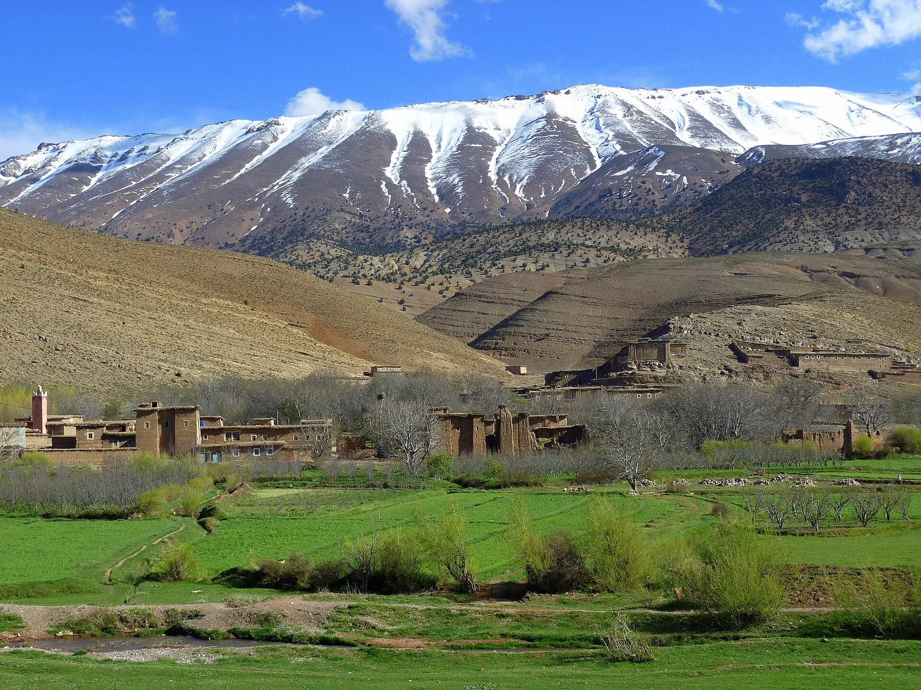
A single visit to Mount Mulanje captures only one phase of its annual cycle. The dry season offers clearer routes and cooler highland conditions. During the rains, waterfalls strengthen and vegetation becomes intensely green, but cloud, slippery rock and swollen streams change movement. Temperatures fall quickly with elevation.
For Mount Mulanje, the main seasonal constraint is: the strongest planning window is May-Oct. For Mount Mulanje, outside it, check weather, daylight, road or ferry schedules and seasonal closures before committing to a fixed route.
For Mount Mulanje, one practical detail matters: distances, fuel, food and mobile coverage can be less predictable than the map suggests. For Mount Mulanje, carry offline maps and keep a margin in the schedule.
Placed within its wider geography, Mount Mulanje is not an isolated exception. For Mount Mulanje, the wider context shows that, mulanje stands near the Mozambique border and south of the Shire Highlands. For Mount Mulanje, tea landscapes around Thyolo and the Zomba Plateau provide regional comparisons, showing how isolated highlands shape climate and settlement across southern Malawi.