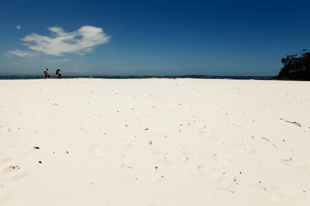
Willandra ancient landscape

Mungo

A dry lake basin of eroded lunette formations and profound Aboriginal history within the semi-arid interior of southeastern Australia.

Dry lakeAboriginal heritageLunette erosion

Location
Willandra Lakes, Australia
Best window
Apr-Oct
Suggested stay
3-5 days
Go for
Ancient lake-bed space
The reason to go

Walls of China

Eroded lake-edge sediments form a long sequence of pinnacles, ridges and exposed layers.

Check opening days or local access first, then connect the main site to the surrounding streets, paths or landscape instead of treating it as an isolated stop.

Look a little closer

Worth discovering

The details that make Mungo different.

Photo journal
01

Walls of China

Eroded lake-edge sediments form a long sequence of pinnacles, ridges and exposed layers.

Destination view
02

Aboriginal cultural record

The basin preserves evidence of human life over an extraordinary span of environmental change.

Destination view
03

Mungo Track

A self-drive circuit crosses the lake floor and surrounding dunes, revealing the broader shape of the ancient basin.

Photo journal

A closer look at Mungo

12 photographs
Origins and change

How Mungo became the place it is

A dry lake basin of eroded lunette formations and profound Aboriginal history within the semi-arid interior of southeastern Australia. Its character becomes clearer when geology, settlement and modern protection are considered together.

Mungo National Park protects part of the Willandra Lakes system in southwestern New South Wales. The lakes have been dry for thousands of years, but their old shorelines preserve evidence of environmental change and exceptionally deep Aboriginal history. Wind and rain continue to sculpt the eastern lunette into ridges, gullies and pale exposed layers.

The strongest visual shorthand for Mungo is the experience described as “Walls of China”. Behind it lies a more complex relationship between physical processes, settlement and the modern idea of the place as a destination. Eroded lake-edge sediments form a long sequence of pinnacles, ridges and exposed layers.

Continue to practical planning
Erosion in Lake Mungo National ParkSee the complete photo journal
Physical setting

From underlying structure to visible landscape

Understanding Mungo starts below the visible surface. The former lake floor is broad and almost level, bordered by dunes and the eroded formation known as the Walls of China. Sparse vegetation, changing light and dust emphasise small variations in colour and texture. The landscape can appear empty until its geological layers and cultural record are understood.

Routes and settlements at Mungo follow the water system even when the map emphasises roads. “Walls of China” exposes that older logic. Eroded lake-edge sediments form a long sequence of pinnacles, ridges and exposed layers.

Lives and livelihoods

The human landscape behind the scenery

The cultural layer of Mungo is easiest to read in homes, fields, paths and local institutions. Mungo is Country for the Paakantji, Ngyiampaa and Mutthi Mutthi peoples. Archaeological discoveries have demonstrated long human presence, but contemporary Traditional Owners remain central to interpretation and management. Guided access helps place scientific narratives within living cultural authority.

The role of “Aboriginal cultural record” is especially revealing at Mungo. The basin preserves evidence of human life over an extraordinary span of environmental change. In the history of Mungo, it connects the wider regional context with a specific place that can still be examined today.

Reorganisation

How access and attention changed the place

Formal protection changed how Mungo was described and managed. At Mungo, new boundaries, visitor rules and conservation priorities created a public identity that still has to coexist with settlements, customary use and economic pressures. At Mungo, the result is not a clean break with the past because earlier routes and habits continue to organise the present landscape.

Field notes

The evidence still visible on the ground

At Mungo, the feature “Walls of China” is best understood as part of the surrounding system rather than an isolated stop. Eroded lake-edge sediments form a long sequence of pinnacles, ridges and exposed layers. Its position and condition at Mungo connect physical history with the way people use the place now.

At Mungo, the significance of the feature “Aboriginal cultural record” goes beyond its visual impact. The basin preserves evidence of human life over an extraordinary span of environmental change. For Mungo, that relationship is more informative than treating the feature only as a photograph or checklist item.

At Mungo, the feature “Mungo Track” is one of the most useful pieces of visible evidence. A self-drive circuit crosses the lake floor and surrounding dunes, revealing the broader shape of the ancient basin. At Mungo, it gives a concrete reference point for reading change rather than merely collecting viewpoints.

Present day

A living landscape, not a frozen scene

Mungo changes through the year because weather and biological cycles rearrange what can be seen and used. Autumn through spring offers cooler daytime conditions for exposed travel. Summer heat can be severe, and rain may close unsealed roads even though the climate is generally dry. Sunrise and sunset provide the strongest light on the lunette and the most comfortable temperatures.

For Mungo, the main seasonal constraint is: the strongest planning window is Apr-Oct. For Mungo, outside it, check weather, daylight, road or ferry schedules and seasonal closures before committing to a fixed route.

For Mungo, one practical detail matters: cloud, wind and trail conditions can change quickly. For Mungo, put the highest or most exposed stop first and keep a lower-level alternative.

Placed within its wider geography, Mungo is not an isolated exception. Mungo belongs to the larger Willandra Lakes World Heritage landscape, a network of ancient basins rather than an isolated formation. For Mungo, the long road approach from regional towns reinforces the scale of the semi-arid interior and the need for careful preparation.

Travel notes

Plan your visit

Time needed
3-5 days
Getting around
Car to access points, then walking or hiking
Effort
Moderate
Plan first
Access conditions, permits or a local guide
Time of day
Start early for clearer conditions and more time
Best window
Apr-Oct
Traveller stories

Stories from people who have been here.

First-hand moments, practical notes and overlooked details from Mungo.

Loading traveller stories…

Browse all traveller stories ↗

Keep exploring

Where next?

All place stories