Northern Canada by river

Nahanni

A wild river system of canyons, waterfalls, karst and mountain valleys cuts through Canada's remote Mackenzie Mountains.

Virginia FallsRiver canyonsMackenzie Mountains

Location
Northwest Territories, Canada
Best window
Jun-Aug
Suggested stay
3-5 days
Go for
Remote river expedition
The reason to go

Nailicho

A powerful waterfall and island divide the river in one of northern Canada's most dramatic settings.

Start early and make this the first exposed stop of the day. Keep a lower route ready if cloud, heat, wind or trail conditions change during Jun-Aug.

Look a little closer

Worth discovering

The details that make Nahanni different.

Destination view
01

Nailicho

A powerful waterfall and island divide the river in one of northern Canada's most dramatic settings.

Photo journal
02

Canyon sequence

The South Nahanni cuts through successive limestone walls that structure a long river journey.

Destination view
03

Karst and hot springs

Caves, mineral deposits and warm water reveal complex geology beyond the visible river.

Photo journal

A closer look at Nahanni

12 photographs
Landscape and history

The making of Nahanni

A wild river system of canyons, waterfalls, karst and mountain valleys cuts through Canada's remote Mackenzie Mountains. This account follows the forces, communities and decisions that made the present landscape.

Nahanni National Park Reserve protects a large section of the South Nahanni River and surrounding Mackenzie Mountains. The river passes through broad valleys, deep canyons and one of Canada's great waterfalls. With no road access to its core, the landscape retains a scale defined by aircraft, river travel and extended self-sufficient journeys.

Visitors often encounter Nahanni through the idea of “Nailicho”, but the destination is more than that single scene. Its landscape carries evidence of work, movement, adaptation and environmental change. A powerful waterfall and island divide the river in one of northern Canada's most dramatic settings.

Continue to practical planning
Nahanni -VirginiaFalls2See the complete photo journal
Landform

Why the terrain has this form

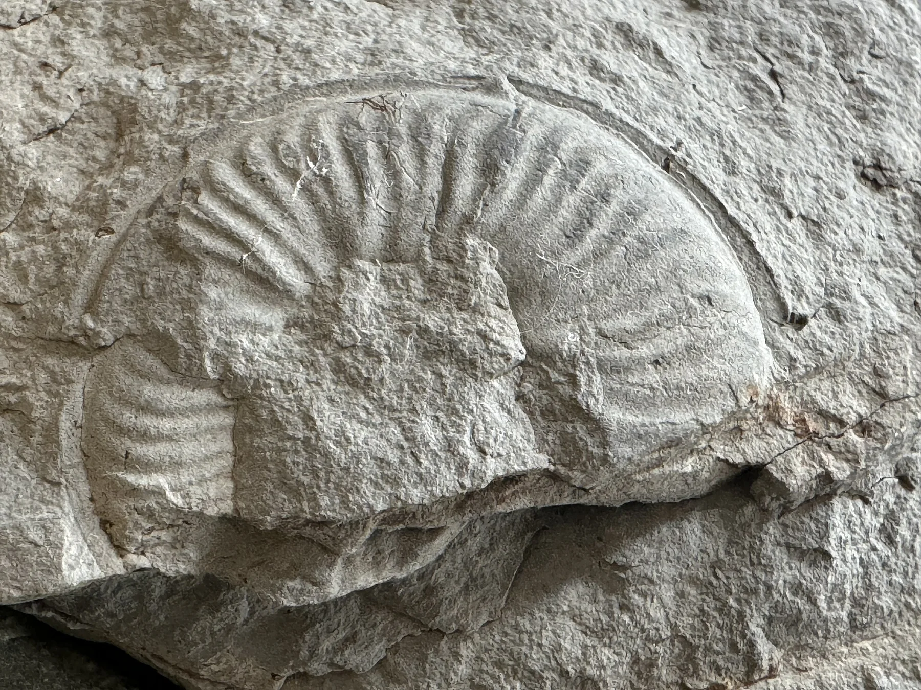
Understanding Nahanni starts below the visible surface. Nailicho, also known as Virginia Falls, divides the river before it enters a sequence of limestone canyons. Hot springs, karst caves, tufa formations and mountain ranges add geological variety beyond the main river corridor. Fire, flood and seasonal ice continue to shape a northern ecosystem that remains visibly dynamic.

Water is not simply scenery at Nahanni; it organises erosion, habitat and movement. “Nailicho” is where those roles become easiest to separate and understand. A powerful waterfall and island divide the river in one of northern Canada's most dramatic settings.

Lives and livelihoods

People, work and memory

Nahanni has been shaped as much by livelihoods and movement as by natural processes. Dene peoples have long known and used the Nahanni region, and Indigenous place names carry histories not captured by expedition narratives alone. Later mining, prospecting and river travel added other layers. Contemporary park management increasingly recognises Indigenous rights and knowledge alongside wilderness conservation.

The role of “Canyon sequence” is especially revealing at Nahanni. The South Nahanni cuts through successive limestone walls that structure a long river journey. In the history of Nahanni, it connects the wider regional context with a specific place that can still be examined today.

Reorganisation

The modern turning point

Formal protection changed how Nahanni was described and managed. At Nahanni, new boundaries, visitor rules and conservation priorities created a public identity that still has to coexist with settlements, customary use and economic pressures. At Nahanni, the consequences are clearest where traditional use, protection and tourism occupy the same ground.

On the ground

What to read in the landscape

At Nahanni, the significance of the feature “Nailicho” goes beyond its visual impact. A powerful waterfall and island divide the river in one of northern Canada's most dramatic settings. At Nahanni, it gives a concrete reference point for reading change rather than merely collecting viewpoints.

Look closely at the feature “Canyon sequence” in Nahanni; it carries information that a panoramic view can miss. The South Nahanni cuts through successive limestone walls that structure a long river journey. At Nahanni, the detail links local scale with the wider regional pattern.

Look closely at the feature “Karst and hot springs” in Nahanni; it carries information that a panoramic view can miss. Caves, mineral deposits and warm water reveal complex geology beyond the visible river. At Nahanni, the detail links local scale with the wider regional pattern.

Continuity

The place within its wider region

At Nahanni, light, water and temperature reveal different structures at different times of year. The practical travel window is short, generally from June through August. River levels, wildfire, cold rain and insects can all change conditions quickly. Winter closes the landscape into ice, snow and extreme cold, making the seasonal concentration of access a defining feature rather than a minor inconvenience.

For Nahanni, the main seasonal constraint is: the strongest planning window is Jun-Aug. For Nahanni, outside it, check weather, daylight, road or ferry schedules and seasonal closures before committing to a fixed route.

For Nahanni, one practical detail matters: distances, fuel, food and mobile coverage can be less predictable than the map suggests. For Nahanni, carry offline maps and keep a margin in the schedule.

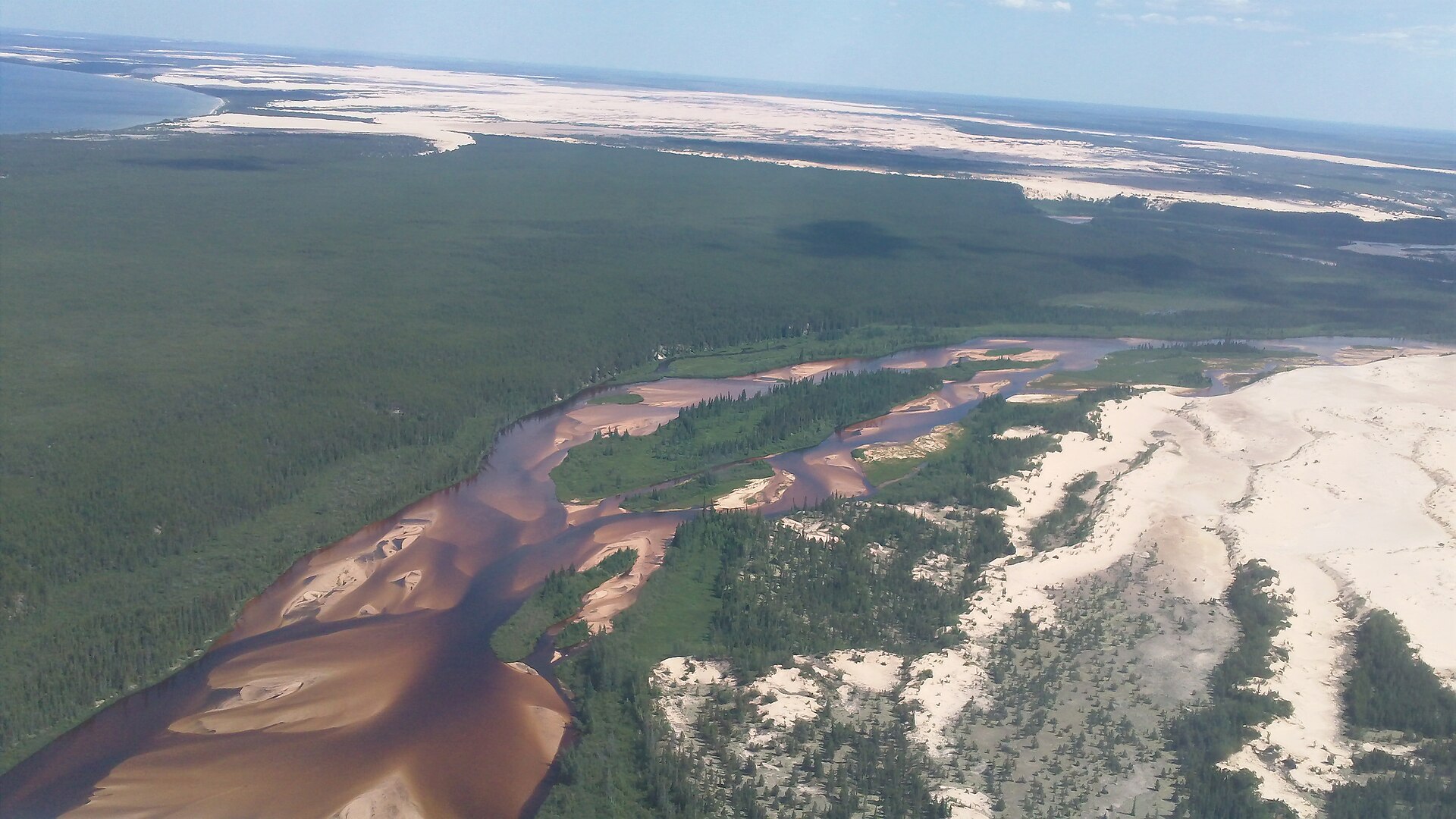
Placed within its wider geography, Nahanni is not an isolated exception. Nahanni links with the broader Dehcho region, neighbouring mountain protected areas and the watersheds flowing toward the Mackenzie River. For Nahanni, its value lies not only in famous canyons but in preserving a connected northern system large enough for ecological processes and Indigenous land relationships to continue.
Travel notes

Plan your visit

Time needed
3-5 days
Getting around
4x4 or local driver, with short walks at the main sites
Effort
Moderate to demanding
Plan first
Main transport and accommodation
Time of day
Start early for clearer conditions and more time
Best window
Jun-Aug
Traveller stories

Stories from people who have been here.

First-hand moments, practical notes and overlooked details from Nahanni.

Loading traveller stories…

Browse all traveller stories ↗

Keep exploring

Where next?

All place stories