River channels
A dense network of natural and managed waterways structures movement across the lowland.
Plan the least frequent boat, ferry or exposed coastal section first. Use early or late light and keep a weather alternative during Mar-Oct.
Wetlands, reed beds, orchard fields and river channels spread between limestone mountains and the Adriatic on Croatia’s southern coast.
A dense network of natural and managed waterways structures movement across the lowland.
Plan the least frequent boat, ferry or exposed coastal section first. Use early or late light and keep a weather alternative during Mar-Oct.
The details that make Neretva Delta different.
A dense network of natural and managed waterways structures movement across the lowland.
Reed beds and lagoons preserve important habitat within an intensively used agricultural delta.
Citrus groves and narrow fields show how communities adapted fertile alluvial ground.
Wetlands, reed beds, orchard fields and river channels spread between limestone mountains and the Adriatic on Croatia’s southern coast. Its character becomes clearer when geology, settlement and modern protection are considered together.
Neretva Delta is best approached through the relationship between its setting and its lived landscape. The Neretva reaches the Adriatic through a broad lowland of channels, reclaimed fields and remaining wetlands near Ploce and Opuzen. It creates a flat, water-shaped landscape that contrasts sharply with the limestone mountains rising nearby.
Many visits to Neretva Delta begin with the experience described as “River channels”. The more revealing question is why it exists here, how people used the surrounding ground and what remains visible from earlier phases. A dense network of natural and managed waterways structures movement across the lowland.
Continue to practical planningThe first layer of Neretva Delta is geological and ecological rather than scenic. River branches, drainage canals, reed beds and lagoons divide the delta into narrow strips of cultivable land. The horizon stays low until the surrounding karst ridges suddenly frame the wetland from the east and north.
Water continually redraws the practical map of Neretva Delta. “River channels” is one of the clearest places to see channels, vegetation and open ground exchange roles. A dense network of natural and managed waterways structures movement across the lowland.
Neretva Delta has been shaped as much by livelihoods and movement as by natural processes. Agriculture is central to the delta’s identity, especially citrus and vegetable production on reclaimed ground. Small boats still move through local channels, while towns and villages sit on slightly raised land between cultivated plots.
The role of “Wetland remnants” is especially revealing at Neretva Delta. Reed beds and lagoons preserve important habitat within an intensively used agricultural delta. In the history of Neretva Delta, it connects the wider regional context with a specific place that can still be examined today.
The decisive modern change at Neretva Delta was access. At Neretva Delta, transport and visitor infrastructure made the landscape easier to reach while concentrating pressure at the few points where roads, boats or trails enter it. At Neretva Delta, the result is not a clean break with the past because earlier routes and habits continue to organise the present landscape.
Look closely at the feature “River channels” in Neretva Delta; it carries information that a panoramic view can miss. A dense network of natural and managed waterways structures movement across the lowland. Its position and condition at Neretva Delta connect physical history with the way people use the place now.
At Neretva Delta, the feature “Wetland remnants” is best understood as part of the surrounding system rather than an isolated stop. Reed beds and lagoons preserve important habitat within an intensively used agricultural delta. Its position and condition at Neretva Delta connect physical history with the way people use the place now.
At Neretva Delta, the feature “Orchard landscape” is one of the most useful pieces of visible evidence. Citrus groves and narrow fields show how communities adapted fertile alluvial ground. At Neretva Delta, the detail links local scale with the wider regional pattern.
At Neretva Delta, season is part of the landscape history, not merely a planning detail. Spring is strong for birdlife and fresh vegetation, summer brings warm coastal conditions and active farming, and early autumn coincides with harvest activity. Water levels and bird movements change the character of the wetlands through the year.
For Neretva Delta, the main seasonal constraint is: the strongest planning window is Mar-Oct. For Neretva Delta, outside it, check weather, daylight, road or ferry schedules and seasonal closures before committing to a fixed route.
For Neretva Delta, one practical detail matters: cloud, wind and trail conditions can change quickly. For Neretva Delta, put the highest or most exposed stop first and keep a lower-level alternative.
Placed within its wider geography, Neretva Delta is not an isolated exception. For Neretva Delta, the wider context shows that, the delta sits between the Dalmatian coast, the Peljesac peninsula and the lower Neretva valley extending into Bosnia and Herzegovina. For Neretva Delta, its flat agricultural geometry is an important counterpoint to the rocky Adriatic landscapes around it.
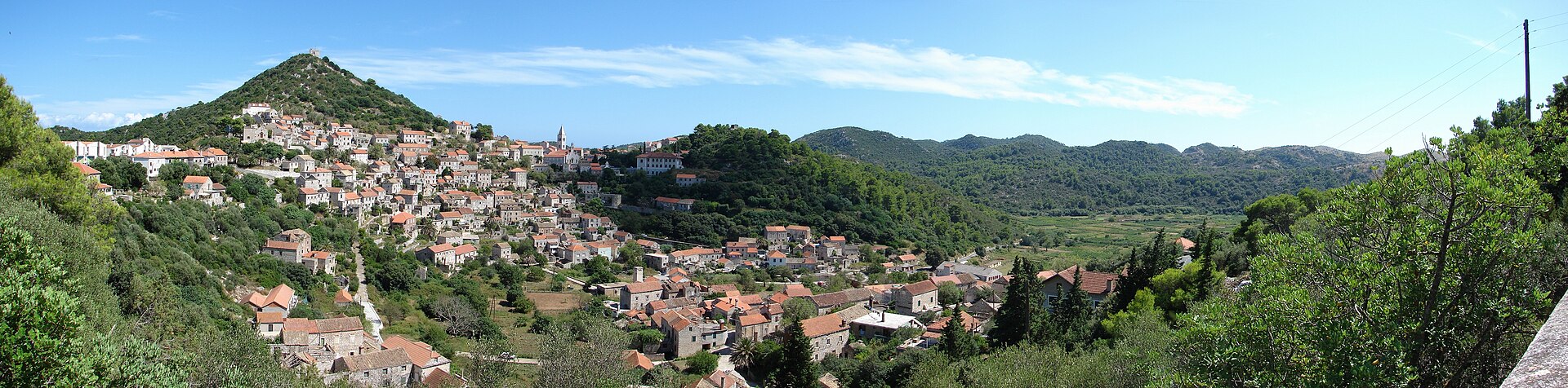
A forested Adriatic island of stone villages, sheltered coves and a night sky kept unusually dark by its distance from the mainland.
Explore this place
A carefully built dry-stone path traverses the karst ridges of Northern Velebit with unusually gentle gradients.
Explore this place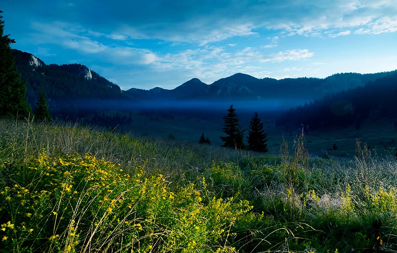
A long limestone mountain barrier rises directly above the Adriatic, dividing coastal karst from forested interior valleys.
Explore this place