Rainforest

Nouabale-Ndoki

A largely intact lowland rainforest protects gorillas, elephants and remote river systems near the borders with Cameroon and the Central African Republic.

RainforestWildlifeRiver travelMbeli BaiSangha River approach

Location
Northern Congo Basin, Republic of the Congo
Best window
Dec-Feb, Jun-Aug
Suggested stay
3-5 days
Go for
Rainforest expedition
The reason to go

Watch gorillas from the edge of Mbeli Bai

The open clearing makes social behaviour visible for hours, while the surrounding forest remains almost completely roadless.

Use an experienced local guide and begin early, when wildlife activity, water levels and cooler conditions are most favourable.

Look a little closer

Worth discovering

The details that make Nouabale-Ndoki different.

Destination view
01

Mbeli Bai

Long-term research and observation focus on gorillas and forest elephants.

Destination view
02

Sangha River approach

River travel is the principal gateway to the protected forest.

Destination view
03

Ndoki forest

Large tracts remain without permanent settlement or roads.

Photo journal

A closer look at Nouabale-Ndoki

2 photographs
Beyond the surface

Reading the layers of Nouabale-Ndoki

A largely intact lowland rainforest protects gorillas, elephants and remote river systems near the borders with Cameroon and the Central African Republic. Its character becomes clearer when geology, settlement and modern protection are considered together.

Nouabale-Ndoki is centred on Northern Congo Basin, where a largely intact lowland rainforest protects gorillas, elephants and remote river systems near the borders with Cameroon and the Central African Republic. The strongest reason to make the journey is to watch gorillas from the edge of mbeli bai.

The familiar invitation at Nouabale-Ndoki is “Watch gorillas from the edge of Mbeli Bai”, yet that image makes more sense when it is connected to the landform, the local economy and the changes that determined access. The open clearing makes social behaviour visible for hours, while the surrounding forest remains almost completely roadless.

Continue to practical planning
LoxodontacyclotisSee the complete photo journal
Landform

The landform before the landmark

Understanding Nouabale-Ndoki starts below the visible surface. Dense canopy limits long views, making rivers, clearings, ridges and waterfalls the key points of orientation. Humidity, rain and trail conditions shape the pace more than the distance alone.

Water is not simply scenery at Nouabale-Ndoki; it organises erosion, habitat and movement. “Mbeli Bai” is where those roles become easiest to separate and understand. Long-term research and observation focus on gorillas and forest elephants.

Lives and livelihoods

How people learned to live here

Nouabale-Ndoki protects forest that escaped industrial logging longer than many surrounding concessions. Mbendjele and other forest peoples used the wider Sangha landscape for hunting, gathering and trade, while colonial and postcolonial companies expanded timber extraction along navigable rivers.

The national park was created in 1993 after biological surveys documented unusually intact wildlife populations. Research sites such as Mbeli Bai and the Goualougo Triangle made the park internationally important for gorilla, chimpanzee and elephant studies.

Change

A landscape reorganised

World Heritage recognition within the Sangha Trinational in 2012 strengthened transboundary protection, but roads and logging concessions outside the boundary still determine access, poaching risk and ecological connectivity.

Visible evidence

The evidence still visible on the ground

At Nouabale-Ndoki, the significance of the feature “Mbeli Bai” goes beyond its visual impact. Long-term research and observation focus on gorillas and forest elephants. At Nouabale-Ndoki, it gives a concrete reference point for reading change rather than merely collecting viewpoints.

At Nouabale-Ndoki, the significance of the feature “Sangha River approach” goes beyond its visual impact. River travel is the principal gateway to the protected forest. Its position and condition at Nouabale-Ndoki connect physical history with the way people use the place now.

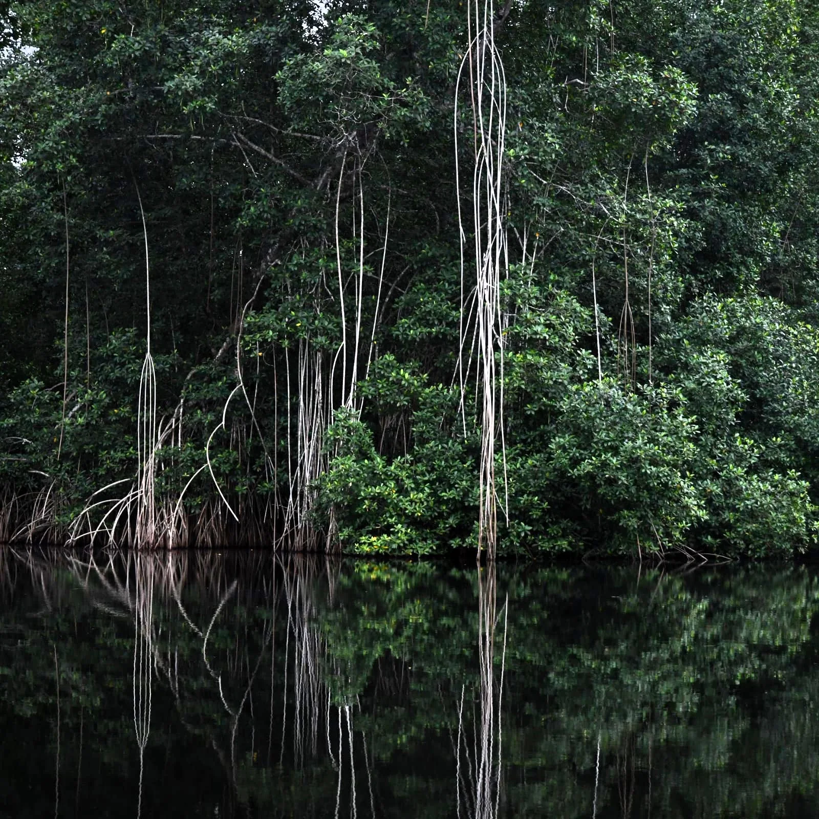
Look closely at the feature “Ndoki forest” in Nouabale-Ndoki; it carries information that a panoramic view can miss. Large tracts remain without permanent settlement or roads. Within Nouabale-Ndoki, it is both an attraction and a record of the processes described above.

Living landscape

What continues to change

At Nouabale-Ndoki, season is part of the landscape history, not merely a planning detail. For Nouabale-Ndoki, the most reliable visiting window is Dec-Feb, Jun-Aug.

For Nouabale-Ndoki, the stated visiting window is Dec-Feb, Jun-Aug, but its practical meaning depends on local weather, water and transport rather than the calendar alone.

Placed within its wider geography, Nouabale-Ndoki is not an isolated exception. Beyond the best-known image of Nouabale-Ndoki feature, Nouabale-Ndoki matters because sangha river approach and ndoki forest place the destination inside a broader regional story.
Chronology

Key dates

  1. Forest territories and river trade

    Local communities moved through a landscape later divided into concessions and protected areas.

  2. National park created

    Surveys and international partnerships secured protection for a large intact forest block.

  3. Sangha Trinational inscription

    Nouabale-Ndoki joined neighbouring parks in a cross-border World Heritage landscape.

Travel notes

Plan your visit

Time needed
3-5 days
Getting around
Local guide, river transport and forest walking
Effort
Moderate to demanding
Plan first
Guide, permits, health preparation and transfers
Time of day
Early morning and late afternoon
Best window
Dec-Feb, Jun-Aug
Traveller stories

Stories from people who have been here.

First-hand moments, practical notes and overlooked details from Nouabale-Ndoki.

Loading traveller stories…

Browse all traveller stories ↗

Keep exploring

Where next?

All place stories