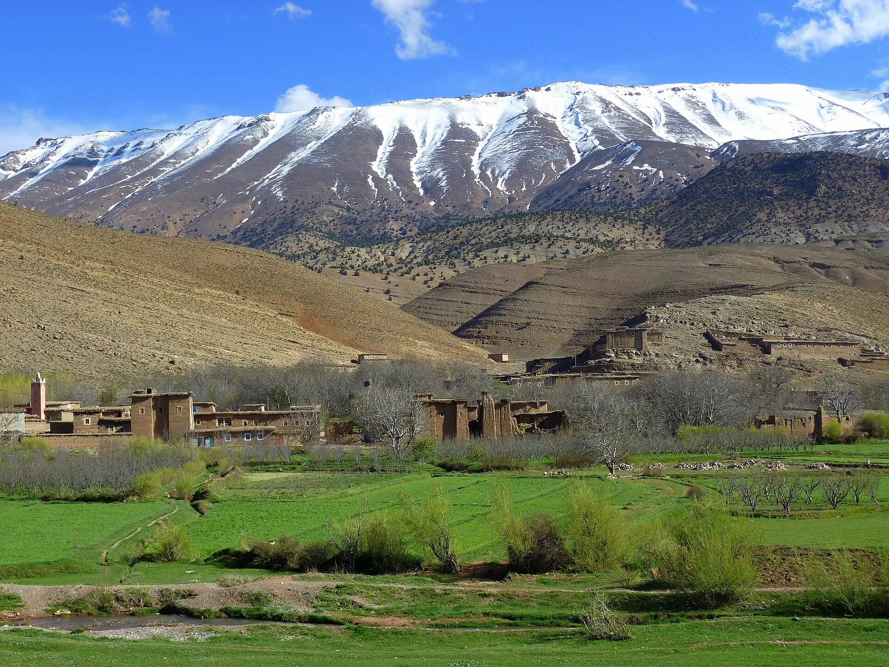
A single visit to Nyika Plateau captures only one phase of its annual cycle. The dry season from May to October offers clearer roads and strong long-distance views, though nights can be cold. The rainy season turns the grassland intensely green and brings flowers, but tracks may become difficult. Mist can arrive in any season and is part of the plateau's distinctive atmosphere.
For Nyika Plateau, the main seasonal constraint is: the strongest planning window is May-Oct. For Nyika Plateau, outside it, check weather, daylight, road or ferry schedules and seasonal closures before committing to a fixed route.
For Nyika Plateau, one practical detail matters: distances, fuel, food and mobile coverage can be less predictable than the map suggests. For Nyika Plateau, carry offline maps and keep a margin in the schedule.
Placed within its wider geography, Nyika Plateau is not an isolated exception. For Nyika Plateau, the wider context shows that, nyika links the northern Malawi highlands with Zambia and the broader Rift Valley. For Nyika Plateau, combining it with Lake Malawi or the Viphya uplands reveals a sharp transition between plateau, escarpment and tropical lake, each supporting different communities and ecological systems.