Main Okavango channel
A strong river corridor precedes the delta’s maze of distributaries.
Plan the least frequent boat, ferry or exposed coastal section first. Use early or late light and keep a weather alternative during May-Oct.
A broad river enters Botswana through papyrus channels and fishing settlements before spreading into the Okavango Delta.
A strong river corridor precedes the delta’s maze of distributaries.
Plan the least frequent boat, ferry or exposed coastal section first. Use early or late light and keep a weather alternative during May-Oct.
The details that make Okavango Panhandle different.
A strong river corridor precedes the delta’s maze of distributaries.
Dense wetland vegetation shapes views and movement by boat.
Nearby rock-art hills add deep cultural history to the regional route.
A broad river enters Botswana through papyrus channels and fishing settlements before spreading into the Okavango Delta. This account follows the forces, communities and decisions that made the present landscape.
Okavango Panhandle occupies the northern channel system of the Okavango River. A broad river enters Botswana through papyrus channels and fishing settlements before spreading into the Okavango Delta. The Panhandle connects Angola’s highland catchments with the famous inland delta, revealing the upstream system that sustains the wetlands.
Visitors often encounter Okavango Panhandle through the idea of “Main Okavango channel”, but the destination is more than that single scene. Its landscape carries evidence of work, movement, adaptation and environmental change. A strong river corridor precedes the delta’s maze of distributaries.
Continue to practical planningBefore roads, settlements or protected-area boundaries, the terrain of Okavango Panhandle set the basic terms. The main river is more defined here than in the central delta, with deep channels, reed beds, floodplains and riverine woodland.
Water continually redraws the practical map of Okavango Panhandle. “Main Okavango channel” is one of the clearest places to see channels, vegetation and open ground exchange roles. A strong river corridor precedes the delta’s maze of distributaries.
Okavango Panhandle has been shaped as much by livelihoods and movement as by natural processes. Villages and fishing camps depend on seasonal water, boats and floodplain resources, giving the wetland a clear everyday human context.
A close look at “Papyrus and reed beds” makes the cultural layer of Okavango Panhandle more concrete. Dense wetland vegetation shapes views and movement by boat. At Okavango Panhandle, the surviving form links present-day identity with earlier work and settlement.
The decisive modern change at Okavango Panhandle was access. At Okavango Panhandle, transport and visitor infrastructure made the landscape easier to reach while concentrating pressure at the few points where roads, boats or trails enter it. At Okavango Panhandle, the current visitor experience is the newest layer rather than the whole history.
At Okavango Panhandle, the feature “Main Okavango channel” provides a precise clue to how the landscape works. A strong river corridor precedes the delta’s maze of distributaries. Within Okavango Panhandle, the feature explains why this destination differs from nearby landscapes.
Look closely at the feature “Papyrus and reed beds” in Okavango Panhandle; it carries information that a panoramic view can miss. Dense wetland vegetation shapes views and movement by boat. Within Okavango Panhandle, the feature explains why this destination differs from nearby landscapes.
At Okavango Panhandle, the significance of the feature “Tsodilo connection” goes beyond its visual impact. Nearby rock-art hills add deep cultural history to the regional route. Within Okavango Panhandle, the feature explains why this destination differs from nearby landscapes.
At Okavango Panhandle, season is part of the landscape history, not merely a planning detail. The dry winter months are cooler and coincide with high floodwater moving south; summer brings heat, rain and different bird activity.
For Okavango Panhandle, the main seasonal constraint is: the strongest planning window is May-Oct. For Okavango Panhandle, outside it, check weather, daylight, road or ferry schedules and seasonal closures before committing to a fixed route.
For Okavango Panhandle, one practical detail matters: wind, sea state and tide can matter as much as distance. For Okavango Panhandle, check conditions before boat trips, exposed cliffs or tidal sections.
Placed within its wider geography, Okavango Panhandle is not an isolated exception. For Okavango Panhandle, the wider context shows that, the Panhandle connects Angola’s highland catchments with the famous inland delta, revealing the upstream system that sustains the wetlands.

An immense system of salt pans and grassland where seasonal water, migration and ancient lake sediments produce radical changes in scale and colour.
Explore this place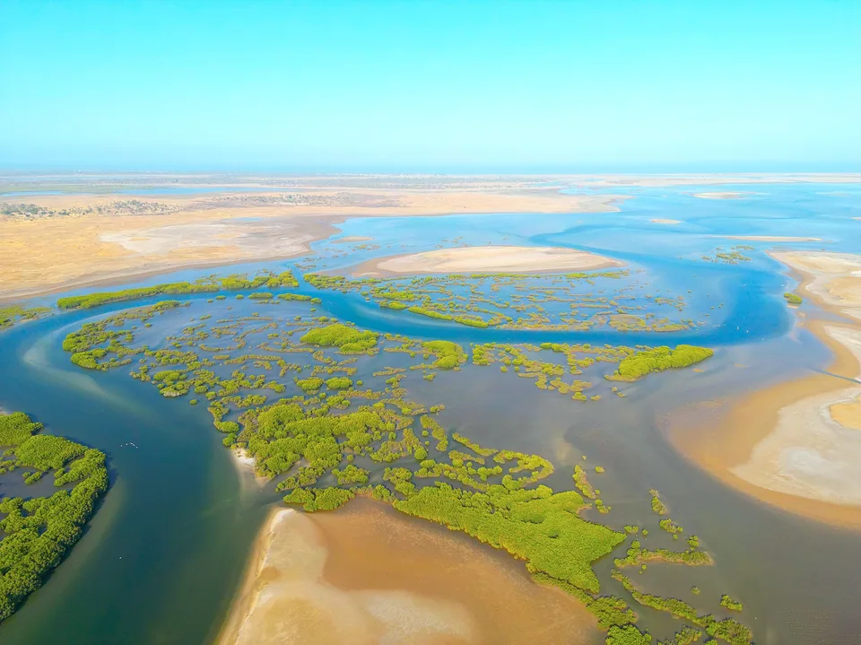
Mangrove channels, shell islands, salt flats and fishing communities form a dense estuarine landscape south of Dakar.
Explore this place
Two long, low coral islands support coconut groves, a small community and bright lagoon water far north of Mauritius.
Explore this place