Northern time layers

Orkney

Low green islands, powerful sea weather and an exceptional concentration of prehistoric sites create a landscape where archaeology remains visibly present.

Neolithic sitesSea cliffsIsland communities

Location
Northern Isles, Scotland
Best window
May-Sep
Suggested stay
3-5 days
Go for
Island archaeology
The reason to go

Heart of Neolithic Orkney

Skara Brae, Maeshowe and the great stone circles place monumental archaeology within an open agricultural landscape.

Plan the least frequent boat, ferry or exposed coastal section first. Use early or late light and keep a weather alternative during May-Sep.

Look a little closer

Worth discovering

The details that make Orkney different.

Destination view
01

Heart of Neolithic Orkney

Skara Brae, Maeshowe and the great stone circles place monumental archaeology within an open agricultural landscape.

Photo journal
02

Hoy and the western cliffs

Higher ground, sea stacks and exposed coast add dramatic vertical scale to the archipelago.

Destination view
03

Living islands

Ferries, farms, towns and small communities keep the ancient landscape connected to contemporary life.

Photo journal

A closer look at Orkney

5 photographs
Beyond the surface

The landscape memory of Orkney

Low green islands, powerful sea weather and an exceptional concentration of prehistoric sites create a landscape where archaeology remains visibly present. This account follows the forces, communities and decisions that made the present landscape.

Orkney is an archipelago of low horizons, fertile fields, exposed coasts and long human continuity. Prehistoric villages, chambered tombs and stone circles are not isolated monuments: they sit within working farmland and near modern settlements. That proximity makes the islands feel less like an archaeological park and more like a living landscape with unusually visible time depth.

The strongest visual shorthand for Orkney is the experience described as “Heart of Neolithic Orkney”. Behind it lies a more complex relationship between physical processes, settlement and the modern idea of the place as a destination. Skara Brae, Maeshowe and the great stone circles place monumental archaeology within an open agricultural landscape.

Continue to practical planning
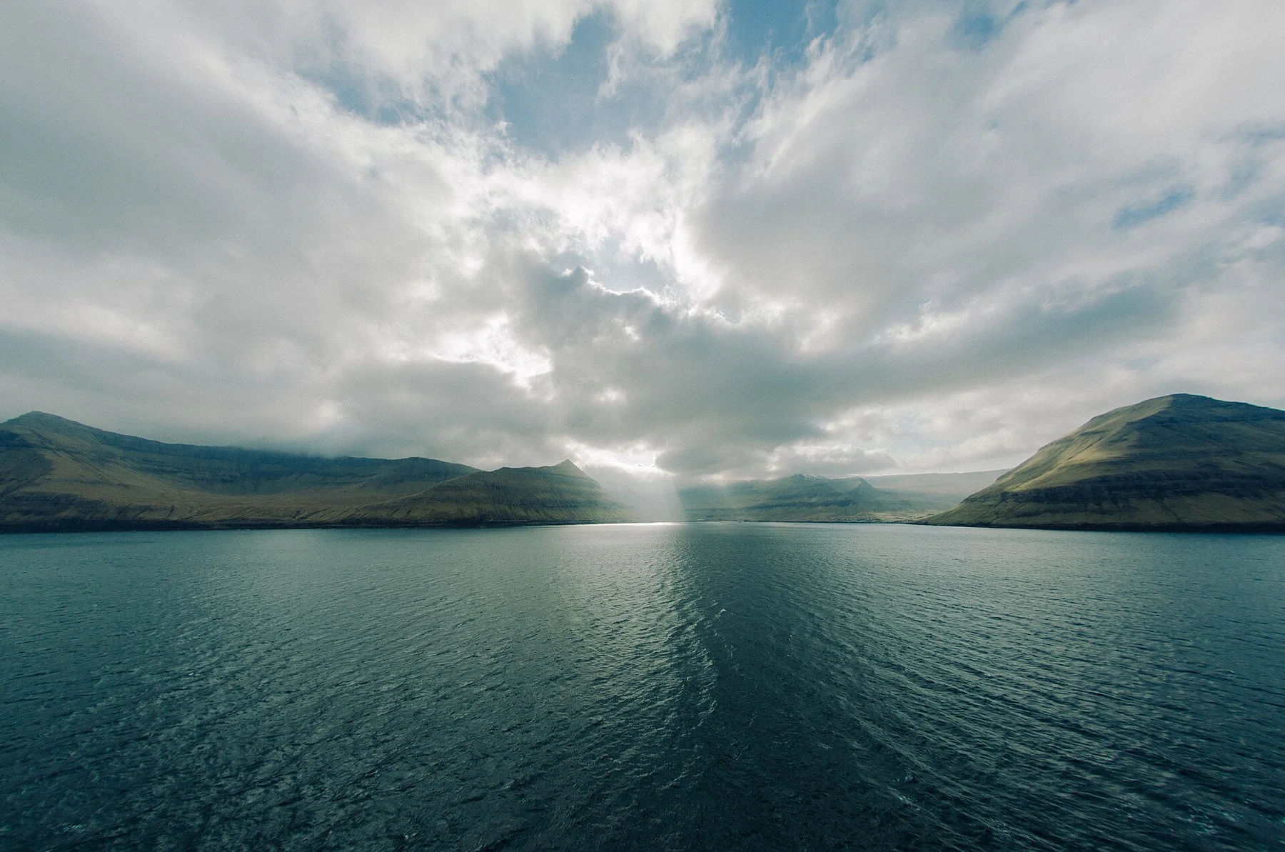
Hoy Island western cliffs seen from the ferry 1See the complete photo journal
Origins

From underlying structure to visible landscape

Before roads, settlements or protected-area boundaries, the terrain of Orkney set the basic terms. The sea defines movement and weather. Sandstone cliffs, sheltered bays, tidal sounds and stacks vary widely between islands, while the low relief allows light and wind to dominate perception. On Hoy the land rises more dramatically, showing that Orkney's familiar green openness is only one part of the archipelago.

Because land is limited, every ridge, bay and passage acquires practical importance. At Orkney, “Heart of Neolithic Orkney” is where that compressed geography becomes easiest to read. Skara Brae, Maeshowe and the great stone circles place monumental archaeology within an open agricultural landscape.

Cultural landscape

Settlement, movement and local knowledge

At Orkney, daily life gives the terrain a historical meaning that a viewpoint alone cannot provide. Kirkwall and Stromness provide urban anchors, but smaller islands reveal distinct community rhythms shaped by ferries, farming, fishing and local services. Norse heritage, craft traditions and contemporary renewable energy projects sit beside the prehistoric record, making the islands culturally layered rather than frozen in one period.

At Orkney, the feature described as “Hoy and the western cliffs” offers a second line of evidence. Higher ground, sea stacks and exposed coast add dramatic vertical scale to the archipelago. Within Orkney, it shows how local knowledge and practical use became embedded in the landscape.

Reorganisation

From local landscape to protected destination

The decisive modern change at Orkney was access. At Orkney, transport and visitor infrastructure made the landscape easier to reach while concentrating pressure at the few points where roads, boats or trails enter it. At Orkney, the consequences are clearest where traditional use, protection and tourism occupy the same ground.

Field notes

Three details that explain the whole place

Look closely at the feature “Heart of Neolithic Orkney” in Orkney; it carries information that a panoramic view can miss. Skara Brae, Maeshowe and the great stone circles place monumental archaeology within an open agricultural landscape. For Orkney, that relationship is more informative than treating the feature only as a photograph or checklist item.

Look closely at the feature “Hoy and the western cliffs” in Orkney; it carries information that a panoramic view can miss. Higher ground, sea stacks and exposed coast add dramatic vertical scale to the archipelago. At Orkney, the detail links local scale with the wider regional pattern.

Look closely at the feature “Living islands” in Orkney; it carries information that a panoramic view can miss. Ferries, farms, towns and small communities keep the ancient landscape connected to contemporary life. At Orkney, it gives a concrete reference point for reading change rather than merely collecting viewpoints.

Continuity

What continues to change

Orkney changes through the year because weather and biological cycles rearrange what can be seen and used. Late spring and summer bring very long daylight, seabird activity and the broadest ferry schedules. Autumn is quieter but more exposed. Winter compresses activity into short days and powerful weather, placing greater emphasis on community life, museums and the changing relationship between land and sea.

For Orkney, the main seasonal constraint is: the strongest planning window is May-Sep. For Orkney, outside it, check weather, daylight, road or ferry schedules and seasonal closures before committing to a fixed route.

For Orkney, one practical detail matters: distances, fuel, food and mobile coverage can be less predictable than the map suggests. For Orkney, carry offline maps and keep a margin in the schedule.

Placed within its wider geography, Orkney is not an isolated exception. Mainland Orkney contains many of the best-known sites, yet Rousay, Hoy, Westray, Sanday and the smaller islands each alter the picture. For Orkney, moving beyond one central circuit reveals different combinations of archaeology, cliffs, beaches, farmland and modern island life.

Travel notes

Plan your visit

Time needed
3-5 days
Getting around
Car or local transport, plus ferries or boats and short walks
Effort
Moderate to demanding
Plan first
Main transport and accommodation
Time of day
Morning for movement; late light for viewpoints
Best window
May-Sep
Traveller stories

Stories from people who have been here.

First-hand moments, practical notes and overlooked details from Orkney.

Loading traveller stories…

Browse all traveller stories ↗

Keep exploring

Where next?

All place stories