Iboih and the northwest coast
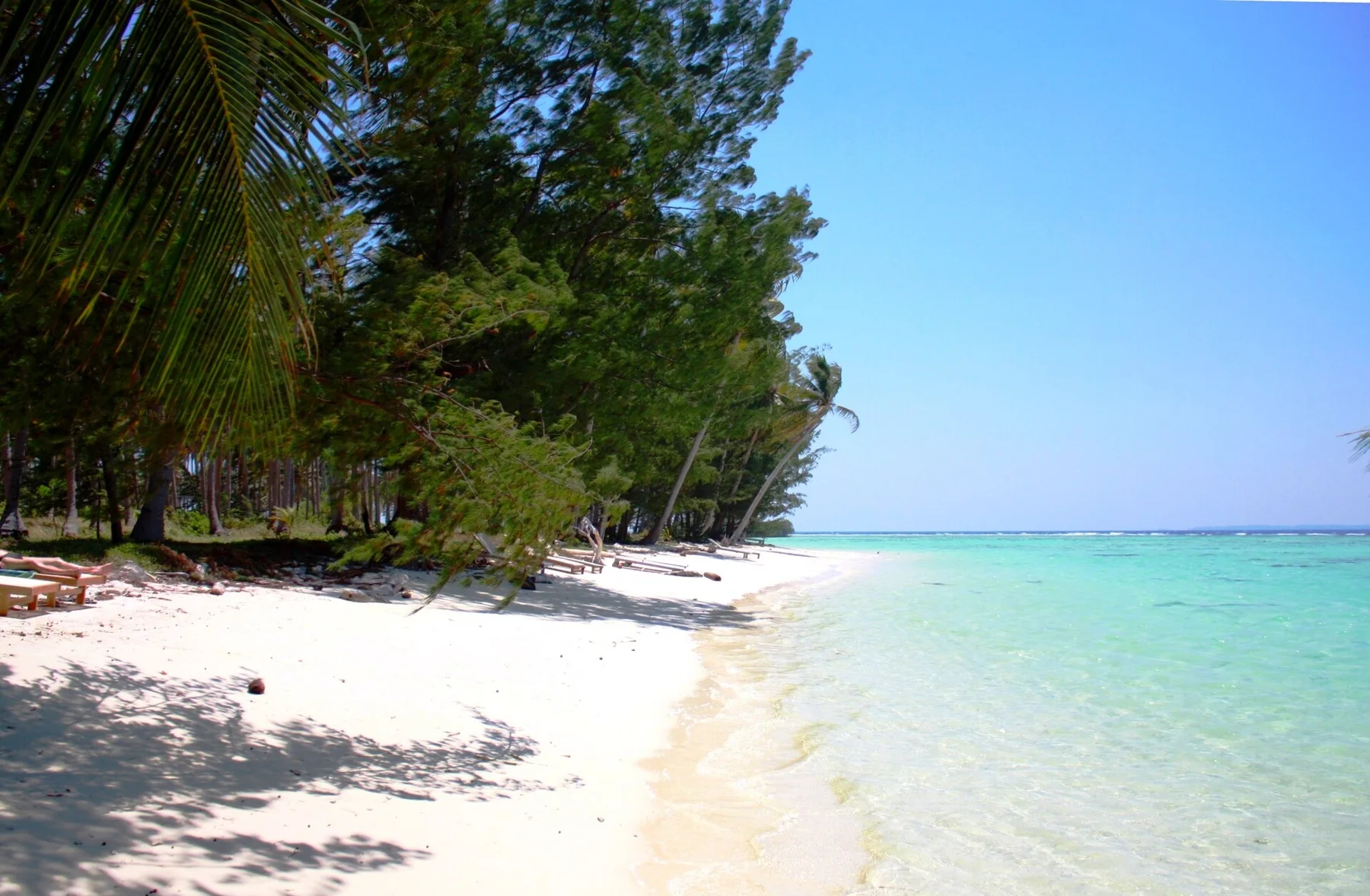
Small bays provide access to clear water and nearby reef sites.
Plan the least frequent boat, ferry or exposed coastal section first. Use early or late light and keep a weather alternative during Nov-Apr.
A volcanic island off northern Sumatra combines reef coastlines, forested hills and small settlements around the port of Sabang.
Small bays provide access to clear water and nearby reef sites.
Plan the least frequent boat, ferry or exposed coastal section first. Use early or late light and keep a weather alternative during Nov-Apr.
The details that make Pulau Weh different.
Small bays provide access to clear water and nearby reef sites.
The port city anchors the island’s transport and everyday services.
The northwestern headland gives physical form to the island’s position at Indonesia’s outer edge.
A volcanic island off northern Sumatra combines reef coastlines, forested hills and small settlements around the port of Sabang. The deeper story links its visible features with the people and changes behind them.
Pulau Weh lies just off the northern tip of Sumatra where the Andaman Sea meets the entrance to the Malacca Strait. The island is compact enough to explore by road, but its steep interior and indented shoreline create a series of distinct coastal pockets.
The strongest visual shorthand for Pulau Weh is the experience described as “Iboih and the northwest coast”. Behind it lies a more complex relationship between physical processes, settlement and the modern idea of the place as a destination. Small bays provide access to clear water and nearby reef sites.
Continue to practical planningUnderstanding Pulau Weh starts below the visible surface. Forested volcanic hills descend toward rocky points, small beaches and clear reef water. Marine topography changes quickly offshore, supporting diving sites with strong currents and a wide range of habitats.
Routes and settlements at Pulau Weh follow the water system even when the map emphasises roads. “Iboih and the northwest coast” exposes that older logic. Small bays provide access to clear water and nearby reef sites.
At Pulau Weh, daily life gives the terrain a historical meaning that a viewpoint alone cannot provide. Sabang provides the island’s main urban centre and port, while smaller villages and fishing areas line the coast. Acehnese culture remains central to daily life, giving the island a different atmosphere from Indonesia’s more resort-oriented destinations.
The role of “Sabang” is especially revealing at Pulau Weh. The port city anchors the island’s transport and everyday services. In the history of Pulau Weh, it connects the wider regional context with a specific place that can still be examined today.
The decisive modern change at Pulau Weh was access. At Pulau Weh, transport and visitor infrastructure made the landscape easier to reach while concentrating pressure at the few points where roads, boats or trails enter it. Pulau Weh should therefore be read as an evolving cultural landscape rather than a timeless scene.
Start with the feature “Iboih and the northwest coast”, because it condenses a much larger part of the story of Pulau Weh. Small bays provide access to clear water and nearby reef sites. At Pulau Weh, it gives a concrete reference point for reading change rather than merely collecting viewpoints.
Start with the feature “Sabang”, because it condenses a much larger part of the story of Pulau Weh. The port city anchors the island’s transport and everyday services. At Pulau Weh, it gives a concrete reference point for reading change rather than merely collecting viewpoints.
Look closely at the feature “Kilometre Zero area” in Pulau Weh; it carries information that a panoramic view can miss. The northwestern headland gives physical form to the island’s position at Indonesia’s outer edge. For Pulau Weh, that relationship is more informative than treating the feature only as a photograph or checklist item.
A single visit to Pulau Weh captures only one phase of its annual cycle. The drier period from November to April generally offers the most stable sea conditions. Seasonal rain and currents can change diving visibility and the practicality of boat trips.
For Pulau Weh, the main seasonal constraint is: the strongest planning window is Nov-Apr. For Pulau Weh, outside it, check weather, daylight, road or ferry schedules and seasonal closures before committing to a fixed route.
For Pulau Weh, one practical detail matters: wind, sea state and tide can matter as much as distance. For Pulau Weh, check conditions before boat trips, exposed cliffs or tidal sections.
Placed within its wider geography, Pulau Weh is not an isolated exception. Pulau Weh connects geographically with Banda Aceh, the northern Sumatran coast and the larger Andaman marine region. For Pulau Weh, its position at a major ocean passage is as important to its identity as its beaches.
A small Java Sea archipelago of coral reefs, mangroves, fishing villages and low forested islands sits north of central Java.
Explore this place
A far-flung archipelago of forested limestone islets, clear channels, reefs and small communities spread across an immense marine landscape.
Explore this place
A dispersed tropical archipelago of coral reefs, forested islands, sea villages and volcanic landscapes in central Sulawesi.
Explore this place