Marine labyrinth

Raja Ampat

A far-flung archipelago of forested limestone islets, clear channels, reefs and small communities spread across an immense marine landscape.

Karst isletsCoral reefsVillage waters

Location
Southwest Papua, Indonesia
Best window
Oct-Apr
Suggested stay
3-5 days
Go for
Marine archipelago
The reason to go

Karst archipelago

Forested limestone islets create narrow channels, enclosed lagoons and highly recognisable seascapes.

Plan the least frequent boat, ferry or exposed coastal section first. Use early or late light and keep a weather alternative during Oct-Apr.

Look a little closer

Worth discovering

The details that make Raja Ampat different.

Destination view
01

Karst archipelago

Forested limestone islets create narrow channels, enclosed lagoons and highly recognisable seascapes.

Destination view
02

Reef diversity

Coral, fish and mangrove ecosystems make the region globally important for marine life.

Photo journal
03

Island communities

Villages and boat routes reveal a lived maritime landscape extending far beyond resort areas.

Photo journal

A closer look at Raja Ampat

13 photographs
Landscape and history

What made Raja Ampat distinctive

A far-flung archipelago of forested limestone islets, clear channels, reefs and small communities spread across an immense marine landscape. The deeper story links its visible features with the people and changes behind them.

Raja Ampat is not one island but a wide archipelago organised by water. Large forested islands, hundreds of limestone islets, mangroves, lagoons and reef channels create a landscape whose scale is difficult to grasp from a single viewpoint. Boats, tides and passages between islands determine how the region is experienced.

The familiar invitation at Raja Ampat is “Karst archipelago”, yet that image makes more sense when it is connected to the landform, the local economy and the changes that determined access. Forested limestone islets create narrow channels, enclosed lagoons and highly recognisable seascapes.

Continue to practical planning
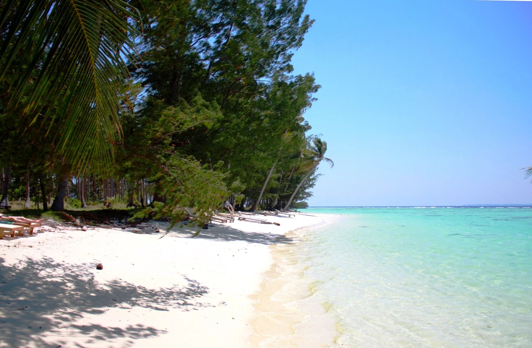
Unnamed Road, Kapisawar, Meos Mansar, Kabupaten Raja Ampat, Papua Bar. 98482, Indonesia - panoramio (15)See the complete photo journal
Natural history

The forces behind the first impression

Before roads, settlements or protected-area boundaries, the terrain of Raja Ampat set the basic terms. The karst formations rise abruptly from warm tropical seas, often enclosing hidden bays and shallow turquoise water. Below the surface, reef systems sit within one of the world's richest marine regions. On land, rainforest, caves and coastal vegetation continue the ecological complexity above the waterline.

Routes and settlements at Raja Ampat follow the water system even when the map emphasises roads. “Karst archipelago” exposes that older logic. Forested limestone islets create narrow channels, enclosed lagoons and highly recognisable seascapes.

Cultural landscape

People, work and memory

At Raja Ampat, human history is written into settlement and land use rather than separated from the scenery. Papuan villages occupy shores and small islands where fishing, gardening and boat travel remain central. Community-based conservation and locally managed tourism have become important in several areas, though the benefits and pressures are unevenly distributed. The inhabited character of the archipelago should remain visible alongside the marine imagery.

The role of “Reef diversity” is especially revealing at Raja Ampat. Coral, fish and mangrove ecosystems make the region globally important for marine life. In the history of Raja Ampat, it connects the wider regional context with a specific place that can still be examined today.

Change

The transition visible today

Formal protection changed how Raja Ampat was described and managed. At Raja Ampat, new boundaries, visitor rules and conservation priorities created a public identity that still has to coexist with settlements, customary use and economic pressures. At Raja Ampat, the result is not a clean break with the past because earlier routes and habits continue to organise the present landscape.

Details to read

The small features that reveal the larger pattern

At Raja Ampat, the feature “Karst archipelago” provides a precise clue to how the landscape works. Forested limestone islets create narrow channels, enclosed lagoons and highly recognisable seascapes. Within Raja Ampat, the feature explains why this destination differs from nearby landscapes.

Start with the feature “Reef diversity”, because it condenses a much larger part of the story of Raja Ampat. Coral, fish and mangrove ecosystems make the region globally important for marine life. Within Raja Ampat, the feature explains why this destination differs from nearby landscapes.

At Raja Ampat, the significance of the feature “Island communities” goes beyond its visual impact. Villages and boat routes reveal a lived maritime landscape extending far beyond resort areas. At Raja Ampat, it gives a concrete reference point for reading change rather than merely collecting viewpoints.

Continuity

A living landscape, not a frozen scene

A single visit to Raja Ampat captures only one phase of its annual cycle. Weather varies across the large region, but calmer seas are generally associated with the northern hemisphere winter months. Rain can occur throughout the year. Tides, currents and wind influence routes more directly than road conditions, reinforcing the archipelago's water-based rhythm.

For Raja Ampat, the main seasonal constraint is: the strongest planning window is Oct-Apr. For Raja Ampat, outside it, check weather, daylight, road or ferry schedules and seasonal closures before committing to a fixed route.

For Raja Ampat, one practical detail matters: ferries, tunnels and weather can change the order of the day. For Raja Ampat, build the route around the least frequent connection, not the closest viewpoint.

Placed within its wider geography, Raja Ampat is not an isolated exception. Raja Ampat forms the western edge of New Guinea's Bird's Head region and connects ecologically with Halmahera, Cenderawasih Bay and the broader Coral Triangle. For Raja Ampat, its significance lies in this vast marine network, not only in the famous clusters of karst islands.
Travel notes

Plan your visit

Time needed
3-5 days
Getting around
Car or local transport, plus ferries or boats and short walks
Effort
Moderate
Plan first
Main transport and accommodation
Time of day
Early morning and late afternoon
Best window
Oct-Apr
Traveller stories

Stories from people who have been here.

First-hand moments, practical notes and overlooked details from Raja Ampat.

Loading traveller stories…

Browse all traveller stories ↗

Keep exploring

Where next?

All place stories