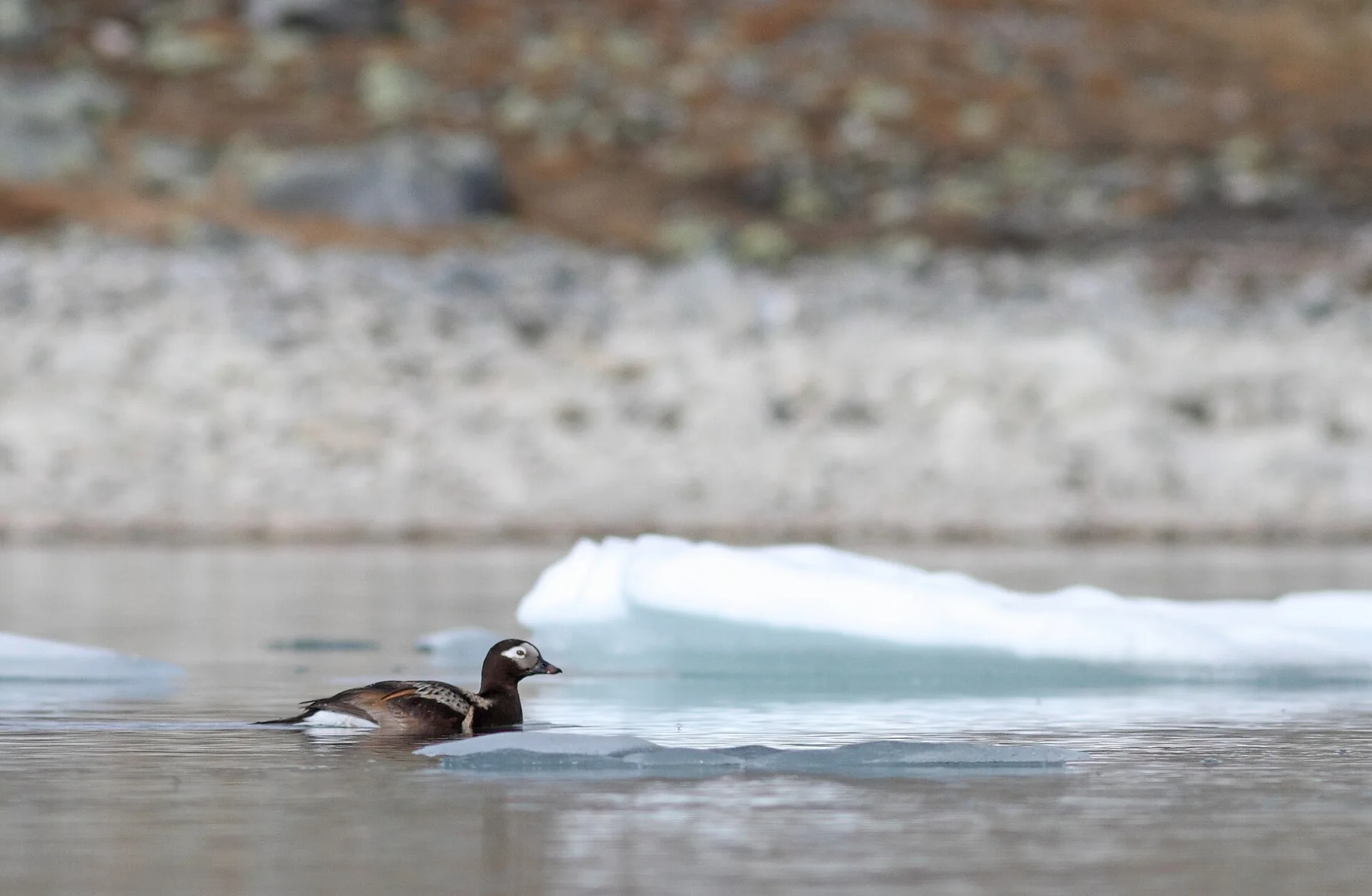
Take a boat beneath the cliffs of Vedoy and Storfjellet
The contrast between low inhabited islets and enormous vertical bird mountains offshore defines the archipelago.
Plan the least frequent boat or flight first, then use the remaining time for the signature route rather than trying to collect every viewpoint.
Look a little closer
Worth discovering
The details that make Rost Islands different.
Destination view
01
Rostlandet
The main island holds fishing villages and flat coastal roads.
Destination view
02
Vedoy cliffs
Seabird colonies occupy high uninhabited islands.
Destination view
03
Stockfish landscape
Drying racks link local economy directly to climate and sea.
Photo journal
A closer look at Rost Islands
6 photographs
01Røst Abandoned Water Tower02Røst Small Quayside03Rost Islands — view 304Røst Lofoten fiskebåt mot Stavøya og Gildeskål05Røst kirke September 201906Mosken og Skjæret Røst Lofoten
Landscape and history
Reading the layers of Rost Islands
A flat fishing archipelago lies far beyond the mountainous core of Lofoten, surrounded by seabird cliffs and open ocean. The view is only the surface of a longer story of formation, use and change.
4 min readLofoten outer islands, Norway
Rost Islands is centred on Lofoten outer islands, where a flat fishing archipelago lies far beyond the mountainous core of Lofoten, surrounded by seabird cliffs and open ocean. The strongest reason to make the journey is to take a boat beneath the cliffs of vedoy and storfjellet.
The strongest visual shorthand for Rost Islands is the experience described as “Take a boat beneath the cliffs of Vedoy and Storfjellet”. Behind it lies a more complex relationship between physical processes, settlement and the modern idea of the place as a destination. The contrast between low inhabited islets and enormous vertical bird mountains offshore defines the archipelago.
On an island, coast, altitude and exposure work together. At Rost Islands, the feature described as “Rostlandet” shows how a short distance can separate sheltered ground from a very different ocean-facing environment. The main island holds fishing villages and flat coastal roads.
Rost Islands is not a uniform area. Changes in elevation, exposure, water and substrate produce distinct environments over short distances, which is why a route through the place often reveals more than a fixed viewpoint.
02
Settlement and memory
Routes, livelihoods and belonging
Rost grew around the seasonal Lofoten cod fishery, where Arctic cod were dried in cold wind to produce stockfish. The low islands offered racks, sheltered channels and a strategic outer position, while fishing households combined boats, sheep and small plots in a landscape almost without trees.
In 1432 Venetian captain Pietro Querini and survivors of his wreck reached Rost and spent months with the islanders. Their return to Italy helped document and promote Norwegian stockfish in Mediterranean markets, turning an emergency encounter into one of the best-known episodes in the trade's history.
03
Change
What altered the old balance
Motorised fleets, harbour engineering and modern processing changed the fishery, but winter cod and open-air drying remain central. Stockfish racks, old trading sites, boathouses and seabird cliffs explain why a remote archipelago became connected to markets thousands of kilometres away.
04
Visible evidence
Where the story becomes visible
Start with the feature “Rostlandet”, because it condenses a much larger part of the story of Rost Islands. The main island holds fishing villages and flat coastal roads. For Rost Islands, that relationship is more informative than treating the feature only as a photograph or checklist item.
At Rost Islands, the feature “Vedoy cliffs” provides a precise clue to how the landscape works. Seabird colonies occupy high uninhabited islands. At Rost Islands, it gives a concrete reference point for reading change rather than merely collecting viewpoints.
At Rost Islands, the feature “Stockfish landscape” is best understood as part of the surrounding system rather than an isolated stop. Drying racks link local economy directly to climate and sea. Its position and condition at Rost Islands connect physical history with the way people use the place now.
05
Season and scale
What continues to change
A single visit to Rost Islands captures only one phase of its annual cycle. For Rost Islands, the most reliable visiting window is May-Aug.
For Rost Islands, the stated visiting window is May-Aug, but its practical meaning depends on local weather, water and transport rather than the calendar alone.
Placed within its wider geography, Rost Islands is not an isolated exception. Beyond the best-known image of Rost Islands feature, Rost Islands matters because vedoy cliffs and stockfish landscape place the destination inside a broader regional story.
Chronology
Key dates
Stockfish economy expands
Seasonal cod were dried for export, linking Lofoten communities to European trade.
Pietro Querini reaches Rost
Shipwreck survivors wintered with islanders and later described the stockfish trade in Venice.
Harbours and fleets transform fishing
New infrastructure increased safety and scale while preserving outdoor drying as a defining practice.
Travel notes
Plan your visit
Time needed
3-5 days
Getting around
Local transport, walking and boat or ferry connections
Effort
Easy to moderate
Plan first
Main flight or ferry, accommodation and weather backup
Time of day
Morning movement; late light for coast
Best window
May-Aug
Traveller stories
Stories from people who have been here.
First-hand moments, practical notes and overlooked details from Rost Islands.