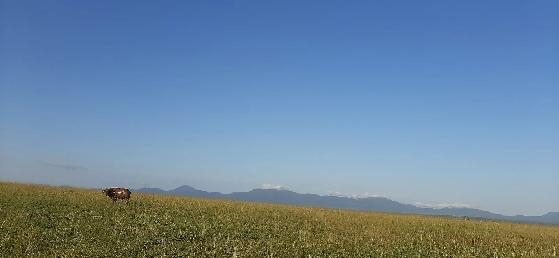
Rwenzori Mountains changes through the year because weather and biological cycles rearrange what can be seen and used. Drier windows commonly occur around December to February and June to August, but high rainfall is possible in any month. Trails can remain wet even during comparatively dry periods. The highest routes require serious preparation, while shorter foothill and forest journeys offer a broader range of access.
For Rwenzori Mountains, the main seasonal constraint is: the strongest planning window is Dec-Feb, Jun-Aug. For Rwenzori Mountains, outside it, check weather, daylight, road or ferry schedules and seasonal closures before committing to a fixed route.
For Rwenzori Mountains, one practical detail matters: cloud, wind and trail conditions can change quickly. For Rwenzori Mountains, put the highest or most exposed stop first and keep a lower-level alternative.
Placed within its wider geography, Rwenzori Mountains is not an isolated exception. For Rwenzori Mountains, the wider context shows that, the Rwenzori belong to the Albertine Rift, a region of lakes, forests and high biodiversity extending across national borders. For Rwenzori Mountains, understanding the mountains means seeing the full vertical transition from cultivated foothills to equatorial ice and rock.