Terraced slopes
Cultivated hills descend almost continuously to the shoreline.
Plan the least frequent boat, ferry or exposed coastal section first. Use early or late light and keep a weather alternative during Jun-Aug, Dec-Feb.
A deeply indented highland lake dotted with islands sits among steep terraced hills in southwestern Uganda.
Cultivated hills descend almost continuously to the shoreline.
Plan the least frequent boat, ferry or exposed coastal section first. Use early or late light and keep a weather alternative during Jun-Aug, Dec-Feb.
The details that make Lake Bunyonyi different.
Cultivated hills descend almost continuously to the shoreline.
Small islands turn local boat travel into part of the lake’s everyday geography.
Elevation gives the area cooler conditions than much of Uganda.
A deeply indented highland lake dotted with islands sits among steep terraced hills in southwestern Uganda. This account follows the forces, communities and decisions that made the present landscape.
Lake Bunyonyi occupies a flooded highland valley near Kabale, with numerous islands scattered between steep cultivated slopes. Its calm surface and cool elevation create a very different landscape from Uganda’s larger lowland lakes.
Many visits to Lake Bunyonyi begin with the experience described as “Terraced slopes”. The more revealing question is why it exists here, how people used the surrounding ground and what remains visible from earlier phases. Cultivated hills descend almost continuously to the shoreline.
Continue to practical planningAt Lake Bunyonyi, the form of the landscape explains many of the choices that came later. Narrow ridges descend directly to the water and are intensively terraced for agriculture. Small islands, peninsulas and coves break the lake into a sequence of intimate views rather than one open basin.
On an island, coast, altitude and exposure work together. At Lake Bunyonyi, the feature described as “Terraced slopes” shows how a short distance can separate sheltered ground from a very different ocean-facing environment. Cultivated hills descend almost continuously to the shoreline.
At Lake Bunyonyi, human history is written into settlement and land use rather than separated from the scenery. Bakiga communities farm the surrounding hills and use boats for local movement across the lake. Guesthouses and small tourism businesses coexist with everyday agricultural and transport activity.
The role of “Island network” is especially revealing at Lake Bunyonyi. Small islands turn local boat travel into part of the lake’s everyday geography. In the history of Lake Bunyonyi, it connects the wider regional context with a specific place that can still be examined today.
The decisive modern change at Lake Bunyonyi was access. At Lake Bunyonyi, transport and visitor infrastructure made the landscape easier to reach while concentrating pressure at the few points where roads, boats or trails enter it. Lake Bunyonyi should therefore be read as an evolving cultural landscape rather than a timeless scene.
At Lake Bunyonyi, the feature “Terraced slopes” is one of the most useful pieces of visible evidence. Cultivated hills descend almost continuously to the shoreline. Its position and condition at Lake Bunyonyi connect physical history with the way people use the place now.
At Lake Bunyonyi, the feature “Island network” is one of the most useful pieces of visible evidence. Small islands turn local boat travel into part of the lake’s everyday geography. Within Lake Bunyonyi, the feature explains why this destination differs from nearby landscapes.
Start with the feature “Highland climate”, because it condenses a much larger part of the story of Lake Bunyonyi. Elevation gives the area cooler conditions than much of Uganda. Within Lake Bunyonyi, the feature explains why this destination differs from nearby landscapes.
A single visit to Lake Bunyonyi captures only one phase of its annual cycle. The drier periods are easiest for walking and boat travel, though the highland climate remains mild throughout the year. Rain often arrives in short intense periods and keeps the slopes unusually green.
For Lake Bunyonyi, the main seasonal constraint is: the strongest planning window is Jun-Aug, Dec-Feb. For Lake Bunyonyi, outside it, check weather, daylight, road or ferry schedules and seasonal closures before committing to a fixed route.
For Lake Bunyonyi, one practical detail matters: ferries, tunnels and weather can change the order of the day. For Lake Bunyonyi, build the route around the least frequent connection, not the closest viewpoint.
Placed within its wider geography, Lake Bunyonyi is not an isolated exception. For Lake Bunyonyi, the wider context shows that, bunyonyi lies close to the Virunga volcanic region and the border with Rwanda. For Lake Bunyonyi, the surrounding Kigezi Highlands extend the terraced landscape well beyond the lake itself.
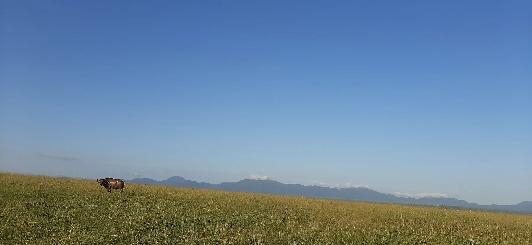
Dry savanna, seasonal rivers and mountain walls create an isolated northeastern Ugandan landscape near South Sudan and Kenya.
Explore this place
An equatorial mountain range of cloud forest, giant plants, bogs and glacier-cut peaks rising above the western branch of the Rift Valley.
Explore this place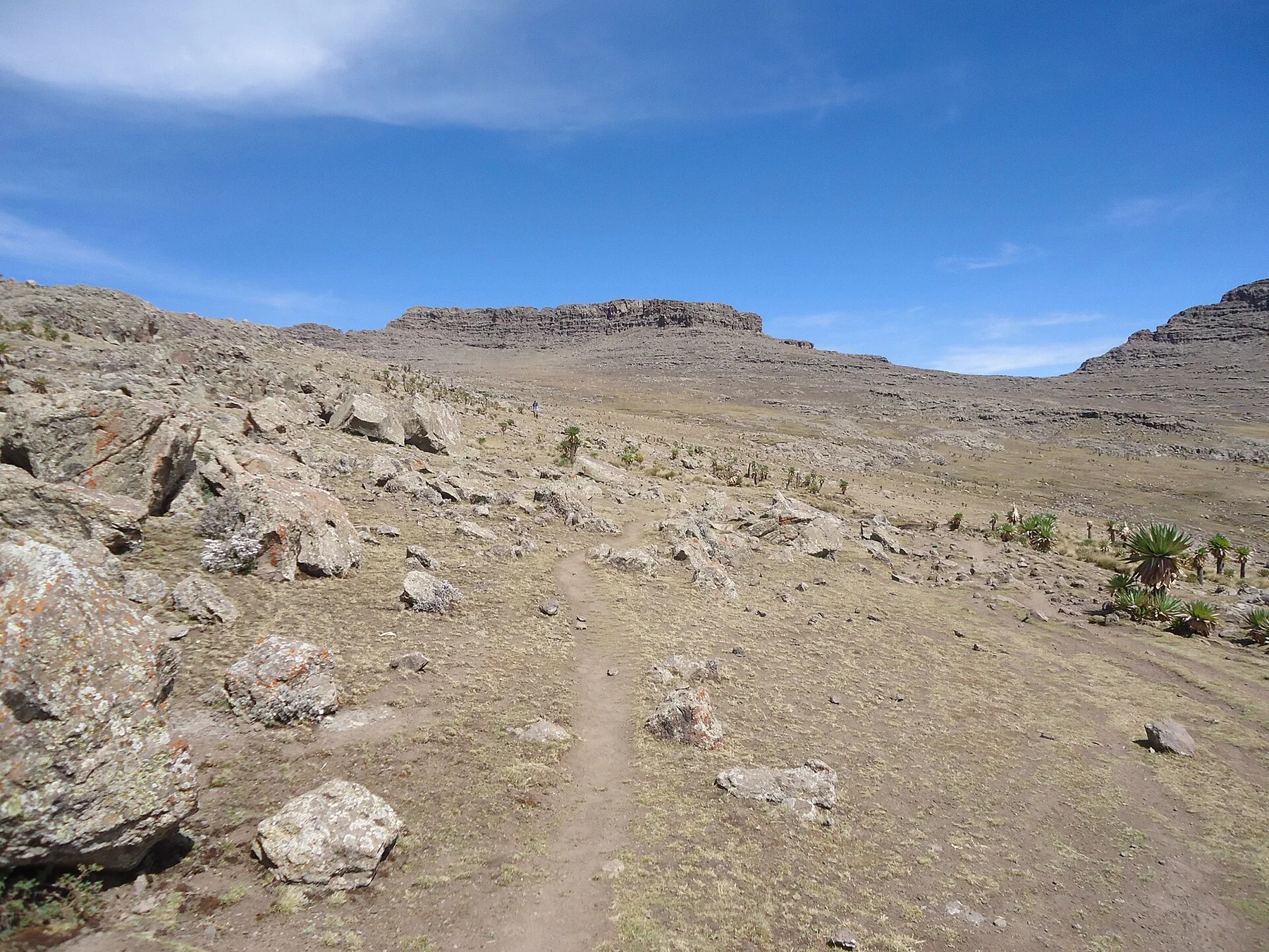
High escarpments, cultivated plateaus and deep valleys form a dramatic inhabited mountain landscape in northern Ethiopia.
Explore this place