Equatorial cocoa island

Sao Tome

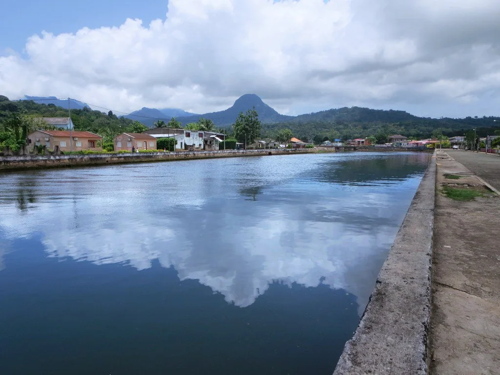
Volcanic peaks, equatorial rainforest, cocoa estates and small coastal settlements form a lush island landscape near the Equator.

Volcanic peaksCocoa rocasEndemic species

Location
Gulf of Guinea, Sao Tome and Principe
Best window
Jun-Sep, Jan-Feb
Suggested stay
3-5 days
Go for
Rainforest island circuit
The reason to go

Pico Cao Grande

A volcanic plug rises abruptly above rainforest and plantation land in the island's south.

Plan the least frequent boat, ferry or exposed coastal section first. Use early or late light and keep a weather alternative during Jun-Sep, Jan-Feb.

Look a little closer

Worth discovering

The details that make Sao Tome different.

Destination view
01

Pico Cao Grande

A volcanic plug rises abruptly above rainforest and plantation land in the island's south.

Destination view
02

Cocoa rocas

Historic estates reveal the architecture, labour history and modern afterlife of plantation society.

Destination view
03

Rainforest coast

Endemic-rich forest descends toward black rock, bays and fishing settlements.

Photo journal

A closer look at Sao Tome

13 photographs
The full story

The landscape memory of Sao Tome

Volcanic peaks, equatorial rainforest, cocoa estates and small coastal settlements form a lush island landscape near the Equator. The view is only the surface of a longer story of formation, use and change.

Sao Tome rises from the Gulf of Guinea as a steep volcanic island covered in forest, plantations and small agricultural landscapes. The sharp spire of Pico Cao Grande has become its visual emblem, but the island's character also lies in humid valleys, black-rock coast, waterfalls and abandoned or active cocoa estates.

Many visits to Sao Tome begin with the experience described as “Pico Cao Grande”. The more revealing question is why it exists here, how people used the surrounding ground and what remains visible from earlier phases. A volcanic plug rises abruptly above rainforest and plantation land in the island's south.

Continue to practical planning
Sao Tome — view 4See the complete photo journal
Physical setting

The physical foundations of the place

At Sao Tome, the physical story begins with the structure of the ground. Rainfall varies greatly between the wet southwest and the drier north. Volcanic relief creates deep valleys and isolated peaks, while dense forest supports many endemic birds and plants. Rivers descend quickly to beaches, mangroves and rocky coves.

The map understates the role of the sea. At Sao Tome, “Pico Cao Grande” makes clear that water is both a boundary and the route through which settlements, wildlife and outside connections developed. A volcanic plug rises abruptly above rainforest and plantation land in the island's south.

Human history

The human landscape behind the scenery

Sao Tome has been shaped as much by livelihoods and movement as by natural processes. Portuguese colonial plantations, known as rocas, shaped settlement and labour across the island. Their architecture survives in different states, from active communities to overgrown complexes. Cocoa, fishing, Creole culture and contemporary conservation now overlap within this inherited landscape.

A close look at “Cocoa rocas” makes the cultural layer of Sao Tome more concrete. Historic estates reveal the architecture, labour history and modern afterlife of plantation society. At Sao Tome, the surviving form links present-day identity with earlier work and settlement.

Reorganisation

The change that redefined the place

Formal protection changed how Sao Tome was described and managed. At Sao Tome, new boundaries, visitor rules and conservation priorities created a public identity that still has to coexist with settlements, customary use and economic pressures. At Sao Tome, that transition remains visible in the contrast between older working features and visitor infrastructure.

Field notes

The small features that reveal the larger pattern

Start with the feature “Pico Cao Grande”, because it condenses a much larger part of the story of Sao Tome. A volcanic plug rises abruptly above rainforest and plantation land in the island's south. For Sao Tome, that relationship is more informative than treating the feature only as a photograph or checklist item.

Start with the feature “Cocoa rocas”, because it condenses a much larger part of the story of Sao Tome. Historic estates reveal the architecture, labour history and modern afterlife of plantation society. Its position and condition at Sao Tome connect physical history with the way people use the place now.

At Sao Tome, the feature “Rainforest coast” is one of the most useful pieces of visible evidence. Endemic-rich forest descends toward black rock, bays and fishing settlements. Its position and condition at Sao Tome connect physical history with the way people use the place now.

Season and scale

The place within its wider region

At Sao Tome, light, water and temperature reveal different structures at different times of year. The drier gravana periods generally provide easier movement, though rain remains possible in the mountains. Wet seasons intensify waterfalls and forest but can affect roads. Equatorial daylight changes little, while altitude creates local differences in temperature and cloud.

For Sao Tome, the main seasonal constraint is: the strongest planning window is Jun-Sep, Jan-Feb. For Sao Tome, outside it, check weather, daylight, road or ferry schedules and seasonal closures before committing to a fixed route.

For Sao Tome, one practical detail matters: cloud, wind and trail conditions can change quickly. For Sao Tome, put the highest or most exposed stop first and keep a lower-level alternative.

Placed within its wider geography, Sao Tome is not an isolated exception. Sao Tome is paired with Principe but each island has a distinct scale and history. For Sao Tome, offshore islets, the Equator near Rolas and the wider Gulf of Guinea volcanic line place the country within an unusual regional geography.
Travel notes

Plan your visit

Time needed
3-5 days
Getting around
Car to access points, then walking or hiking
Effort
Moderate
Plan first
Opening days and any limited-entry sites
Time of day
Start early for clearer conditions and more time
Best window
Jun-Sep, Jan-Feb
Traveller stories

Stories from people who have been here.

First-hand moments, practical notes and overlooked details from Sao Tome.

Loading traveller stories…

Browse all traveller stories ↗

Keep exploring

Where next?

All place stories
