Assekrem
A high plateau and sharp volcanic silhouettes create one of the massif’s defining views.
Start early and make this the first exposed stop of the day. Keep a lower route ready if cloud, heat, wind or trail conditions change during Oct-Mar.
Volcanic peaks and immense desert plains rise around the highland core of the central Sahara.
A high plateau and sharp volcanic silhouettes create one of the massif’s defining views.
Start early and make this the first exposed stop of the day. Keep a lower route ready if cloud, heat, wind or trail conditions change during Oct-Mar.
The details that make Hoggar Mountains different.
A high plateau and sharp volcanic silhouettes create one of the massif’s defining views.
The regional centre anchors routes into the surrounding highlands.
Language, mobility and local knowledge give the mountains a living cultural context.
Volcanic peaks and immense desert plains rise around the highland core of the central Sahara. The view is only the surface of a longer story of formation, use and change.
Hoggar Mountains occupies a mountainous massif around Tamanrasset in southern Algeria. Volcanic peaks and immense desert plains rise around the highland core of the central Sahara. The Hoggar connects Saharan mountain ecology with the trade routes and cultural landscapes extending toward Niger, Mali and Libya.
The familiar invitation at Hoggar Mountains is “Assekrem”, yet that image makes more sense when it is connected to the landform, the local economy and the changes that determined access. A high plateau and sharp volcanic silhouettes create one of the massif’s defining views.
Continue to practical planningThe first layer of Hoggar Mountains is geological and ecological rather than scenic. Dark volcanic plugs, eroded plateaus and dry wadis break the scale of surrounding desert and create strong changes in elevation.
Relief controls far more than the view. At Hoggar Mountains, “Assekrem” reveals how elevation divides vegetation, weather, water and the routes available to people. A high plateau and sharp volcanic silhouettes create one of the massif’s defining views.
The cultural layer of Hoggar Mountains is easiest to read in homes, fields, paths and local institutions. The region is part of Tuareg cultural territory, with routes, camps and place knowledge shaped by long movement across the Sahara.
At Hoggar Mountains, the feature described as “Tamanrasset corridor” offers a second line of evidence. The regional centre anchors routes into the surrounding highlands. Within Hoggar Mountains, it shows how local knowledge and practical use became embedded in the landscape.
Political change left a physical imprint on Hoggar Mountains. At Hoggar Mountains, borders, conflict or population movement altered settlement and access, so the quieter landscape visible today should not be mistaken for one that was always empty. At Hoggar Mountains, the result is not a clean break with the past because earlier routes and habits continue to organise the present landscape.
Look closely at the feature “Assekrem” in Hoggar Mountains; it carries information that a panoramic view can miss. A high plateau and sharp volcanic silhouettes create one of the massif’s defining views. Within Hoggar Mountains, the feature explains why this destination differs from nearby landscapes.
At Hoggar Mountains, the feature “Tamanrasset corridor” provides a precise clue to how the landscape works. The regional centre anchors routes into the surrounding highlands. At Hoggar Mountains, the detail links local scale with the wider regional pattern.
Start with the feature “Tuareg landscape”, because it condenses a much larger part of the story of Hoggar Mountains. Language, mobility and local knowledge give the mountains a living cultural context. Within Hoggar Mountains, the feature explains why this destination differs from nearby landscapes.
At Hoggar Mountains, light, water and temperature reveal different structures at different times of year. Cooler months are essential for practical travel; security, permits and local access conditions must be checked with current official sources.
For Hoggar Mountains, the main seasonal constraint is: the strongest planning window is Oct-Mar. For Hoggar Mountains, outside it, check weather, daylight, road or ferry schedules and seasonal closures before committing to a fixed route.
For Hoggar Mountains, one practical detail matters: distances, fuel, food and mobile coverage can be less predictable than the map suggests. For Hoggar Mountains, carry offline maps and keep a margin in the schedule.
Placed within its wider geography, Hoggar Mountains is not an isolated exception. For Hoggar Mountains, the wider context shows that, the Hoggar connects Saharan mountain ecology with the trade routes and cultural landscapes extending toward Niger, Mali and Libya.
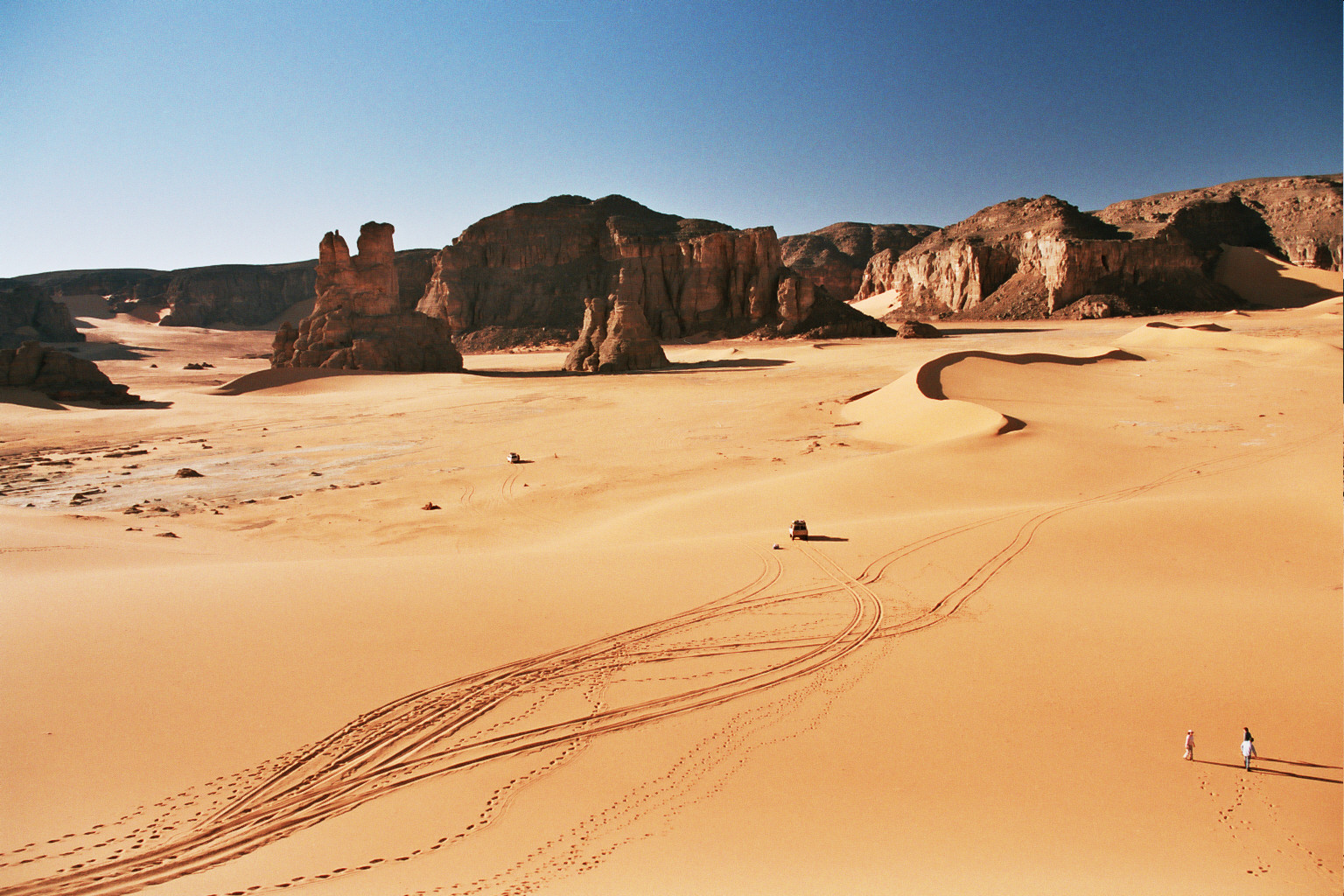
A Saharan labyrinth of red sandstone arches, dune-filled corridors and rock art near Algeria's southeastern frontier.
Explore this place
Sandstone plateaus, rock forests and thousands of prehistoric images preserve both geological and human histories deep in the Sahara.
Explore this place
Volcanic peaks, equatorial rainforest, cocoa estates and small coastal settlements form a lush island landscape near the Equator.
Explore this place