Sary-Chelek Lake
The deep central lake forms the visual and ecological core of the reserve.
Start early and make this the first exposed stop of the day. Keep a lower route ready if cloud, heat, wind or trail conditions change during May-Oct.
A mountain biosphere reserve of deep lakes, walnut-fruit forest, alpine meadows and small settlements in western Kyrgyzstan.
The deep central lake forms the visual and ecological core of the reserve.
Start early and make this the first exposed stop of the day. Keep a lower route ready if cloud, heat, wind or trail conditions change during May-Oct.
The details that make Sary-Chelek different.
The deep central lake forms the visual and ecological core of the reserve.
Diverse woodland links Central Asian agriculture with wild mountain ecosystems.
High grasslands open beyond the forest and reveal the reserve's full elevation range.
A mountain biosphere reserve of deep lakes, walnut-fruit forest, alpine meadows and small settlements in western Kyrgyzstan. Its character becomes clearer when geology, settlement and modern protection are considered together.
Sary-Chelek lies in the western Tien Shan around a chain of mountain lakes surrounded by forest, meadow and steep ridges. The main lake occupies a deep basin, while smaller lakes and valleys create a more intricate protected landscape than a single viewpoint suggests. Nearby communities provide access without dissolving the reserve's sense of enclosure.
Many visits to Sary-Chelek begin with the experience described as “Sary-Chelek Lake”. The more revealing question is why it exists here, how people used the surrounding ground and what remains visible from earlier phases. The deep central lake forms the visual and ecological core of the reserve.
Continue to practical planningAt Sary-Chelek, the physical story begins with the structure of the ground. Forested slopes descend toward clear water, then rise into open alpine grassland and rocky high country. Walnut, fruit and mixed deciduous woodland reflect the biological richness of the western Tien Shan. Seasonal streams and smaller lakes diversify the terrain, and changes in elevation produce striking ecological transitions over short distances.
Forest history at Sary-Chelek is often visible through openings, old routes and changes in species rather than monuments. “Sary-Chelek Lake” is one such point of evidence. The deep central lake forms the visual and ecological core of the reserve.
The cultural layer of Sary-Chelek is easiest to read in homes, fields, paths and local institutions. Villages outside the reserve depend on livestock, orchards and regional trade. Local guides and guesthouses increasingly connect conservation with community income, while grazing and resource use require careful management around protected boundaries. The broader landscape carries Central Asian traditions of seasonal movement between lower settlements and summer pasture.
A close look at “Walnut-fruit forest” makes the cultural layer of Sary-Chelek more concrete. Diverse woodland links Central Asian agriculture with wild mountain ecosystems. At Sary-Chelek, the surviving form links present-day identity with earlier work and settlement.
Formal protection changed how Sary-Chelek was described and managed. At Sary-Chelek, new boundaries, visitor rules and conservation priorities created a public identity that still has to coexist with settlements, customary use and economic pressures. At Sary-Chelek, the consequences are clearest where traditional use, protection and tourism occupy the same ground.
At Sary-Chelek, the feature “Sary-Chelek Lake” is best understood as part of the surrounding system rather than an isolated stop. The deep central lake forms the visual and ecological core of the reserve. Within Sary-Chelek, the feature explains why this destination differs from nearby landscapes.
At Sary-Chelek, the feature “Walnut-fruit forest” is one of the most useful pieces of visible evidence. Diverse woodland links Central Asian agriculture with wild mountain ecosystems. For Sary-Chelek, that relationship is more informative than treating the feature only as a photograph or checklist item.
At Sary-Chelek, the significance of the feature “Upper meadows” goes beyond its visual impact. High grasslands open beyond the forest and reveal the reserve's full elevation range. At Sary-Chelek, it gives a concrete reference point for reading change rather than merely collecting viewpoints.
At Sary-Chelek, light, water and temperature reveal different structures at different times of year. Late spring brings active water, fresh forest and flowering meadows. Summer gives the best access to trails and higher ground, though storms can build quickly in the mountains. Early autumn adds clear air and changing foliage, while winter snow limits movement and returns the basin to a quiet, strongly seasonal state.
For Sary-Chelek, the main seasonal constraint is: the strongest planning window is May-Oct. For Sary-Chelek, outside it, check weather, daylight, road or ferry schedules and seasonal closures before committing to a fixed route.
For Sary-Chelek, one practical detail matters: cloud, wind and trail conditions can change quickly. For Sary-Chelek, put the highest or most exposed stop first and keep a lower-level alternative.
Placed within its wider geography, Sary-Chelek is not an isolated exception. Sary-Chelek belongs to the larger western Tien Shan ecological system extending across Kyrgyzstan, Uzbekistan and Kazakhstan. For Sary-Chelek, connecting it with the Fergana Valley and other mountain reserves reveals how forest, water and seasonal pasture link densely inhabited lowlands with remote upland habitats.
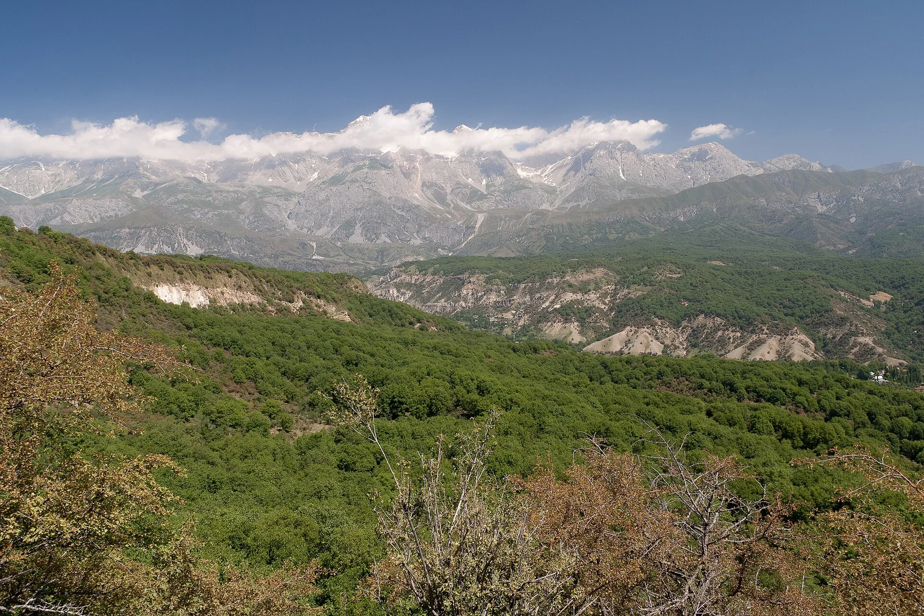
Walnut forest, waterfalls and a large village occupy the foothills of the Fergana Range.
Explore this place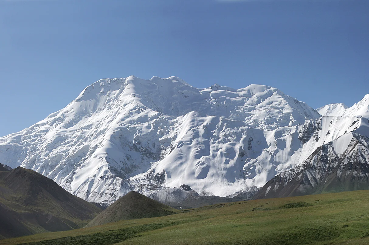
A broad high valley separates the Alay and Trans-Alay ranges, opening long views toward the Pamirs.
Explore this place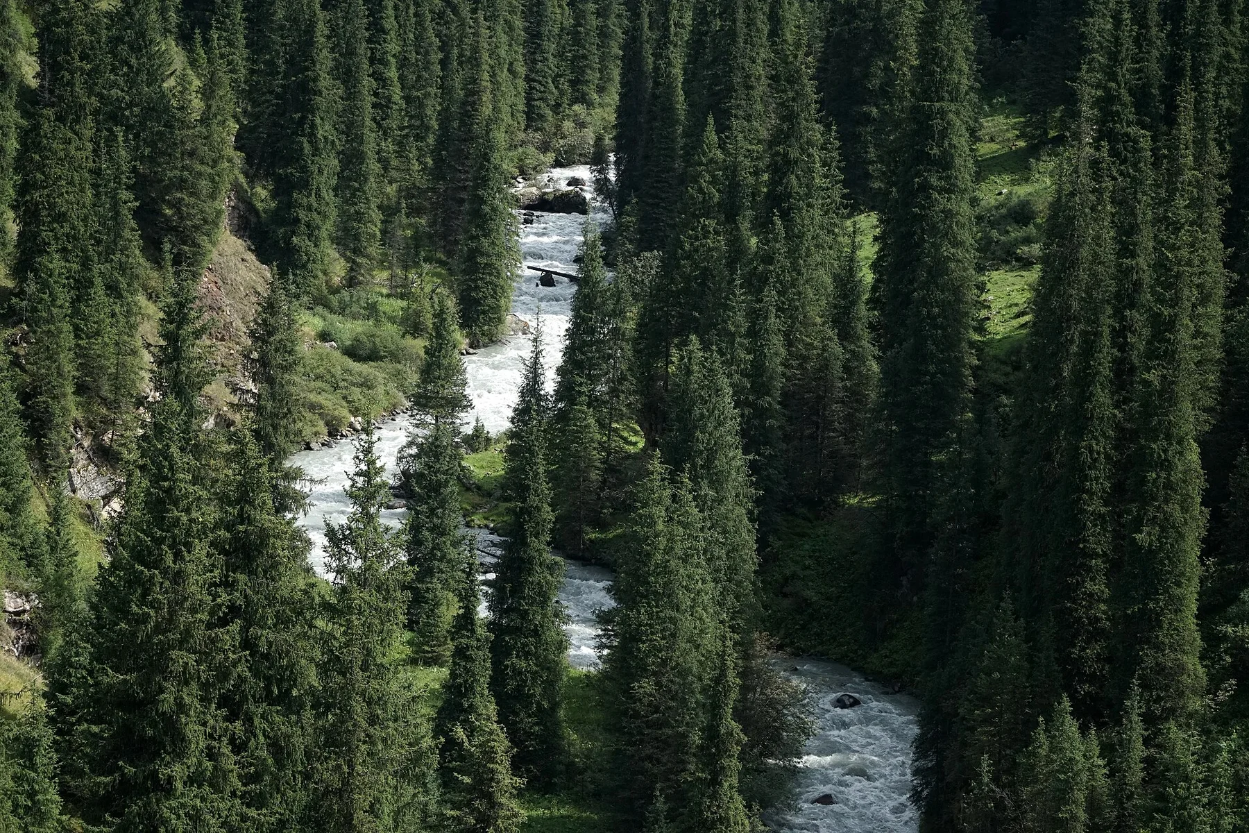
A high forested valley of hot springs, alpine pasture and glacier-fed water lies above the eastern shore of Issyk-Kul.
Explore this place