Arthur River
A major wild river reaches the west coast through forest and low wetland landscapes.
Plan the least frequent boat, ferry or exposed coastal section first. Use early or late light and keep a weather alternative during Nov-Apr.
A large northwest Tasmanian landscape of temperate rainforest, wild rivers, button-grass plains and an exposed coast rich in Aboriginal heritage.
A major wild river reaches the west coast through forest and low wetland landscapes.
Plan the least frequent boat, ferry or exposed coastal section first. Use early or late light and keep a weather alternative during Nov-Apr.
The details that make Tarkine different.
A major wild river reaches the west coast through forest and low wetland landscapes.
Narrow routes and short walks provide access to deep temperate forest across the interior.
Dunes, middens and exposed shorelines preserve long Aboriginal relationships with the coastal environment.
A large northwest Tasmanian landscape of temperate rainforest, wild rivers, button-grass plains and an exposed coast rich in Aboriginal heritage. This account follows the forces, communities and decisions that made the present landscape.
The Tarkine, or takayna, covers a broad area of northwest Tasmania between rainforest, river catchments and the Southern Ocean. It is not a single park with one entrance but a regional landscape crossed by roads, tracks and small settlements. Dense forest, open buttongrass and coastal heath each create a different sense of scale.
Many visits to Tarkine begin with the experience described as “Arthur River”. The more revealing question is why it exists here, how people used the surrounding ground and what remains visible from earlier phases. A major wild river reaches the west coast through forest and low wetland landscapes.
Continue to practical planningThe first layer of Tarkine is geological and ecological rather than scenic. Cool temperate rainforest fills many valleys with myrtle, sassafras and tree ferns. The Arthur and Pieman river systems move through remote forest before reaching the sea. Along the west coast, wind, dunes and rocky headlands replace enclosure with one of Tasmania's most exposed shorelines.
Forest history at Tarkine is often visible through openings, old routes and changes in species rather than monuments. “Arthur River” is one such point of evidence. A major wild river reaches the west coast through forest and low wetland landscapes.
The cultural layer of Tarkine is easiest to read in homes, fields, paths and local institutions. The coastal landscape contains extensive Aboriginal heritage and remains culturally significant. Mining, forestry, fishing and conservation have all shaped contemporary debate and land use. Small towns and historic sites reveal that the region is both ecologically rich and economically contested.
At Tarkine, “Rainforest roads” should not be treated as a decorative detail. Narrow routes and short walks provide access to deep temperate forest across the interior. The feature records how construction, movement or livelihood adapted to local conditions at Tarkine.
Formal protection changed how Tarkine was described and managed. At Tarkine, new boundaries, visitor rules and conservation priorities created a public identity that still has to coexist with settlements, customary use and economic pressures. Tarkine should therefore be read as an evolving cultural landscape rather than a timeless scene.
At Tarkine, the feature “Arthur River” provides a precise clue to how the landscape works. A major wild river reaches the west coast through forest and low wetland landscapes. Within Tarkine, it is both an attraction and a record of the processes described above.
At Tarkine, the significance of the feature “Rainforest roads” goes beyond its visual impact. Narrow routes and short walks provide access to deep temperate forest across the interior. For Tarkine, that relationship is more informative than treating the feature only as a photograph or checklist item.
Start with the feature “West-coast heritage”, because it condenses a much larger part of the story of Tarkine. Dunes, middens and exposed shorelines preserve long Aboriginal relationships with the coastal environment. Within Tarkine, the feature explains why this destination differs from nearby landscapes.
A single visit to Tarkine captures only one phase of its annual cycle. Summer provides longer daylight and the broadest range of road and walking conditions, though rain remains common. Autumn can be calm and atmospheric. Winter is wet, cool and demanding, intensifying rivers and forest while limiting some tracks and coastal access.
For Tarkine, the main seasonal constraint is: the strongest planning window is Nov-Apr. For Tarkine, outside it, check weather, daylight, road or ferry schedules and seasonal closures before committing to a fixed route.
For Tarkine, one practical detail matters: wind, sea state and tide can matter as much as distance. For Tarkine, check conditions before boat trips, exposed cliffs or tidal sections.
Placed within its wider geography, Tarkine is not an isolated exception. A complete Tarkine journey should include both rainforest and coast. For Tarkine, arthur River, Corinna, the Western Explorer road and smaller heritage sites show why the region cannot be represented by a single boardwalk photograph.
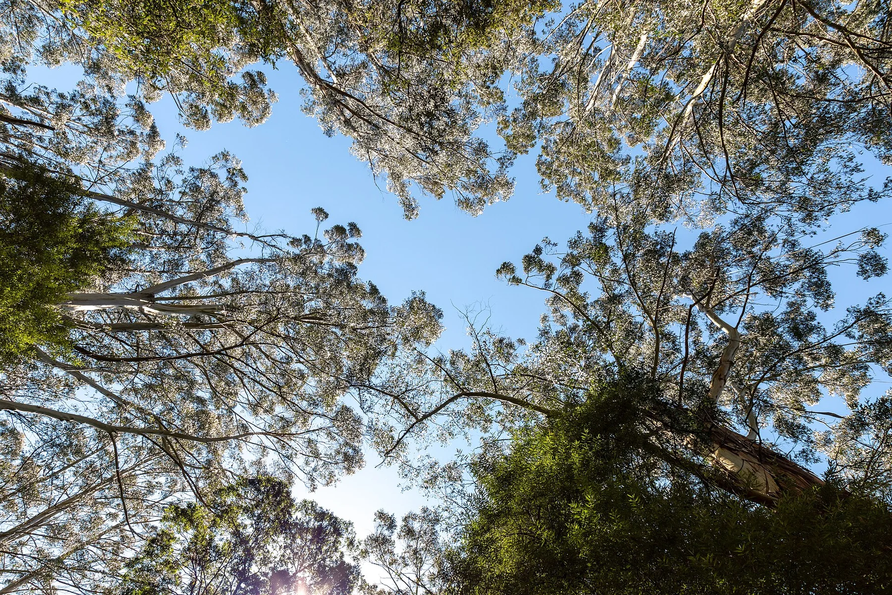
Cool rainforest, waterfalls, fern gullies and a rugged Southern Ocean coast meet along Victoria’s Great Otway range.
Explore this place
Escarpments, wetlands and remote coasts form a vast Aboriginal cultural landscape in northern Australia.
Explore this place
Cool volcanic uplands, rainforest, crater lakes, waterfalls and farming towns rise behind tropical north Queensland coast.
Explore this place