Bouma waterfalls
Forest streams descend through a sequence of accessible pools and falls.
Plan the least frequent boat, ferry or exposed coastal section first. Use early or late light and keep a weather alternative during May-Oct.
Rainforest, waterfalls and coral reefs cover a volcanic island on Fiji’s eastern edge.
Forest streams descend through a sequence of accessible pools and falls.
Plan the least frequent boat, ferry or exposed coastal section first. Use early or late light and keep a weather alternative during May-Oct.
The details that make Taveuni different.
Forest streams descend through a sequence of accessible pools and falls.
Strong currents support exceptionally rich coral ecosystems.
The island’s longitude has become part of its local identity and visitor geography.
Rainforest, waterfalls and coral reefs cover a volcanic island on Fiji’s eastern edge. The view is only the surface of a longer story of formation, use and change.
Taveuni occupies a long volcanic island across the Somosomo Strait from Vanua Levu. Rainforest, waterfalls and coral reefs cover a volcanic island on Fiji’s eastern edge. Taveuni connects Fiji’s high-island rainforest with the rich Somosomo Strait and the more remote Lau group to the east.
The strongest visual shorthand for Taveuni is the experience described as “Bouma waterfalls”. Behind it lies a more complex relationship between physical processes, settlement and the modern idea of the place as a destination. Forest streams descend through a sequence of accessible pools and falls.
Continue to practical planningThe first layer of Taveuni is geological and ecological rather than scenic. A high central ridge captures heavy rain, feeding forest streams and waterfalls that descend toward narrow coastal plains.
The visible shoreline or channel at Taveuni is only one stage in a larger cycle. “Bouma waterfalls” demonstrates how flow, season and terrain interact. Forest streams descend through a sequence of accessible pools and falls.
At Taveuni, people learned to work with the landscape limits rather than arriving after its story was complete. Villages, farms and marine protected areas reflect a close relationship between upland forest, reef and local community management.
At Taveuni, “Somosomo Strait” should not be treated as a decorative detail. Strong currents support exceptionally rich coral ecosystems. The feature records how construction, movement or livelihood adapted to local conditions at Taveuni.
Formal protection changed how Taveuni was described and managed. At Taveuni, new boundaries, visitor rules and conservation priorities created a public identity that still has to coexist with settlements, customary use and economic pressures. At Taveuni, the result is not a clean break with the past because earlier routes and habits continue to organise the present landscape.
Look closely at the feature “Bouma waterfalls” in Taveuni; it carries information that a panoramic view can miss. Forest streams descend through a sequence of accessible pools and falls. At Taveuni, the detail links local scale with the wider regional pattern.
At Taveuni, the feature “Somosomo Strait” provides a precise clue to how the landscape works. Strong currents support exceptionally rich coral ecosystems. At Taveuni, it gives a concrete reference point for reading change rather than merely collecting viewpoints.
Start with the feature “International Date Line area”, because it condenses a much larger part of the story of Taveuni. The island’s longitude has become part of its local identity and visitor geography. Within Taveuni, the feature explains why this destination differs from nearby landscapes.
A single visit to Taveuni captures only one phase of its annual cycle. The drier months are generally more comfortable, although the island remains humid and rain is possible throughout the year.
For Taveuni, the main seasonal constraint is: the strongest planning window is May-Oct. For Taveuni, outside it, check weather, daylight, road or ferry schedules and seasonal closures before committing to a fixed route.
For Taveuni, one practical detail matters: distances, fuel, food and mobile coverage can be less predictable than the map suggests. For Taveuni, carry offline maps and keep a margin in the schedule.
Placed within its wider geography, Taveuni is not an isolated exception. Taveuni connects Fiji’s high-island rainforest with the rich Somosomo Strait and the more remote Lau group to the east.

A mountainous Fijian island of rainforest, village bays and extensive reef, with limited roads and much movement still organised by boat.
Explore this place
A small uninhabited island combines volcanic ridges, reef water and a compact forest interior.
Explore this place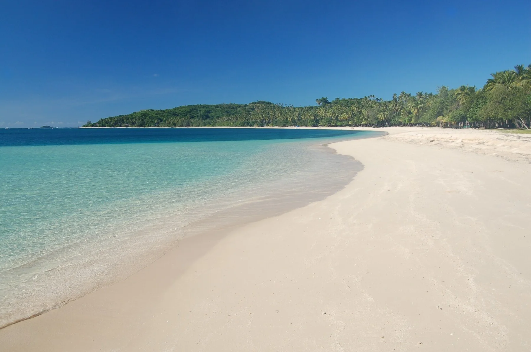
A chain of dry volcanic islands combines long beaches, clear lagoons and village communities northwest of Viti Levu.
Explore this place