Lake Waikaremoana
A large forest-ringed lake anchors the region’s walking and cultural geography.
Plan the least frequent boat, ferry or exposed coastal section first. Use early or late light and keep a weather alternative during Nov-Apr.
Dense forest, remote lakes and Tuhoe cultural authority define a large inland landscape in New Zealand’s North Island.
A large forest-ringed lake anchors the region’s walking and cultural geography.
Plan the least frequent boat, ferry or exposed coastal section first. Use early or late light and keep a weather alternative during Nov-Apr.
The details that make Te Urewera different.
A large forest-ringed lake anchors the region’s walking and cultural geography.
Governance and community values are central rather than supplementary to the landscape.
Limited access reinforces the scale and interior character of Te Urewera.
Dense forest, remote lakes and Tuhoe cultural authority define a large inland landscape in New Zealand’s North Island. Its character becomes clearer when geology, settlement and modern protection are considered together.
Te Urewera occupies a mountainous forest region between the Bay of Plenty and Hawke’s Bay. Dense forest, remote lakes and Tuhoe cultural authority define a large inland landscape in New Zealand’s North Island. The region links eastern North Island forests with Tuhoe communities and provides a distinct model of landscape governance beyond a conventional national park.
The familiar invitation at Te Urewera is “Lake Waikaremoana”, yet that image makes more sense when it is connected to the landform, the local economy and the changes that determined access. A large forest-ringed lake anchors the region’s walking and cultural geography.
Continue to practical planningAt Te Urewera, the physical story begins with the structure of the ground. Steep forested ridges, river valleys and Lake Waikaremoana create a deeply enclosed interior with limited roads.
Routes and settlements at Te Urewera follow the water system even when the map emphasises roads. “Lake Waikaremoana” exposes that older logic. A large forest-ringed lake anchors the region’s walking and cultural geography.
Te Urewera has been shaped as much by livelihoods and movement as by natural processes. Te Urewera is recognised in law as a legal entity and is governed through a relationship centred on Tuhoe values and responsibilities.
The role of “Tuhoe relationship with land” is especially revealing at Te Urewera. Governance and community values are central rather than supplementary to the landscape. In the history of Te Urewera, it connects the wider regional context with a specific place that can still be examined today.
Formal protection changed how Te Urewera was described and managed. At Te Urewera, new boundaries, visitor rules and conservation priorities created a public identity that still has to coexist with settlements, customary use and economic pressures. At Te Urewera, the consequences are clearest where traditional use, protection and tourism occupy the same ground.
Start with the feature “Lake Waikaremoana”, because it condenses a much larger part of the story of Te Urewera. A large forest-ringed lake anchors the region’s walking and cultural geography. For Te Urewera, that relationship is more informative than treating the feature only as a photograph or checklist item.
Look closely at the feature “Tuhoe relationship with land” in Te Urewera; it carries information that a panoramic view can miss. Governance and community values are central rather than supplementary to the landscape. For Te Urewera, that relationship is more informative than treating the feature only as a photograph or checklist item.
At Te Urewera, the feature “Remote forest roads” provides a precise clue to how the landscape works. Limited access reinforces the scale and interior character of Te Urewera. At Te Urewera, it gives a concrete reference point for reading change rather than merely collecting viewpoints.
At Te Urewera, light, water and temperature reveal different structures at different times of year. Late spring through early autumn is generally most practical; rainfall, track conditions and road access can change quickly.
For Te Urewera, the main seasonal constraint is: the strongest planning window is Nov-Apr. For Te Urewera, outside it, check weather, daylight, road or ferry schedules and seasonal closures before committing to a fixed route.
For Te Urewera, one practical detail matters: distances, fuel, food and mobile coverage can be less predictable than the map suggests. For Te Urewera, carry offline maps and keep a margin in the schedule.
Placed within its wider geography, Te Urewera is not an isolated exception. For Te Urewera, the wider context shows that, the region links eastern North Island forests with Tuhoe communities and provides a distinct model of landscape governance beyond a conventional national park.

Forested ridges, hot springs, surf beaches and off-grid communities occupy the outer edge of New Zealand's Hauraki Gulf.
Explore this place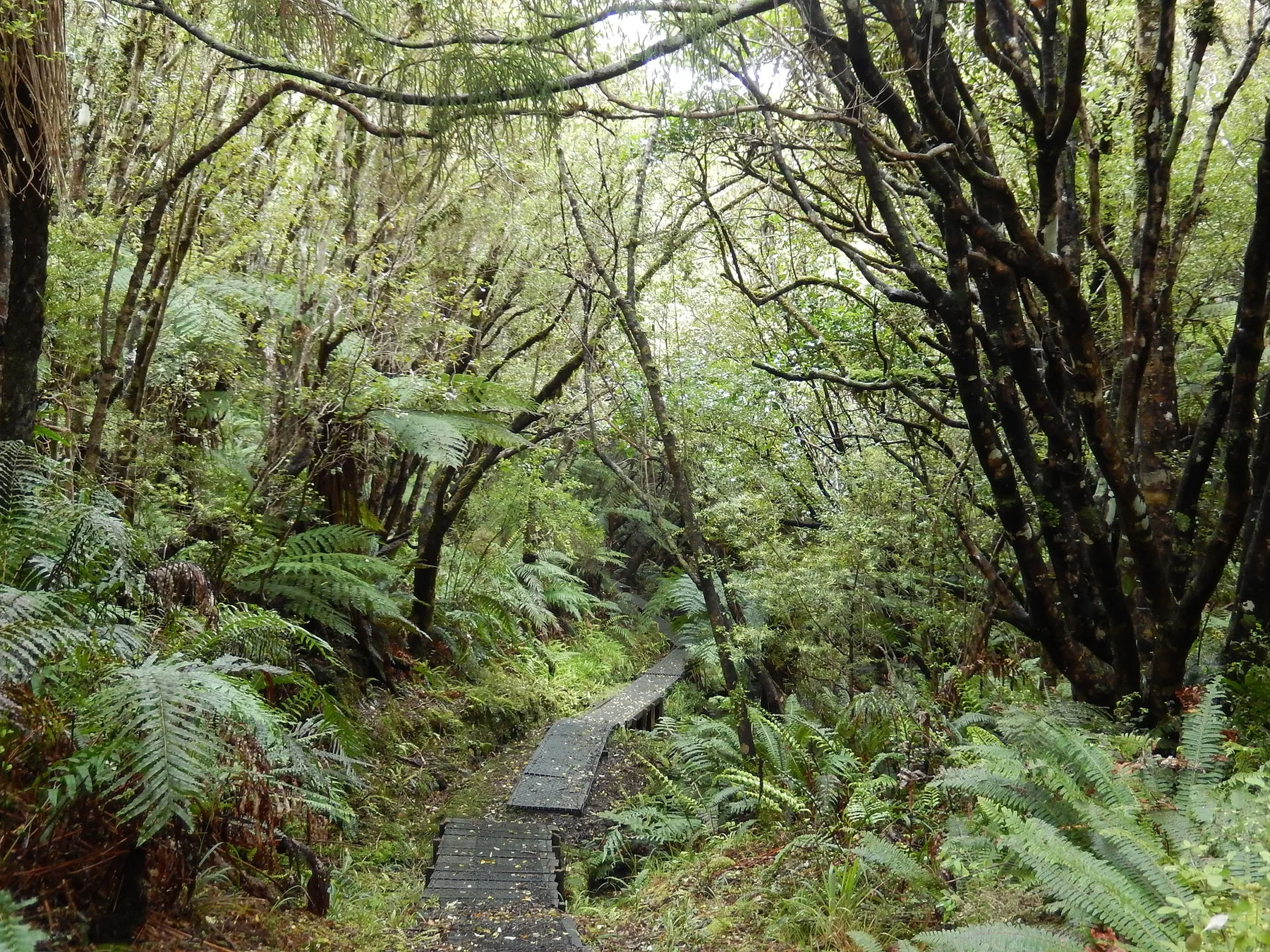
Dense native forest, long inlets, quiet beaches and a small southern community define New Zealand's third-largest island.
Explore this place
A high road and rail crossing links wet western forest with drier eastern valleys through the heart of New Zealand’s Southern Alps.
Explore this place