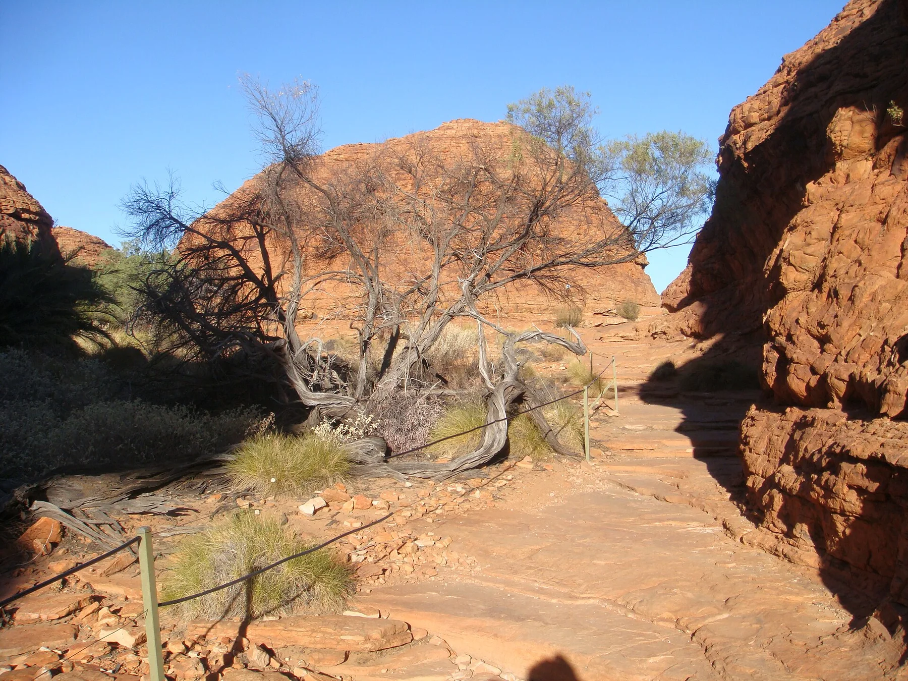
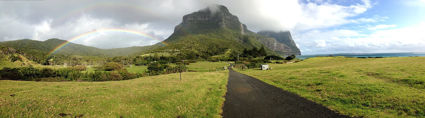
The route combines engineered viewpoints and wild cliff edges, culminating at Cape Pillar above sea stacks and the Southern Ocean.
Use the hut itinerary to leave time for the side routes; the viewpoints are strongest when they are not rushed between check-ins.
Look a little closer
Worth discovering
The details that make Three Capes Track different.
Photo journal
01
Cape Pillar
The high dolerite headland overlooks Tasman Island and vertical sea cliffs.
Destination view
02
The Blade
A narrow rocky spur creates one of the track’s most exposed viewpoints.
Photo journal
03
Cape Hauy
The final section looks over the Totem Pole and Candlestick sea stacks.
Photo journal
A closer look at Three Capes Track
10 photographs
01Tasmania Tasman National Park 202Tasmania Tasman National Park 903Three Capes Track — view 304Tasmania Tasman National Park 1005Fortesque Bay Sunrise 206Fortesque Bay Sunrise07Cape Pillar and lighthouse08Hakea decurrens Cape Hauy09Tasmania Tasman National Park 110Tasmania Tasman National Park 3
Deep background
The landscape memory of Three Capes Track
A multi-day coastal walk links high dolerite cliffs, forest and designed huts on the Tasman Peninsula. The view is only the surface of a longer story of formation, use and change.
4 min readTasman Peninsula, Tasmania, Australia
Three Capes Track is centred on Tasman Peninsula, Tasmania, where a multi-day coastal walk links high dolerite cliffs, forest and designed huts on the Tasman Peninsula. The strongest reason to make the journey is to walk the blade-like Cape Pillar cliffs.
The strongest visual shorthand for Three Capes Track is the experience described as “Walk the blade-like Cape Pillar cliffs”. Behind it lies a more complex relationship between physical processes, settlement and the modern idea of the place as a destination. The route combines engineered viewpoints and wild cliff edges, culminating at Cape Pillar above sea stacks and the Southern Ocean.
The first layer of Three Capes Track is geological and ecological rather than scenic. Changes in height, rock, water and exposure make the sequence important: the approach, the most engineered or natural passage and the final overlook each reveal a different part of Tasman Peninsula, Tasmania.
The path is inseparable from the terrain it crosses. At Three Capes Track, “Cape Pillar” turns engineering or trail logic into something visible underfoot. The high dolerite headland overlooks Tasman Island and vertical sea cliffs.
02
Human history
Routes, livelihoods and belonging
The Tasman Peninsula carries Palawa history, nineteenth-century convict sites and a long record of maritime navigation. Cape Pillar and Cape Raoul were landmarks for ships, while nearby Port Arthur became one of Britain's best-known penal settlements.
The current Three Capes Track is a purpose-built multi-day route opened in 2015, with new huts, boardwalks and interpretation designed to concentrate use. It links a modern tourism product to coastlines already marked by Indigenous dispossession, convict labour and lighthouse history.
03
Turning point
The transition visible today
The track shifted visitation from short roadside stops toward a managed overnight experience, using high fees and fixed accommodation to fund infrastructure while raising debate about access and commercialisation in public land.
04
Field notes
Landmarks that carry the deeper story
At Three Capes Track, the feature “Cape Pillar” is one of the most useful pieces of visible evidence. The high dolerite headland overlooks Tasman Island and vertical sea cliffs. At Three Capes Track, the detail links local scale with the wider regional pattern.
Start with the feature “The Blade”, because it condenses a much larger part of the story of Three Capes Track. A narrow rocky spur creates one of the track’s most exposed viewpoints. Within Three Capes Track, it is both an attraction and a record of the processes described above.
At Three Capes Track, the feature “Cape Hauy” is best understood as part of the surrounding system rather than an isolated stop. The final section looks over the Totem Pole and Candlestick sea stacks. Within Three Capes Track, the feature explains why this destination differs from nearby landscapes.
05
Living landscape
The current chapter
A single visit to Three Capes Track captures only one phase of its annual cycle. For Three Capes Track, the most reliable visiting window is Oct-Apr.
For Three Capes Track, one practical detail matters: the official experience is booked and capacity-controlled. For Three Capes Track, coastal weather can remain severe in summer.
For Three Capes Track, the most useful visiting period is: morning departures from huts.
Placed within its wider geography, Three Capes Track is not an isolated exception. Beyond the best-known image of Three Capes Track crossing, Three Capes Track is useful because the blade and cape hauy place the route inside a broader landscape story.
Chronology
Key dates
Palawa country
Aboriginal communities lived with and travelled through the peninsula's coast and interior.
Convict landscape
Port Arthur and associated stations transformed the peninsula through incarceration and forced labour.
Three Capes Track opens
A new hut-based route created a controlled multi-day circuit along the cliffs.
Travel notes
Plan your visit
Time needed
4 days
Getting around
Booked track itinerary with boat start
Effort
Moderate; long daily walks
Plan first
Track booking, transport and weather
Time of day
Morning departures from huts
Best window
Oct-Apr
Traveller stories
Stories from people who have been here.
First-hand moments, practical notes and overlooked details from Three Capes Track.