Saglek Fjord
Steep walls and branching valleys show the scale of glacial erosion.
Plan the least frequent boat, ferry or exposed coastal section first. Use early or late light and keep a weather alternative during Jul-Sep.
Arctic mountains, deep fjords and Inuit cultural landscapes rise along the remote northern Labrador coast.
Steep walls and branching valleys show the scale of glacial erosion.
Plan the least frequent boat, ferry or exposed coastal section first. Use early or late light and keep a weather alternative during Jul-Sep.
The details that make Torngat Mountains different.
Steep walls and branching valleys show the scale of glacial erosion.
Archaeological sites and contemporary knowledge give the park its human framework.
Polar bears, caribou and marine life require careful guided travel.
Arctic mountains, deep fjords and Inuit cultural landscapes rise along the remote northern Labrador coast. The deeper story links its visible features with the people and changes behind them.
Torngat Mountains occupies the mountainous northern tip of Labrador. Arctic mountains, deep fjords and Inuit cultural landscapes rise along the remote northern Labrador coast. Torngat connects the Labrador Sea, Ungava Bay and the broader Inuit region extending across northern Canada and Greenland.
Many visits to Torngat Mountains begin with the experience described as “Saglek Fjord”. The more revealing question is why it exists here, how people used the surrounding ground and what remains visible from earlier phases. Steep walls and branching valleys show the scale of glacial erosion.
Continue to practical planningUnderstanding Torngat Mountains starts below the visible surface. Glacial valleys and fjords cut through ancient rock, with tundra, snowfields and open sea meeting across a narrow coastal zone.
The visible shoreline or channel at Torngat Mountains is only one stage in a larger cycle. “Saglek Fjord” demonstrates how flow, season and terrain interact. Steep walls and branching valleys show the scale of glacial erosion.
The cultural layer of Torngat Mountains is easiest to read in homes, fields, paths and local institutions. The park lies within Inuit homelands, and visits are shaped by local guides, cultural knowledge and active relationships with the land and wildlife.
At Torngat Mountains, “Inuit cultural landscape” should not be treated as a decorative detail. Archaeological sites and contemporary knowledge give the park its human framework. The feature records how construction, movement or livelihood adapted to local conditions at Torngat Mountains.
The decisive modern change at Torngat Mountains was access. At Torngat Mountains, transport and visitor infrastructure made the landscape easier to reach while concentrating pressure at the few points where roads, boats or trails enter it. At Torngat Mountains, the result is not a clean break with the past because earlier routes and habits continue to organise the present landscape.
At Torngat Mountains, the feature “Saglek Fjord” is best understood as part of the surrounding system rather than an isolated stop. Steep walls and branching valleys show the scale of glacial erosion. Within Torngat Mountains, the feature explains why this destination differs from nearby landscapes.
Look closely at the feature “Inuit cultural landscape” in Torngat Mountains; it carries information that a panoramic view can miss. Archaeological sites and contemporary knowledge give the park its human framework. At Torngat Mountains, it gives a concrete reference point for reading change rather than merely collecting viewpoints.
At Torngat Mountains, the significance of the feature “Arctic wildlife country” goes beyond its visual impact. Polar bears, caribou and marine life require careful guided travel. At Torngat Mountains, it gives a concrete reference point for reading change rather than merely collecting viewpoints.
At Torngat Mountains, season is part of the landscape history, not merely a planning detail. The operating season is short; weather, sea ice, wildlife safety and charter logistics require specialist planning.
For Torngat Mountains, the main seasonal constraint is: the strongest planning window is Jul-Sep. For Torngat Mountains, outside it, check weather, daylight, road or ferry schedules and seasonal closures before committing to a fixed route.
For Torngat Mountains, one practical detail matters: distances, fuel, food and mobile coverage can be less predictable than the map suggests. For Torngat Mountains, carry offline maps and keep a margin in the schedule.
Placed within its wider geography, Torngat Mountains is not an isolated exception. For Torngat Mountains, the wider context shows that, torngat connects the Labrador Sea, Ungava Bay and the broader Inuit region extending across northern Canada and Greenland.
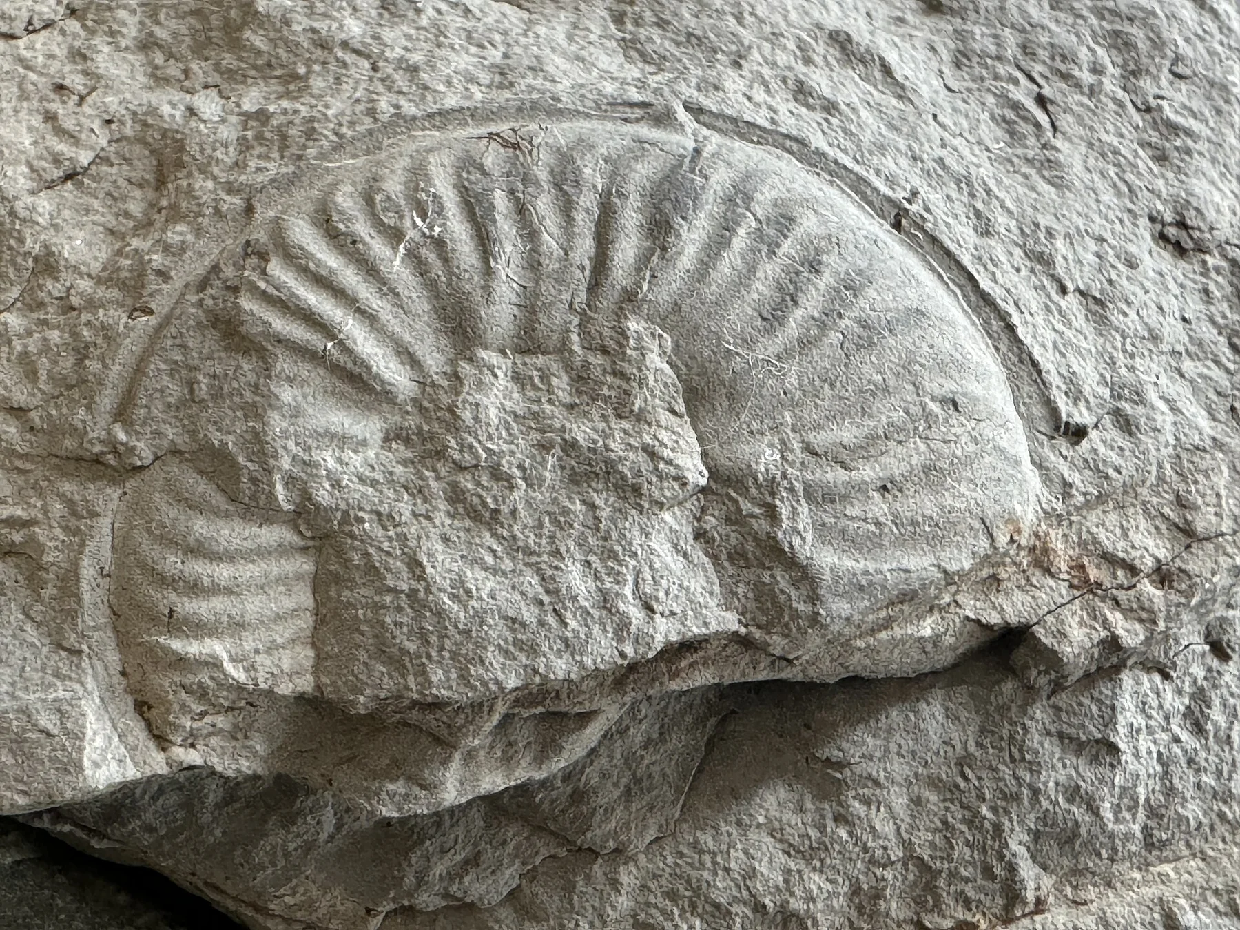
Limestone canyons, waterfalls and a long shipwreck coast define a large island in the Gulf of St Lawrence.
Explore this place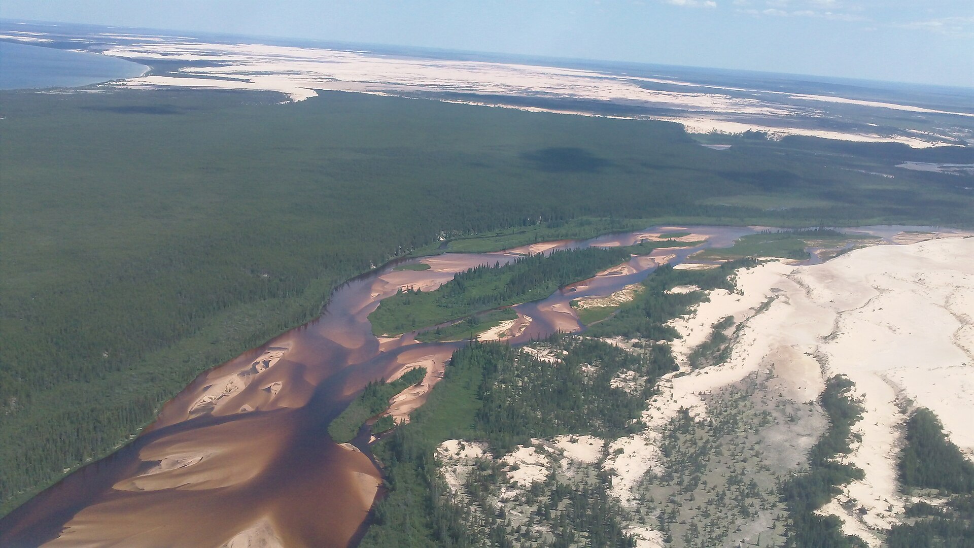
Canada's largest active dune field runs along the south shore of Lake Athabasca and supports rare endemic plants.
Explore this place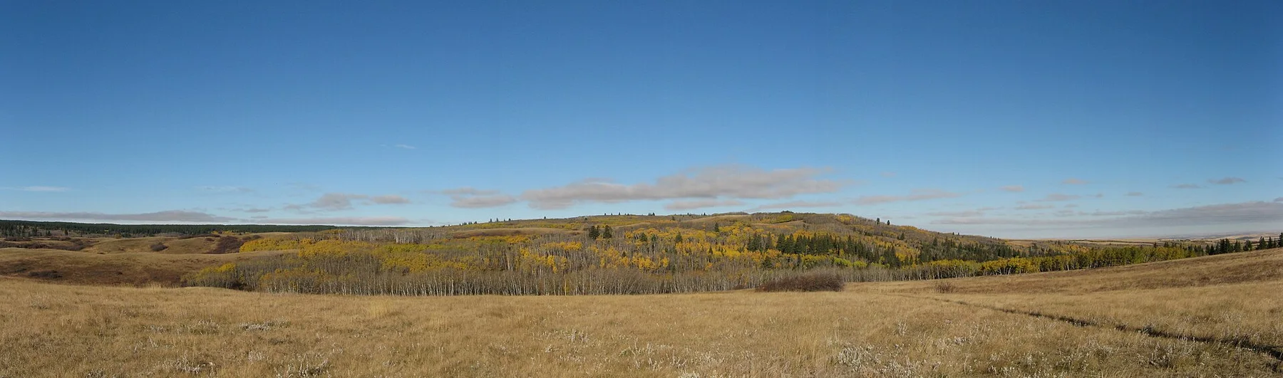
A high forested plateau rises above the surrounding prairie with lodgepole pine, coulees and dark skies.
Explore this place