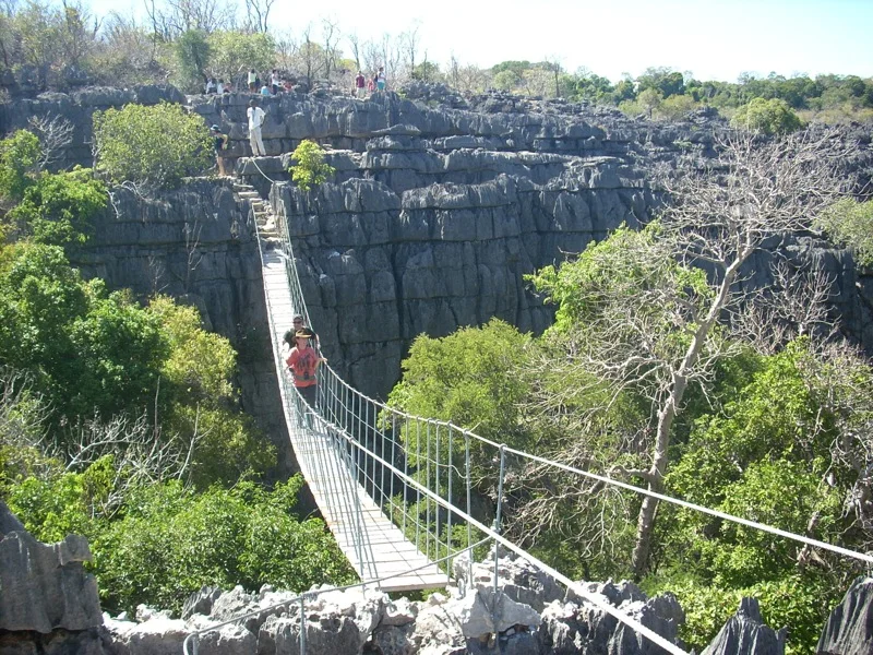
At Tsingy de Bemaraha, season is part of the landscape history, not merely a planning detail. The dry season is the main period when roads and routes are passable. Rain can make access extremely difficult and changes water levels in the Manambolo system. Heat remains significant, while shade and airflow vary sharply inside the limestone corridors.
For Tsingy de Bemaraha, the main seasonal constraint is: the strongest planning window is May-Oct. For Tsingy de Bemaraha, outside it, check weather, daylight, road or ferry schedules and seasonal closures before committing to a fixed route.
For Tsingy de Bemaraha, one practical detail matters: cloud, wind and trail conditions can change quickly. For Tsingy de Bemaraha, put the highest or most exposed stop first and keep a lower-level alternative.
Placed within its wider geography, Tsingy de Bemaraha is not an isolated exception. For Tsingy de Bemaraha, the wider context shows that, bemaraha belongs to western Madagascar's larger system of dry forest, rivers and limestone plateaus. For Tsingy de Bemaraha, the Manambolo gorge, nearby villages and other tsingy formations show that the protected area is part of a broad karst region.