Living Balkan river

Vjosa Valley

A free-flowing Balkan river links gravel channels, mountain valleys, farmland and historic towns from the Greek border toward the Adriatic plain.

Braided riverMountain villagesHistoric crossings

Location
Southern Albania, Albania
Best window
Apr-Oct
Suggested stay
3-5 days
Go for
River and mountain road trip
The reason to go

Permet river corridor

The town, hot springs and surrounding mountains provide a strong base for understanding the upper valley.

Start early and make this the first exposed stop of the day. Keep a lower route ready if cloud, heat, wind or trail conditions change during Apr-Oct.

Look a little closer

Worth discovering

The details that make Vjosa Valley different.

Photo journal
01

Permet river corridor

The town, hot springs and surrounding mountains provide a strong base for understanding the upper valley.

Photo journal
02

Kelcyre gorge

A narrower section concentrates river, road and steep limestone into a dramatic passage.

Destination view
03

Braided middle Vjosa

Wide gravel channels make the river natural movement and seasonal change especially visible.

Photo journal

A closer look at Vjosa Valley

10 photographs
Beyond the surface

What made Vjosa Valley distinctive

A free-flowing Balkan river links gravel channels, mountain valleys, farmland and historic towns from the Greek border toward the Adriatic plain. The deeper story links its visible features with the people and changes behind them.

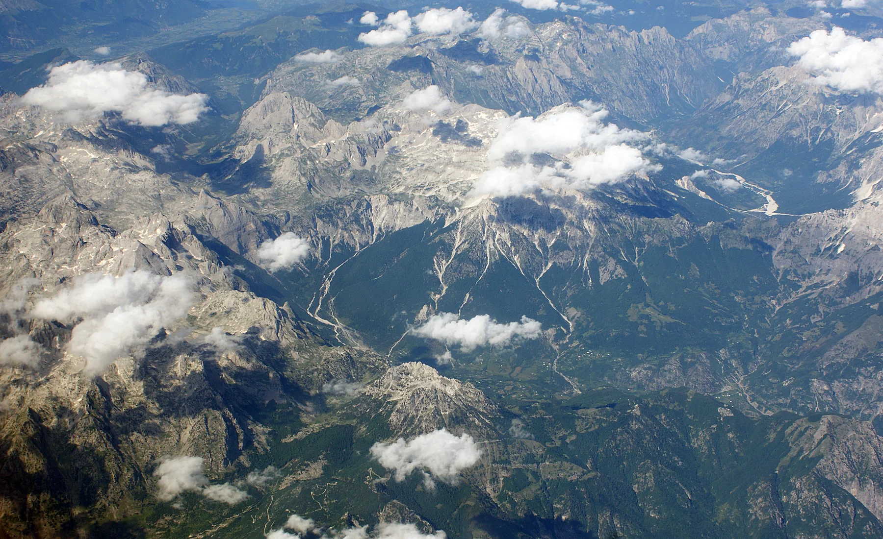
Vjosa Valley is best approached through the relationship between its setting and its lived landscape. The Vjosa crosses southern Albania as a dynamic river system of braided channels, gravel islands and broad floodplains. Mountain tributaries descend from the Pindus ranges, while the main valley gradually opens toward lower agricultural land. The river changes shape visibly with season and flow.

The familiar invitation at Vjosa Valley is “Permet river corridor”, yet that image makes more sense when it is connected to the landform, the local economy and the changes that determined access. The town, hot springs and surrounding mountains provide a strong base for understanding the upper valley.

Continue to practical planning
Gryka e Këlcyrës - panoramio (1)See the complete photo journal
Landform

How the landscape was assembled

The first layer of Vjosa Valley is geological and ecological rather than scenic. Upper sections run between steep limestone and forested slopes, while middle reaches widen into multiple channels and exposed sediment. Roads often follow the valley without fully controlling it, allowing long views across water, pasture and mountain walls. Thermal springs and tributary gorges add local variation.

Architecture at Vjosa Valley responds to environment as much as style. “Permet river corridor” makes that relationship particularly clear. The town, hot springs and surrounding mountains provide a strong base for understanding the upper valley.

Lives and livelihoods

People, work and memory

The cultural layer of Vjosa Valley is easiest to read in homes, fields, paths and local institutions. Towns such as Permet and Tepelene, small villages, bridges and cultivated terraces show how settlement has developed around crossings and usable floodplain. Agriculture, grazing and local tourism remain closely linked to river access, while the Vjosa has also become a national symbol of river conservation.

The role of “Kelcyre gorge” is especially revealing at Vjosa Valley. A narrower section concentrates river, road and steep limestone into a dramatic passage. In the history of Vjosa Valley, it connects the wider regional context with a specific place that can still be examined today.

Reorganisation

The transition visible today

Formal protection changed how Vjosa Valley was described and managed. At Vjosa Valley, new boundaries, visitor rules and conservation priorities created a public identity that still has to coexist with settlements, customary use and economic pressures. At Vjosa Valley, the current visitor experience is the newest layer rather than the whole history.

Details to read

Landmarks that carry the deeper story

Look closely at the feature “Permet river corridor” in Vjosa Valley; it carries information that a panoramic view can miss. The town, hot springs and surrounding mountains provide a strong base for understanding the upper valley. Within Vjosa Valley, the feature explains why this destination differs from nearby landscapes.

At Vjosa Valley, the feature “Kelcyre gorge” is best understood as part of the surrounding system rather than an isolated stop. A narrower section concentrates river, road and steep limestone into a dramatic passage. Its position and condition at Vjosa Valley connect physical history with the way people use the place now.

At Vjosa Valley, the significance of the feature “Braided middle Vjosa” goes beyond its visual impact. Wide gravel channels make the river natural movement and seasonal change especially visible. At Vjosa Valley, the detail links local scale with the wider regional pattern.

Season and scale

Season, scale and the present day

Vjosa Valley changes through the year because weather and biological cycles rearrange what can be seen and used. Spring usually brings stronger flow and green slopes. Summer is warmer and easier for road travel, though exposed riverbeds expand as water levels fall. Early autumn can combine clear air with quieter conditions, while winter rain can transform channels and access rapidly.

For Vjosa Valley, the main seasonal constraint is: the strongest planning window is Apr-Oct. For Vjosa Valley, outside it, check weather, daylight, road or ferry schedules and seasonal closures before committing to a fixed route.

For Vjosa Valley, one practical detail matters: ferries, tunnels and weather can change the order of the day. For Vjosa Valley, build the route around the least frequent connection, not the closest viewpoint.

Placed within its wider geography, Vjosa Valley is not an isolated exception. For Vjosa Valley, the wider context shows that, the valley belongs to a larger cross-border river basin beginning in Greece and reaching the Adriatic. For Vjosa Valley, following it over distance reveals a sequence of mountain, gorge, town and lowland landscapes rather than one fixed scenic point.
Travel notes

Plan your visit

Time needed
3-5 days
Getting around
Car or local transport, plus ferries or boats and short walks
Effort
Moderate
Plan first
Main transport and accommodation
Time of day
Start early for clearer conditions and more time
Best window
Apr-Oct
Traveller stories

Stories from people who have been here.

First-hand moments, practical notes and overlooked details from Vjosa Valley.

Loading traveller stories…

Browse all traveller stories ↗

Keep exploring

Where next?

All place stories