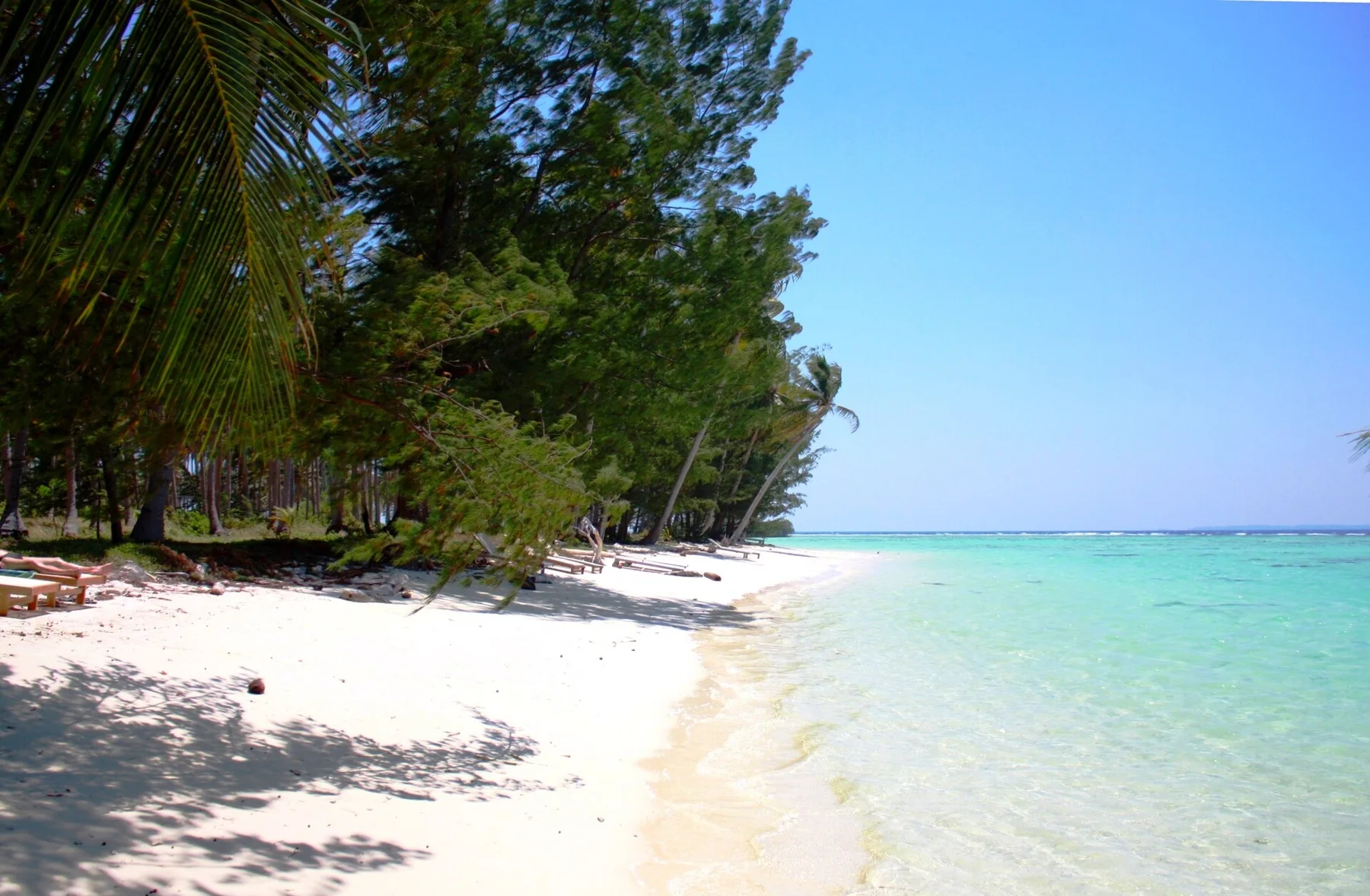
Granite islands beyond the main routes

Anambas Islands

A remote Indonesian island group of granite bays, clear reefs and small settlements between Borneo and the Malay Peninsula.

Tropical islandsReefsBoat travel

Location
South China Sea, Indonesia
Best window
Mar-Sep
Suggested stay
5-8 days
Go for
Far-off tropical archipelago
The reason to go

Island travel without a single tourism centre

The Anambas reward travellers who accept boat schedules and simple infrastructure, offering a dispersed seascape where villages, reefs and empty coves remain closely connected.

Stay long enough to connect Anambas Islands's headline landscape with one quieter local route rather than treating it as a single viewpoint.
Look a little closer

Worth discovering

The details that make Anambas Islands different.

Destination view
01

Granite and coral together

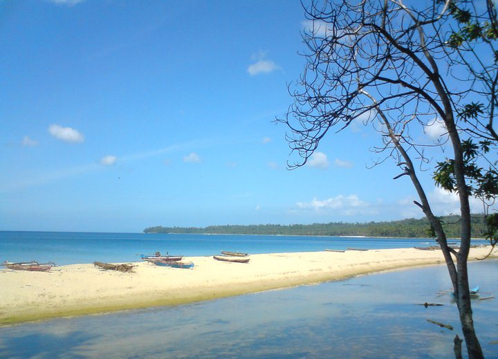
Rounded granite outcrops frame beaches and reef lagoons, creating a visual mix more often associated with other ocean regions.

Destination view
02

A cross-sea position

The archipelago sits between major landmasses and shipping routes while remaining administratively and culturally tied to Indonesia's Riau Islands.

Destination view
03

Waterfall to sea

On Siantan, streams descend through forest close to the coast, adding freshwater landscapes to the island circuit.

Photo journal

A closer look at Anambas Islands

4 photographs
Deep background

A deeper history of Anambas Islands

A remote Indonesian island group of granite bays, clear reefs and small settlements between Borneo and the Malay Peninsula. The deeper story links its visible features with the people and changes behind them.

Anambas Islands is best approached through the relationship between its setting and its lived landscape. The Anambas reward travellers who accept boat schedules and simple infrastructure, offering a dispersed seascape where villages, reefs and empty coves remain closely connected.

Visitors often encounter Anambas Islands through the idea of “Far-off tropical archipelago”, but the destination is more than that single scene. Its landscape carries evidence of work, movement, adaptation and environmental change. At Anambas Islands, allow enough time to connect Anambas Islands's headline landscape with one quieter local route instead of reducing Anambas Islands to a single viewpoint.

Continue to practical planning
Kantor Desa Teluk BayurSee the complete photo journal
Landform

The forces behind the first impression

At Anambas Islands, the form of the landscape explains many of the choices that came later. Granite islands, coral reefs, forested slopes, mangroves and deep channels form a widely scattered tropical archipelago.

Because land is limited, every ridge, bay and passage acquires practical importance. At Anambas Islands, “Granite and coral together” is where that compressed geography becomes easiest to read. Rounded granite outcrops frame beaches and reef lagoons, creating a visual mix more often associated with other ocean regions.

Human history

How people learned to live here

The Anambas Islands belong to a Malay maritime world linking the Malay Peninsula, Borneo and the Riau archipelago. Fishing villages, small sultanates and trading boats moved sea products, spices and forest goods through channels that later appeared peripheral only because national capitals lay far away.

Dutch colonial administration and Japanese wartime occupation imposed new authorities, while post-independence Indonesia integrated the islands through ferries, schools and district government. Offshore oil and gas development introduced industrial platforms and outside labour alongside traditional fisheries.

Change

The modern turning point

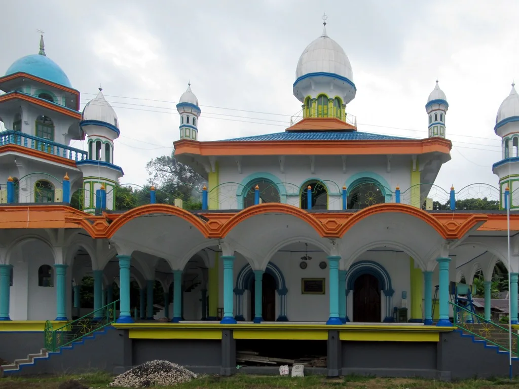
Improved air and sea access created a small tourism market around reefs and granite bays, but energy infrastructure and fishing pressure remain more consequential than resorts. Harbour towns, mosque villages, old trade routes and offshore installations show the archipelago's changing economic scale.

Visible evidence

The small features that reveal the larger pattern

At Anambas Islands, the feature “Granite and coral together” is best understood as part of the surrounding system rather than an isolated stop. Rounded granite outcrops frame beaches and reef lagoons, creating a visual mix more often associated with other ocean regions. For Anambas Islands, that relationship is more informative than treating the feature only as a photograph or checklist item.

At Anambas Islands, the feature “A cross-sea position” provides a precise clue to how the landscape works. The archipelago sits between major landmasses and shipping routes while remaining administratively and culturally tied to Indonesia's Riau Islands. Within Anambas Islands, the feature explains why this destination differs from nearby landscapes.

Start with the feature “Waterfall to sea”, because it condenses a much larger part of the story of Anambas Islands. On Siantan, streams descend through forest close to the coast, adding freshwater landscapes to the island circuit. Its position and condition at Anambas Islands connect physical history with the way people use the place now.

Living landscape

The current chapter

At Anambas Islands, season is part of the landscape history, not merely a planning detail. The drier months generally bring calmer seas, but crossings remain weather-dependent. The northeast monsoon can disrupt access and reduce underwater visibility.

For Anambas Islands, the most useful time of day is: early boat departures.

For Anambas Islands, plan this first: inter-island boat plan and cash.

Placed within its wider geography, Anambas Islands is not an isolated exception. For Anambas Islands, the wider context shows that, natuna, Bintan and the wider Riau maritime world place the islands within a long network of Malay and Indonesian sea routes.

Chronology

Key dates

  1. Malay maritime networks

    Island communities traded and intermarried across the South China Sea and Riau world.

  2. Colonial, wartime and national administration

    External governments strengthened control over routes and settlements.

  3. Offshore energy economy

    Oil and gas development added industrial infrastructure to a fishing archipelago.

In context

Get to know the place

The landscape

Granite islands, coral reefs, forested slopes, mangroves and deep channels form a widely scattered tropical archipelago.

People and place

Malay-influenced fishing communities, inter-island trade and public ferries shape daily life, while tourism remains small and locally organised.

Seasonal character

The drier months generally bring calmer seas, but crossings remain weather-dependent. The northeast monsoon can disrupt access and reduce underwater visibility.

Beyond the main view

Natuna, Bintan and the wider Riau maritime world place the islands within a long network of Malay and Indonesian sea routes.

Travel notes

Plan your visit

Time needed
5-8 days
Getting around
Flight or ferry, then local boat
Effort
Moderate
Plan first
Inter-island boat plan and cash
Time of day
Early boat departures
Best window
Mar-Sep
Keep exploring

Where next?

All place stories