Banda Api
The active volcanic cone dominates the harbour and island skyline.
Plan the least frequent boat, ferry or exposed coastal section first. Use early or late light and keep a weather alternative during Oct-Apr.
Volcanic islands, coral water and nutmeg history form a compact archipelago far from Indonesia’s main tourism routes.
The active volcanic cone dominates the harbour and island skyline.
Plan the least frequent boat, ferry or exposed coastal section first. Use early or late light and keep a weather alternative during Oct-Apr.
The details that make Banda Islands different.
The active volcanic cone dominates the harbour and island skyline.
Historic groves and drying houses connect the islands to global trade history.
Fortifications and town streets reveal the archipelago’s contested colonial past.
Volcanic islands, coral water and nutmeg history form a compact archipelago far from Indonesia’s main tourism routes. Its character becomes clearer when geology, settlement and modern protection are considered together.
Banda Islands occupies a small island group in the Banda Sea. Volcanic islands, coral water and nutmeg history form a compact archipelago far from Indonesia’s main tourism routes. The Banda group sits within the wider Maluku archipelago, where marine biodiversity and centuries of inter-island trade are inseparable.
The familiar invitation at Banda Islands is “Banda Api”, yet that image makes more sense when it is connected to the landform, the local economy and the changes that determined access. The active volcanic cone dominates the harbour and island skyline.
Continue to practical planningBefore roads, settlements or protected-area boundaries, the terrain of Banda Islands set the basic terms. Banda Api rises sharply above deep blue water, while neighbouring islands hold coral reefs, forest and cultivated nutmeg groves.
The map understates the role of the sea. At Banda Islands, “Banda Api” makes clear that water is both a boundary and the route through which settlements, wildlife and outside connections developed. The active volcanic cone dominates the harbour and island skyline.
At Banda Islands, human history is written into settlement and land use rather than separated from the scenery. Fortifications, colonial buildings and village gardens reflect the violent global history of the spice trade and the resilience of local communities.
The role of “Nutmeg landscape” is especially revealing at Banda Islands. Historic groves and drying houses connect the islands to global trade history. In the history of Banda Islands, it connects the wider regional context with a specific place that can still be examined today.
The decisive modern change at Banda Islands was access. At Banda Islands, transport and visitor infrastructure made the landscape easier to reach while concentrating pressure at the few points where roads, boats or trails enter it. At Banda Islands, that transition remains visible in the contrast between older working features and visitor infrastructure.
At Banda Islands, the significance of the feature “Banda Api” goes beyond its visual impact. The active volcanic cone dominates the harbour and island skyline. Within Banda Islands, the feature explains why this destination differs from nearby landscapes.
At Banda Islands, the significance of the feature “Nutmeg landscape” goes beyond its visual impact. Historic groves and drying houses connect the islands to global trade history. Its position and condition at Banda Islands connect physical history with the way people use the place now.
At Banda Islands, the feature “Fort Belgica and Neira” is one of the most useful pieces of visible evidence. Fortifications and town streets reveal the archipelago’s contested colonial past. For Banda Islands, that relationship is more informative than treating the feature only as a photograph or checklist item.
A single visit to Banda Islands captures only one phase of its annual cycle. Sea conditions and ferry schedules determine access; the calmer periods around the main dry-season windows are generally more practical.
For Banda Islands, the main seasonal constraint is: the strongest planning window is Oct-Apr. For Banda Islands, outside it, check weather, daylight, road or ferry schedules and seasonal closures before committing to a fixed route.
For Banda Islands, one practical detail matters: ferries, tunnels and weather can change the order of the day. For Banda Islands, build the route around the least frequent connection, not the closest viewpoint.
Placed within its wider geography, Banda Islands is not an isolated exception. For Banda Islands, the wider context shows that, the Banda group sits within the wider Maluku archipelago, where marine biodiversity and centuries of inter-island trade are inseparable.

A remote Indonesian island group of granite bays, clear reefs and small settlements between Borneo and the Malay Peninsula.
Explore this place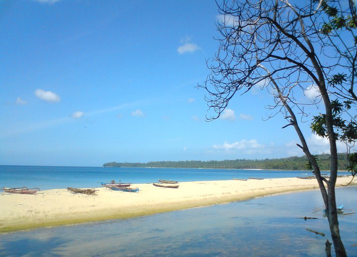
A dispersed Indonesian archipelago of limestone islands, coral water, fishing villages and endemic species far from the country's main tourism routes.
Explore this place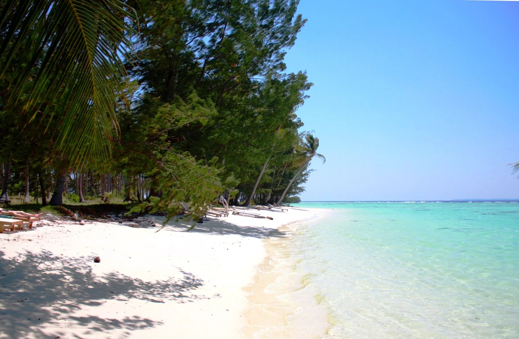
A small Java Sea archipelago of coral reefs, mangroves, fishing villages and low forested islands sits north of central Java.
Explore this place