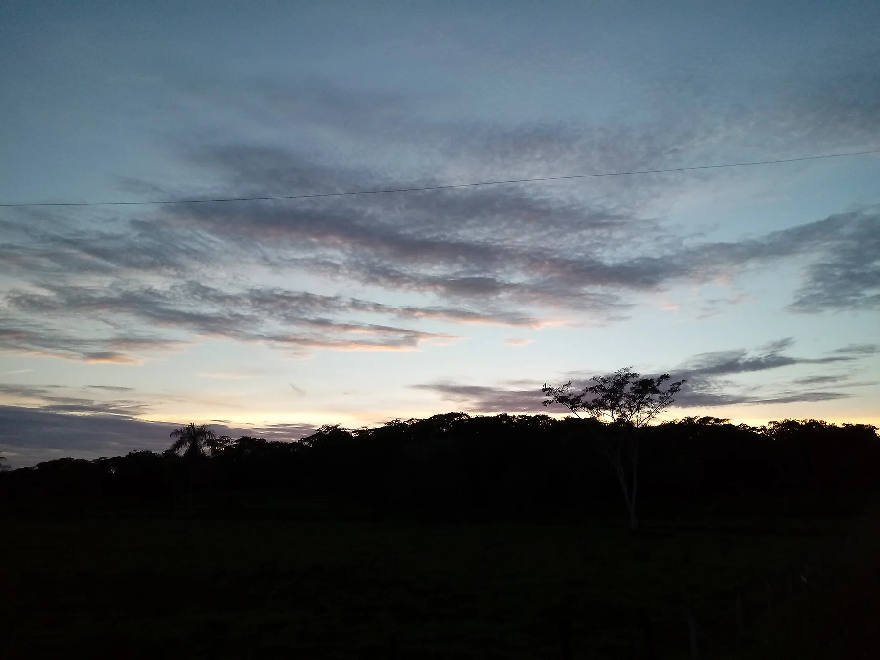
The route changes with water level, passing from open lake into shaded channels where giant otters, birds and fish use the forest itself.
Use an experienced local guide and begin early, when wildlife activity, water levels and cooler conditions are most favourable.
Look a little closer
Worth discovering
The details that make Cantao State Park different.
Destination view
01
Oxbow-lake mosaic
Old river channels create an exceptional density of lakes.
Destination view
02
Flooded forest
Seasonal water carries fish and wildlife beneath the canopy.
Destination view
03
Araguaia confluence
Major rivers meet beside the protected area.
Photo journal
A closer look at Cantao State Park
4 photographs
01Ilha cantao02Marsh Deer03Dunas do Jalapão, em Mateiros04Tayra at Cantão
Landscape and history
What made Cantao State Park distinctive
Hundreds of lakes and flooded-forest channels occupy an ecological junction between Amazon, cerrado and Araguaia wetlands. Its character becomes clearer when geology, settlement and modern protection are considered together.
4 min readAraguaia-Tocantins confluence, Brazil
Cantao State Park is centred on Araguaia-Tocantins confluence, where hundreds of lakes and flooded-forest channels occupy an ecological junction between Amazon, cerrado and Araguaia wetlands. The strongest reason to make the journey is to canoe through flooded forest between oxbow lakes.
The familiar invitation at Cantao State Park is “Canoe through flooded forest between oxbow lakes”, yet that image makes more sense when it is connected to the landform, the local economy and the changes that determined access. The route changes with water level, passing from open lake into shaded channels where giant otters, birds and fish use the forest itself.
At Cantao State Park, the physical story begins with the structure of the ground. Water level determines the route, wildlife concentration and what ground is accessible. Boat or canoe travel often reveals more than a road-based visit.
Water continually redraws the practical map of Cantao State Park. “Oxbow-lake mosaic” is one of the clearest places to see channels, vegetation and open ground exchange roles. Old river channels create an exceptional density of lakes.
02
Settlement and memory
Settlement, movement and local knowledge
Cantao lies where the Araguaia, Javaes and Coco rivers create a shifting mosaic of channels and floodplain lakes. Karaja and Javae communities have long depended on these waters for fishing, travel and seasonal resources.
Ranching and settlement expanded along higher ground, while the island-like floodplain retained exceptional habitat. Cantao State Park was created in 1989 as part of a broader protected mosaic with Bananal Island.
03
Change
From local landscape to protected destination
Scientific work showed that annual connectivity between rivers and lakes drives fish and wildlife abundance. Upstream dams, deforestation and sediment change now threaten processes that cannot be protected within park boundaries alone.
04
On the ground
Where the story becomes visible
At Cantao State Park, the feature “Oxbow-lake mosaic” is best understood as part of the surrounding system rather than an isolated stop. Old river channels create an exceptional density of lakes. Within Cantao State Park, the feature explains why this destination differs from nearby landscapes.
At Cantao State Park, the feature “Flooded forest” is one of the most useful pieces of visible evidence. Seasonal water carries fish and wildlife beneath the canopy. Within Cantao State Park, the feature explains why this destination differs from nearby landscapes.
At Cantao State Park, the feature “Araguaia confluence” is best understood as part of the surrounding system rather than an isolated stop. Major rivers meet beside the protected area. Within Cantao State Park, it is both an attraction and a record of the processes described above.
05
Season and scale
What continues to change
Cantao State Park changes through the year because weather and biological cycles rearrange what can be seen and used. For Cantao State Park, the most reliable visiting window is May-Sep.
For Cantao State Park, the stated visiting window is May-Sep, but its practical meaning depends on local weather, water and transport rather than the calendar alone.
Placed within its wider geography, Cantao State Park is not an isolated exception. Beyond the best-known image of Cantao State Park feature, Cantao State Park matters because flooded forest and araguaia confluence place the destination inside a broader regional story.
Chronology
Key dates
Life organised by rivers
Communities moved and harvested according to the flood pulse.
Ranching reaches the margins
Higher ground was cleared while seasonal wetlands remained less accessible.
Cantao State Park established
State protection recognised a critical Araguaia floodplain system.
Travel notes
Plan your visit
Time needed
2-4 days
Getting around
Boat or canoe, plus short walks from landing points
Effort
Easy to moderate
Plan first
Water level, boat and local guide
Time of day
Early morning and late afternoon
Best window
May-Sep
Traveller stories
Stories from people who have been here.
First-hand moments, practical notes and overlooked details from Cantao State Park.