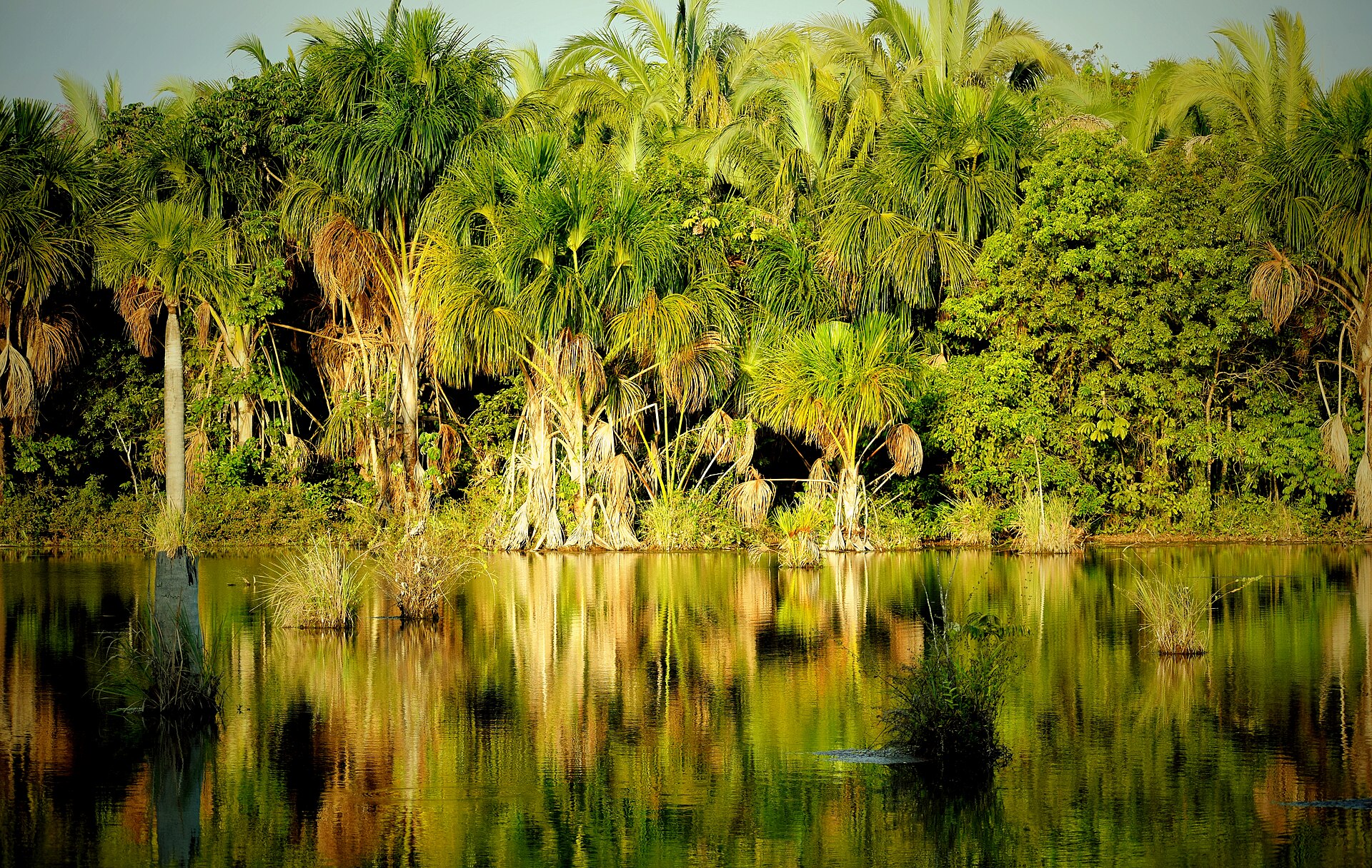
Sandstone mesas above the cerrado

Chapada das Mesas

A cerrado landscape of flat-topped sandstone hills, clear rivers, waterfalls and palm-lined valleys in Brazil's southern Maranhao interior.

WaterfallsCerradoTable mountains

Location
Maranhao, Brazil
Best window
May-Sep
Suggested stay
4-6 days
Go for
Warm-water plateau circuit
The reason to go

A Brazilian plateau built around water

Chapada das Mesas pairs sculptural dry-season landforms with abundant rivers and swimming places, creating a more water-rich experience than its sandstone horizons suggest.

Stay long enough to connect Chapada das Mesas's headline landscape with one quieter local route rather than treating it as a single viewpoint.
Look a little closer

Worth discovering

The details that make Chapada das Mesas different.

Destination view
01

Mesas as landmarks

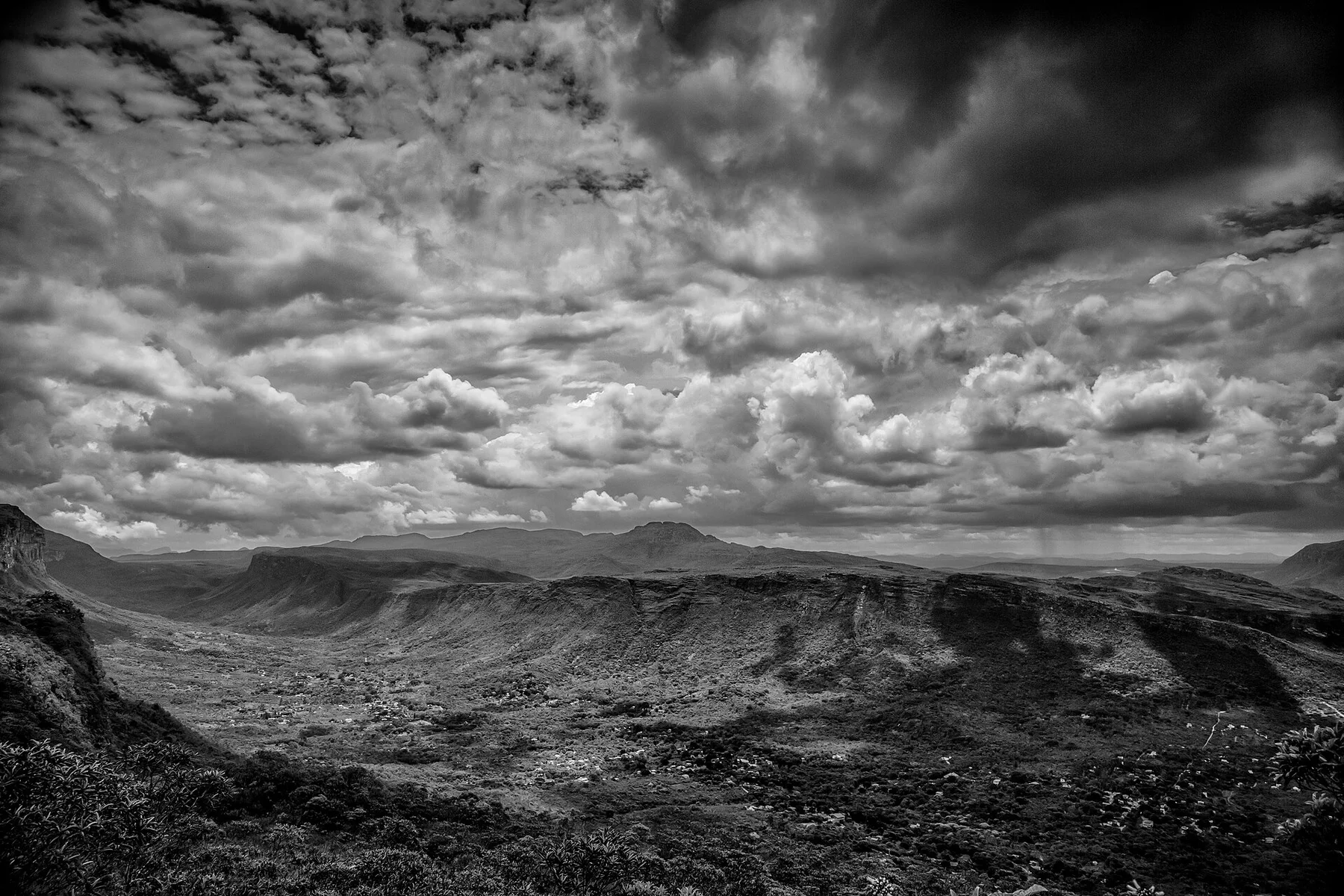
Flat-topped hills and isolated sandstone towers give the region a distinctive skyline and its name.

Destination view
02

Clear cerrado rivers

Springs and rivers form waterfalls and pools that remain central to both ecology and local travel routes.

Destination view
03

A transition landscape

The region lies between cerrado, Amazonian and northeastern ecological influences, increasing habitat variety.

Photo journal

A closer look at Chapada das Mesas

4 photographs
Landscape and history

Chapada das Mesas: land, people and change

A cerrado landscape of flat-topped sandstone hills, clear rivers, waterfalls and palm-lined valleys in Brazil's southern Maranhao interior. The view is only the surface of a longer story of formation, use and change.

Chapada das Mesas pairs sculptural dry-season landforms with abundant rivers and swimming places, creating a more water-rich experience than its sandstone horizons suggest.

Visitors often encounter Chapada das Mesas through the idea of “Warm-water plateau circuit”, but the destination is more than that single scene. Its landscape carries evidence of work, movement, adaptation and environmental change. At Chapada das Mesas, allow enough time to connect Chapada das Mesas's headline landscape with one quieter local route instead of reducing Chapada das Mesas to a single viewpoint.

Continue to practical planning
Carolina - MA - Pq Nacional da Chapada das Mesas - Portal-4 (38831884450)See the complete photo journal
Natural history

What the ground explains

The first layer of Chapada das Mesas is geological and ecological rather than scenic. Sandstone plateaus, dry woodland, gallery forest, buriti palms, rivers and waterfalls form a warm inland mosaic.

Routes and settlements at Chapada das Mesas follow the water system even when the map emphasises roads. “Mesas as landmarks” exposes that older logic. Flat-topped hills and isolated sandstone towers give the region a distinctive skyline and its name.

Settlement and memory

People, work and memory

The southern Maranhao cerrado is part of the wider homeland of Timbira and other Indigenous peoples, whose burning, hunting, gathering and travel shaped the mosaic long before ranches and towns expanded. Sandstone mesas served as landmarks above river corridors and buriti-lined wetlands.

Carolina grew as a river port and cattle frontier on the Tocantins, later connected by roads to agricultural expansion in central Brazil. Waterfalls and clear springs became tourism assets as mechanised farming and pasture conversion advanced across surrounding plateaus.

Reorganisation

A landscape reorganised

Chapada das Mesas National Park was created in 2005 to protect cerrado, rivers and scenic formations. Its boundaries do not isolate it from fire, soy, cattle and hydrological change outside the park, making the mesas part of a larger land-use conflict.

Field notes

Landmarks that carry the deeper story

At Chapada das Mesas, the feature “Mesas as landmarks” is one of the most useful pieces of visible evidence. Flat-topped hills and isolated sandstone towers give the region a distinctive skyline and its name. Its position and condition at Chapada das Mesas connect physical history with the way people use the place now.

At Chapada das Mesas, the feature “Clear cerrado rivers” is best understood as part of the surrounding system rather than an isolated stop. Springs and rivers form waterfalls and pools that remain central to both ecology and local travel routes. Within Chapada das Mesas, it is both an attraction and a record of the processes described above.

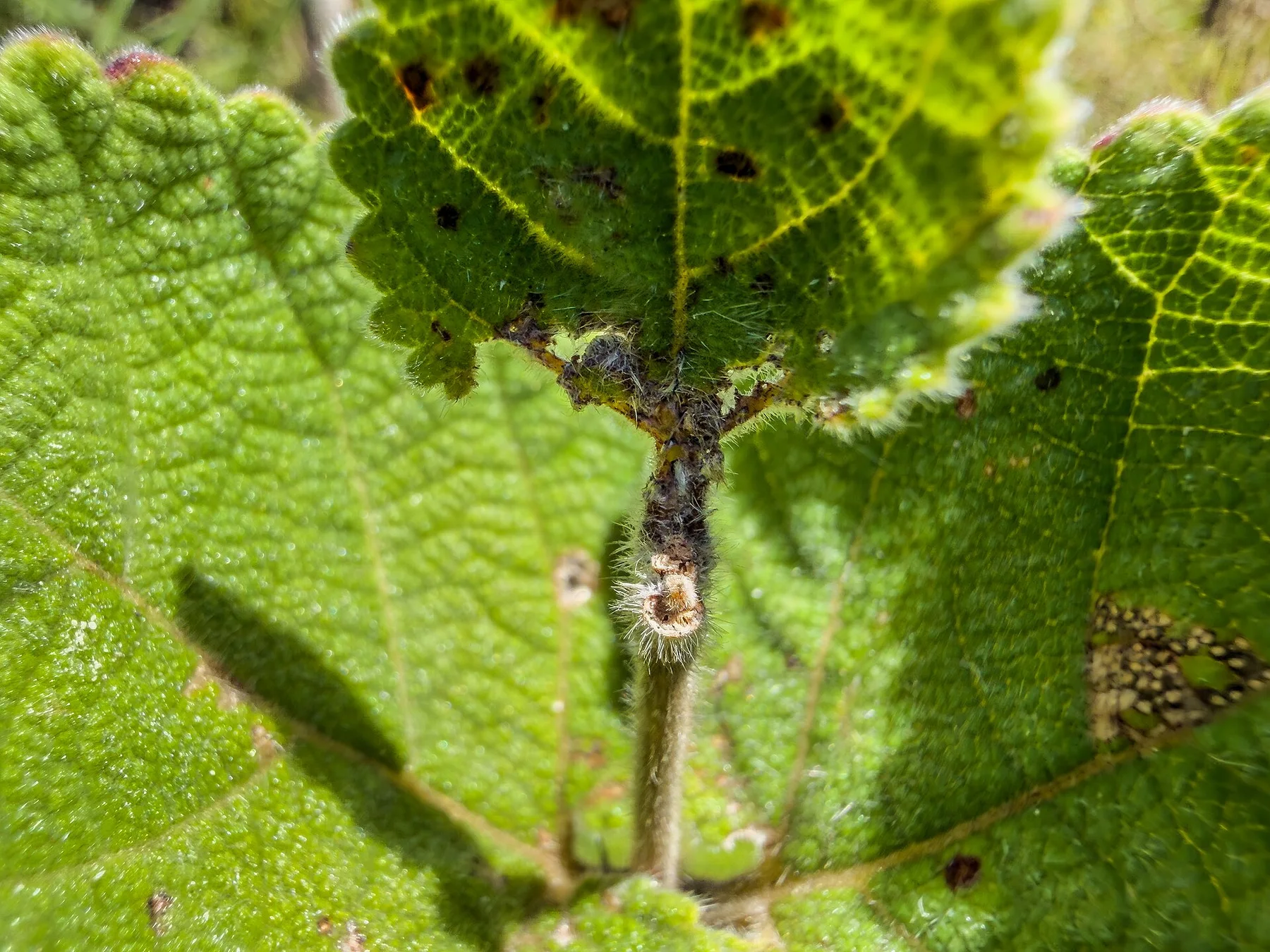
Look closely at the feature “A transition landscape” in Chapada das Mesas; it carries information that a panoramic view can miss. The region lies between cerrado, Amazonian and northeastern ecological influences, increasing habitat variety. Its position and condition at Chapada das Mesas connect physical history with the way people use the place now.

Present day

Season, scale and the present day

At Chapada das Mesas, season is part of the landscape history, not merely a planning detail. The dry months offer clearer water, easier roads and stronger walking conditions. The wet season gives fuller waterfalls but can complicate tracks.

For Chapada das Mesas, the most useful time of day is: morning hikes and late swims.

For Chapada das Mesas, plan this first: waterfall circuit and local guide.

Placed within its wider geography, Chapada das Mesas is not an isolated exception. For Chapada das Mesas, the wider context shows that, the Tocantins River and Jalapao-like cerrado corridors link the chapada to a much larger central Brazilian interior.

Chronology

Key dates

  1. Indigenous cerrado landscape

    Timbira and other peoples used seasonal fire, rivers and plant resources across the region.

  2. Carolina and cattle frontier

    River trade and roads tied the interior more closely to ranching and national markets.

  3. National park established

    Federal protection covered mesas, waterfalls and cerrado habitats threatened by regional conversion.

In context

Get to know the place

The landscape

Sandstone plateaus, dry woodland, gallery forest, buriti palms, rivers and waterfalls form a warm inland mosaic.

People and place

Carolina and surrounding communities combine cattle, small farming and growing nature tourism, with access often organised through local guides and vehicles.

Seasonal character

The dry months offer clearer water, easier roads and stronger walking conditions. The wet season gives fuller waterfalls but can complicate tracks.

Beyond the main view

The Tocantins River and Jalapao-like cerrado corridors link the chapada to a much larger central Brazilian interior.

Travel notes

Plan your visit

Time needed
4-6 days
Getting around
4x4, local transfer and walking
Effort
Easy to moderate
Plan first
Waterfall circuit and local guide
Time of day
Morning hikes and late swims
Best window
May-Sep
Keep exploring

Where next?

All place stories