Vale do Pati
A deep inhabited valley combines cliffs, forest, fields and long walking routes.
Start early and make this the first exposed stop of the day. Keep a lower route ready if cloud, heat, wind or trail conditions change during Apr-Oct.
Table mountains, deep valleys, waterfalls, caves and former diamond towns form a broad highland in the interior of Bahia.
A deep inhabited valley combines cliffs, forest, fields and long walking routes.
Start early and make this the first exposed stop of the day. Keep a lower route ready if cloud, heat, wind or trail conditions change during Apr-Oct.
The details that make Chapada Diamantina different.
A deep inhabited valley combines cliffs, forest, fields and long walking routes.
A broad table mountain offers one of the clearest readings of the surrounding plateaus and isolated ridges.
Historic towns and abandoned workings preserve the social history behind the Diamantina name.
Table mountains, deep valleys, waterfalls, caves and former diamond towns form a broad highland in the interior of Bahia. The deeper story links its visible features with the people and changes behind them.
Chapada Diamantina rises above the semi-arid interior of Bahia as a complex highland of plateaus, cliffs, valleys and isolated mesas. Water gathers in its sandstone and quartzite terrain, feeding rivers and some of Brazil's most dramatic waterfalls. The region is large enough to contain several distinct landscapes rather than one central scenic zone.
The strongest visual shorthand for Chapada Diamantina is the experience described as “Vale do Pati”. Behind it lies a more complex relationship between physical processes, settlement and the modern idea of the place as a destination. A deep inhabited valley combines cliffs, forest, fields and long walking routes.
Continue to practical planningAt Chapada Diamantina, the physical story begins with the structure of the ground. Flat-topped mountains and deeply incised valleys create strong changes in scale. Caves and blue pools appear in limestone sections, while open campos rupestres vegetation occupies higher ground. The Vale do Pati is more enclosed and cultivated, contrasting with exposed viewpoints such as Morro do Pai Inacio.
Altitude turns distance into effort and creates abrupt ecological boundaries. At Chapada Diamantina, “Vale do Pati” provides a useful reference point for understanding that vertical structure. A deep inhabited valley combines cliffs, forest, fields and long walking routes.
At Chapada Diamantina, daily life gives the terrain a historical meaning that a viewpoint alone cannot provide. Diamond mining shaped towns including Lencois, Mucuge and Igatu, leaving architecture, trails and abandoned workings. Communities later adapted toward agriculture, conservation and tourism. The historical mining routes still influence how the highland is crossed and understood.
At Chapada Diamantina, the feature described as “Morro do Pai Inacio” offers a second line of evidence. A broad table mountain offers one of the clearest readings of the surrounding plateaus and isolated ridges. Within Chapada Diamantina, it shows how local knowledge and practical use became embedded in the landscape.
Formal protection changed how Chapada Diamantina was described and managed. At Chapada Diamantina, new boundaries, visitor rules and conservation priorities created a public identity that still has to coexist with settlements, customary use and economic pressures. At Chapada Diamantina, the current visitor experience is the newest layer rather than the whole history.
At Chapada Diamantina, the feature “Vale do Pati” is best understood as part of the surrounding system rather than an isolated stop. A deep inhabited valley combines cliffs, forest, fields and long walking routes. Its position and condition at Chapada Diamantina connect physical history with the way people use the place now.
At Chapada Diamantina, the feature “Morro do Pai Inacio” is one of the most useful pieces of visible evidence. A broad table mountain offers one of the clearest readings of the surrounding plateaus and isolated ridges. For Chapada Diamantina, that relationship is more informative than treating the feature only as a photograph or checklist item.
At Chapada Diamantina, the feature “Mining heritage” provides a precise clue to how the landscape works. Historic towns and abandoned workings preserve the social history behind the Diamantina name. Its position and condition at Chapada Diamantina connect physical history with the way people use the place now.
Chapada Diamantina changes through the year because weather and biological cycles rearrange what can be seen and used. The drier months generally provide more predictable walking conditions, while rainfall revives waterfalls and rivers. Heat varies with elevation, and nights can be cool on the plateau. The region's size means weather may differ considerably between northern and southern sections.
For Chapada Diamantina, the main seasonal constraint is: the strongest planning window is Apr-Oct. For Chapada Diamantina, outside it, check weather, daylight, road or ferry schedules and seasonal closures before committing to a fixed route.
For Chapada Diamantina, one practical detail matters: distances, fuel, food and mobile coverage can be less predictable than the map suggests. For Chapada Diamantina, carry offline maps and keep a margin in the schedule.
Placed within its wider geography, Chapada Diamantina is not an isolated exception. Chapada Diamantina sits within the broader Espinhaco mountain system and marks a transition between caatinga, cerrado and Atlantic-influenced vegetation. For Chapada Diamantina, linking the park with surrounding towns and rural valleys reveals a cultural region extending well beyond protected boundaries.

A cerrado landscape of flat-topped sandstone hills, clear rivers, waterfalls and palm-lined valleys in Brazil's southern Maranhao interior.
Explore this place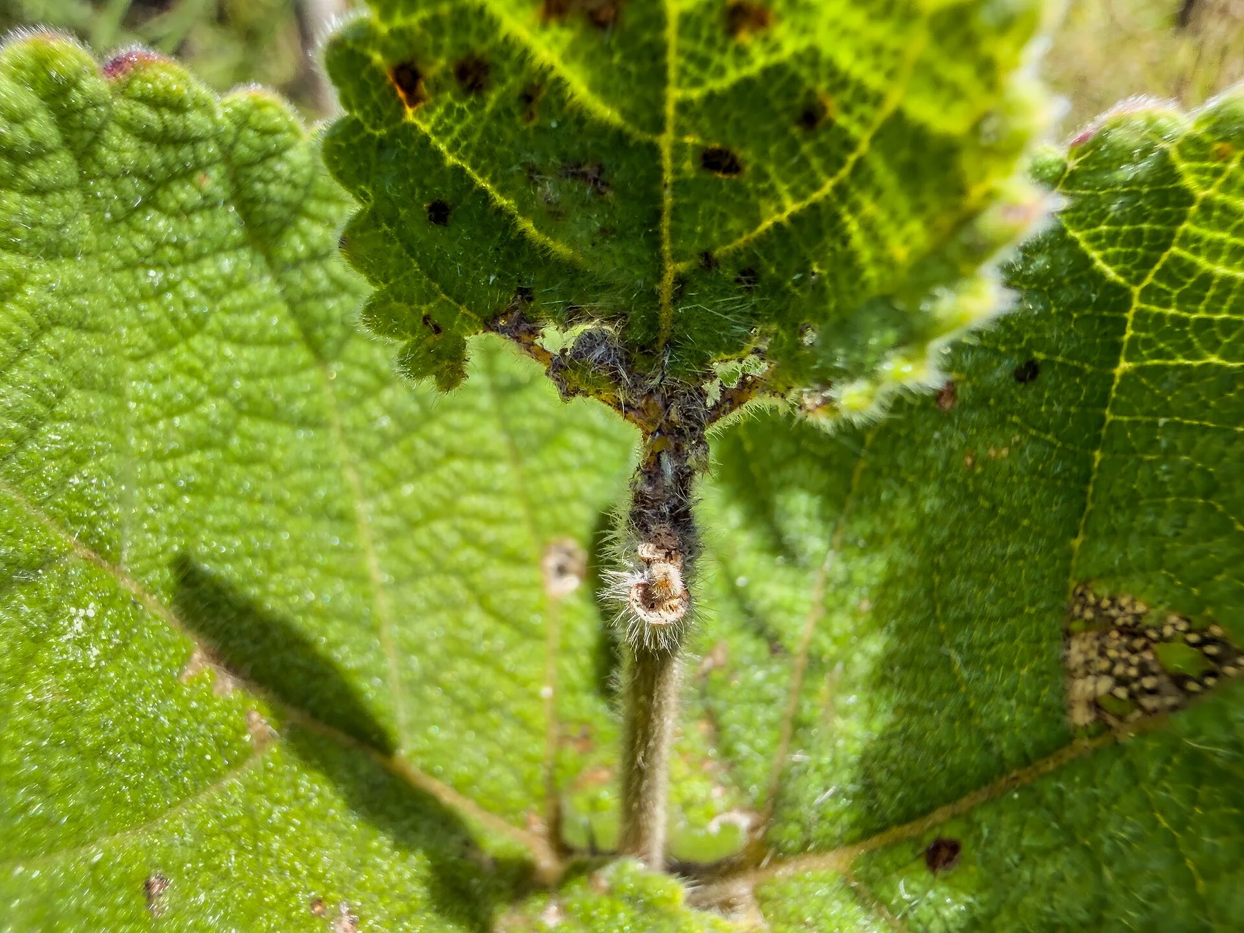
A high Brazilian cerrado plateau of quartzite ridges, clear rivers, waterfalls and open vegetation under a broad central sky.
Explore this place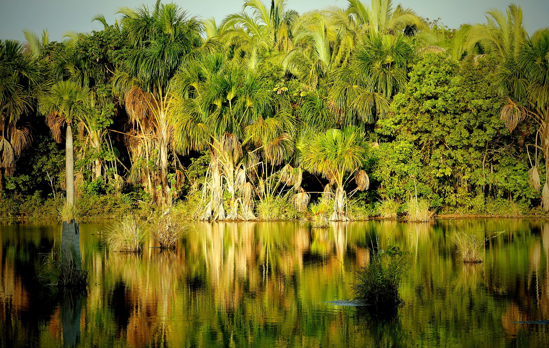
Clear spring rivers, limestone pools and cerrado forest create a quieter alternative to Brazil's better-known snorkelling destinations.
Explore this place