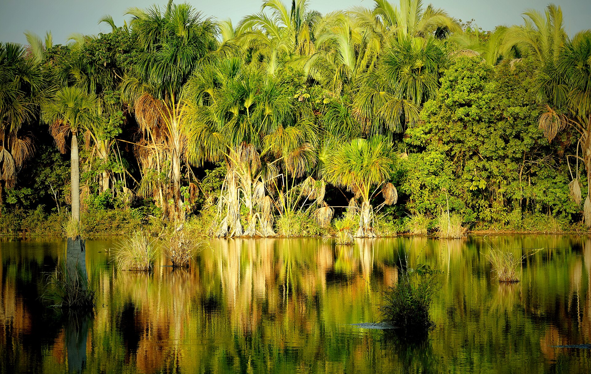
Central Brazilian plateau

Chapada dos Veadeiros

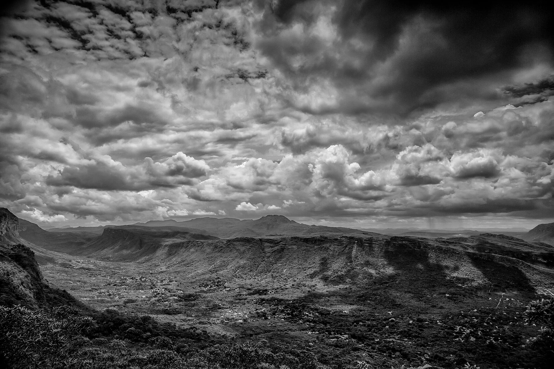
A high Brazilian cerrado plateau of quartzite ridges, clear rivers, waterfalls and open vegetation under a broad central sky.

CerradoWaterfallsQuartzite plateau

Location
Goias, Brazil
Best window
May-Sep
Suggested stay
3-5 days
Go for
Plateau water trails
The reason to go

Saltos do Rio Preto

Large waterfalls drop from the plateau into a deep river valley within the national park.

Start early and make this the first exposed stop of the day. Keep a lower route ready if cloud, heat, wind or trail conditions change during May-Sep.

Look a little closer

Worth discovering

The details that make Chapada dos Veadeiros different.

Photo journal
01

Saltos do Rio Preto

Large waterfalls drop from the plateau into a deep river valley within the national park.

Photo journal
02

Vale da Lua

Water has polished and carved exposed rock into channels and rounded forms beside the river.

Destination view
03

Kalunga territories

Community landscapes connect waterfalls and cerrado ecology with Afro-Brazilian cultural history.

Photo journal

A closer look at Chapada dos Veadeiros

17 photographs
Beyond the surface

Chapada dos Veadeiros: the story behind the landscape

A high Brazilian cerrado plateau of quartzite ridges, clear rivers, waterfalls and open vegetation under a broad central sky. Its character becomes clearer when geology, settlement and modern protection are considered together.

Chapada dos Veadeiros rises in central Brazil as a high plateau of ancient rock, cerrado vegetation and deeply cut river valleys. Alto Paraiso, Sao Jorge and Cavalcante provide different access points to waterfalls and protected landscapes. The region's identity comes from the contrast between open, dry-looking uplands and abundant clear water hidden in gorges.

Many visits to Chapada dos Veadeiros begin with the experience described as “Saltos do Rio Preto”. The more revealing question is why it exists here, how people used the surrounding ground and what remains visible from earlier phases. Large waterfalls drop from the plateau into a deep river valley within the national park.

Continue to practical planning
Broad hairy leaves in Chapada dos Veadeiros – 1See the complete photo journal
Natural history

What the ground explains

At Chapada dos Veadeiros, the physical story begins with the structure of the ground. Quartzite and other resistant rocks form ridges, slabs and narrow canyons. Rivers descend through a sequence of cascades, pools and broad falls, while the surrounding cerrado changes from grassland to twisted woodland. Fire, rain and seasonal growth continually reshape colour and visibility.

Water is not simply scenery at Chapada dos Veadeiros; it organises erosion, habitat and movement. “Saltos do Rio Preto” is where those roles become easiest to separate and understand. Large waterfalls drop from the plateau into a deep river valley within the national park.

Settlement and memory

How people learned to live here

At Chapada dos Veadeiros, daily life gives the terrain a historical meaning that a viewpoint alone cannot provide. Local towns, rural communities and Kalunga territories occupy the wider plateau. Guiding, conservation, farming and wellness-oriented tourism all influence the contemporary economy. Access to some waterfalls depends on community agreements and local guides, reflecting the inhabited nature of the region.

At Chapada dos Veadeiros, “Vale da Lua” should not be treated as a decorative detail. Water has polished and carved exposed rock into channels and rounded forms beside the river. The feature records how construction, movement or livelihood adapted to local conditions at Chapada dos Veadeiros.

Change

How access and attention changed the place

Formal protection changed how Chapada dos Veadeiros was described and managed. At Chapada dos Veadeiros, new boundaries, visitor rules and conservation priorities created a public identity that still has to coexist with settlements, customary use and economic pressures. Chapada dos Veadeiros should therefore be read as an evolving cultural landscape rather than a timeless scene.

Visible evidence

Three details that explain the whole place

At Chapada dos Veadeiros, the feature “Saltos do Rio Preto” is one of the most useful pieces of visible evidence. Large waterfalls drop from the plateau into a deep river valley within the national park. Its position and condition at Chapada dos Veadeiros connect physical history with the way people use the place now.

At Chapada dos Veadeiros, the significance of the feature “Vale da Lua” goes beyond its visual impact. Water has polished and carved exposed rock into channels and rounded forms beside the river. At Chapada dos Veadeiros, it gives a concrete reference point for reading change rather than merely collecting viewpoints.

At Chapada dos Veadeiros, the significance of the feature “Kalunga territories” goes beyond its visual impact. Community landscapes connect waterfalls and cerrado ecology with Afro-Brazilian cultural history. Its position and condition at Chapada dos Veadeiros connect physical history with the way people use the place now.

Living landscape

Why the landscape still feels dynamic

A single visit to Chapada dos Veadeiros captures only one phase of its annual cycle. The dry season from May to September provides clearer trails and generally safer river levels, though vegetation becomes drier. The rainy season turns the landscape green and increases waterfall volume but can create flash-flood risk in narrow canyons. Local conditions should determine water access.

For Chapada dos Veadeiros, the main seasonal constraint is: the strongest planning window is May-Sep. For Chapada dos Veadeiros, outside it, check weather, daylight, road or ferry schedules and seasonal closures before committing to a fixed route.

For Chapada dos Veadeiros, one practical detail matters: cloud, wind and trail conditions can change quickly. For Chapada dos Veadeiros, put the highest or most exposed stop first and keep a lower-level alternative.

Placed within its wider geography, Chapada dos Veadeiros is not an isolated exception. For Chapada dos Veadeiros, the wider context shows that, the national park is only one part of a much larger cerrado landscape. For Chapada dos Veadeiros, linking Sao Jorge with Alto Paraiso and community-managed areas around Cavalcante shows how geology, biodiversity and cultural territory extend beyond formal park boundaries.

Travel notes

Plan your visit

Time needed
3-5 days
Getting around
Car to access points, then walking or hiking
Effort
Moderate
Plan first
Accommodation and seasonal transport
Time of day
Start early for clearer conditions and more time
Best window
May-Sep
Traveller stories

Stories from people who have been here.

First-hand moments, practical notes and overlooked details from Chapada dos Veadeiros.

Loading traveller stories…

Browse all traveller stories ↗

Keep exploring

Where next?

All place stories