Tiger Fern trail viewpoints
Higher ground provides rare broad views across the forested basin.
Plan the least frequent boat, ferry or exposed coastal section first. Use early or late light and keep a weather alternative during Feb-May.
Rainforest, rivers and the eastern Maya Mountains form a large protected basin behind Belize Caribbean coastal plain.
Higher ground provides rare broad views across the forested basin.
Plan the least frequent boat, ferry or exposed coastal section first. Use early or late light and keep a weather alternative during Feb-May.
The details that make Cockscomb Basin different.
Higher ground provides rare broad views across the forested basin.
Water shapes the most accessible trails and offers a close-scale experience of the rainforest.
The sanctuary is part of a much larger upland system extending across southern Belize.
Rainforest, rivers and the eastern Maya Mountains form a large protected basin behind Belize Caribbean coastal plain. This account follows the forces, communities and decisions that made the present landscape.
Cockscomb Basin protects a broad rainforest watershed within the Maya Mountains of southern Belize. Forested ridges enclose river valleys and waterfalls, creating a humid interior landscape very different from the nearby Caribbean coast. The sanctuary is known for jaguar habitat, though sightings are rare.
The familiar invitation at Cockscomb Basin is “Tiger Fern trail viewpoints”, yet that image makes more sense when it is connected to the landform, the local economy and the changes that determined access. Higher ground provides rare broad views across the forested basin.
Continue to practical planningAt Cockscomb Basin, the physical story begins with the structure of the ground. Trails follow rivers, low ridges and former logging routes. Dense vegetation limits distant views until higher viewpoints open over the basin. Rainfall feeds numerous streams and makes water a constant feature of the landscape.
Relief controls far more than the view. At Cockscomb Basin, “Tiger Fern trail viewpoints” reveals how elevation divides vegetation, weather, water and the routes available to people. Higher ground provides rare broad views across the forested basin.
Cockscomb Basin has been shaped as much by livelihoods and movement as by natural processes. Maya communities, conservation history and nearby citrus and agricultural land frame the protected area. Local guides and community-based tourism add cultural context, while the sanctuary itself has limited infrastructure beyond its trail network.
A close look at “River and waterfall routes” makes the cultural layer of Cockscomb Basin more concrete. Water shapes the most accessible trails and offers a close-scale experience of the rainforest. At Cockscomb Basin, the surviving form links present-day identity with earlier work and settlement.
Formal protection changed how Cockscomb Basin was described and managed. At Cockscomb Basin, new boundaries, visitor rules and conservation priorities created a public identity that still has to coexist with settlements, customary use and economic pressures. At Cockscomb Basin, the current visitor experience is the newest layer rather than the whole history.
At Cockscomb Basin, the feature “Tiger Fern trail viewpoints” provides a precise clue to how the landscape works. Higher ground provides rare broad views across the forested basin. Within Cockscomb Basin, it is both an attraction and a record of the processes described above.
Look closely at the feature “River and waterfall routes” in Cockscomb Basin; it carries information that a panoramic view can miss. Water shapes the most accessible trails and offers a close-scale experience of the rainforest. Within Cockscomb Basin, it is both an attraction and a record of the processes described above.
Start with the feature “Maya Mountains context”, because it condenses a much larger part of the story of Cockscomb Basin. The sanctuary is part of a much larger upland system extending across southern Belize. Within Cockscomb Basin, the feature explains why this destination differs from nearby landscapes.
A single visit to Cockscomb Basin captures only one phase of its annual cycle. The drier season generally provides easier trails and lower river levels. Wet-season rain intensifies forest colour and waterfalls but can make access difficult. Heat, humidity and insects remain part of the experience throughout the year.
For Cockscomb Basin, the main seasonal constraint is: the strongest planning window is Feb-May. For Cockscomb Basin, outside it, check weather, daylight, road or ferry schedules and seasonal closures before committing to a fixed route.
For Cockscomb Basin, one practical detail matters: cloud, wind and trail conditions can change quickly. For Cockscomb Basin, put the highest or most exposed stop first and keep a lower-level alternative.
Placed within its wider geography, Cockscomb Basin is not an isolated exception. For Cockscomb Basin, the wider context shows that, the basin connects with the larger Maya Mountains and southern Belize cultural landscape. For Cockscomb Basin, combining it with coastal villages or Maya sites reveals the short distance between rainforest interior and Caribbean environments.
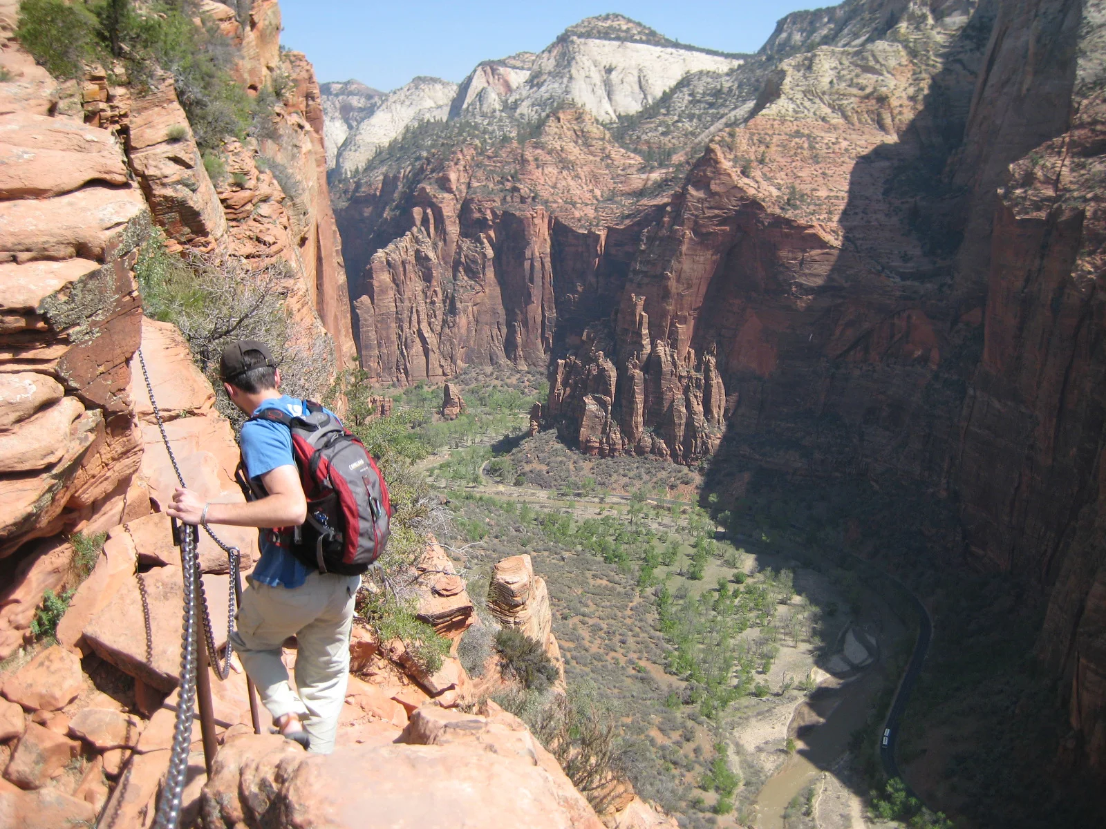
A steep trail climbs Walter’s Wiggles and an exposed chain-protected fin above Zion Canyon.
Explore this place
Limestone canyons, waterfalls and a long shipwreck coast define a large island in the Gulf of St Lawrence.
Explore this place
River beaches, wetlands and gallery forest protect the northern end of Bananal Island.
Explore this place