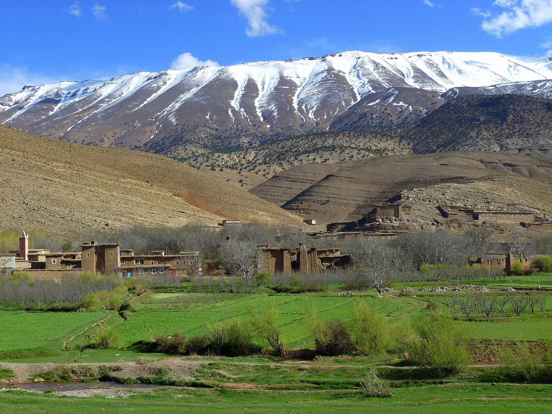
Fields and towns inside the desert

Dakhla Oasis

A chain of cultivated settlements, mud-brick towns, hot springs and archaeological sites set within Egypt's vast Western Desert.

OasisMud-brick townsDesert archaeology

Location
Western Desert, Egypt
Best window
Oct-Apr
Suggested stay
3-5 days
Go for
Layered oasis road trip
The reason to go

An oasis large enough to contain many histories

Dakhla is not a single palm grove but a long inhabited basin where ancient temples, medieval lanes, modern farms and desert escarpments reveal repeated adaptation to groundwater.

Stay long enough to connect Dakhla Oasis's headline landscape with one quieter local route rather than treating it as a single viewpoint.

Look a little closer

Worth discovering

The details that make Dakhla Oasis different.

Destination view
01

Mud-brick urbanism

Al-Qasr preserves roofed lanes, carved doorways and multi-storey earthen buildings designed for shade and compact desert life.

Destination view
02

Roman frontier agriculture

Temples, settlements and irrigation remains show how the oasis became part of wider imperial food and transport systems.

Destination view
03

Water beneath hyper-arid land

Springs and wells support dense cultivation within an otherwise extremely dry regional landscape.

Photo journal

A closer look at Dakhla Oasis

4 photographs
Landscape and history

The making of Dakhla Oasis

A chain of cultivated settlements, mud-brick towns, hot springs and archaeological sites set within Egypt's vast Western Desert. The deeper story links its visible features with the people and changes behind them.

Dakhla Oasis is best approached through the relationship between its setting and its lived landscape. Dakhla is not a single palm grove but a long inhabited basin where ancient temples, medieval lanes, modern farms and desert escarpments reveal repeated adaptation to groundwater.

The strongest visual shorthand for Dakhla Oasis is the experience described as “Layered oasis road trip”. Behind it lies a more complex relationship between physical processes, settlement and the modern idea of the place as a destination. At Dakhla Oasis, allow enough time to connect Dakhla Oasis's headline landscape with one quieter local route instead of reducing Dakhla Oasis to a single viewpoint.

Continue to practical planning
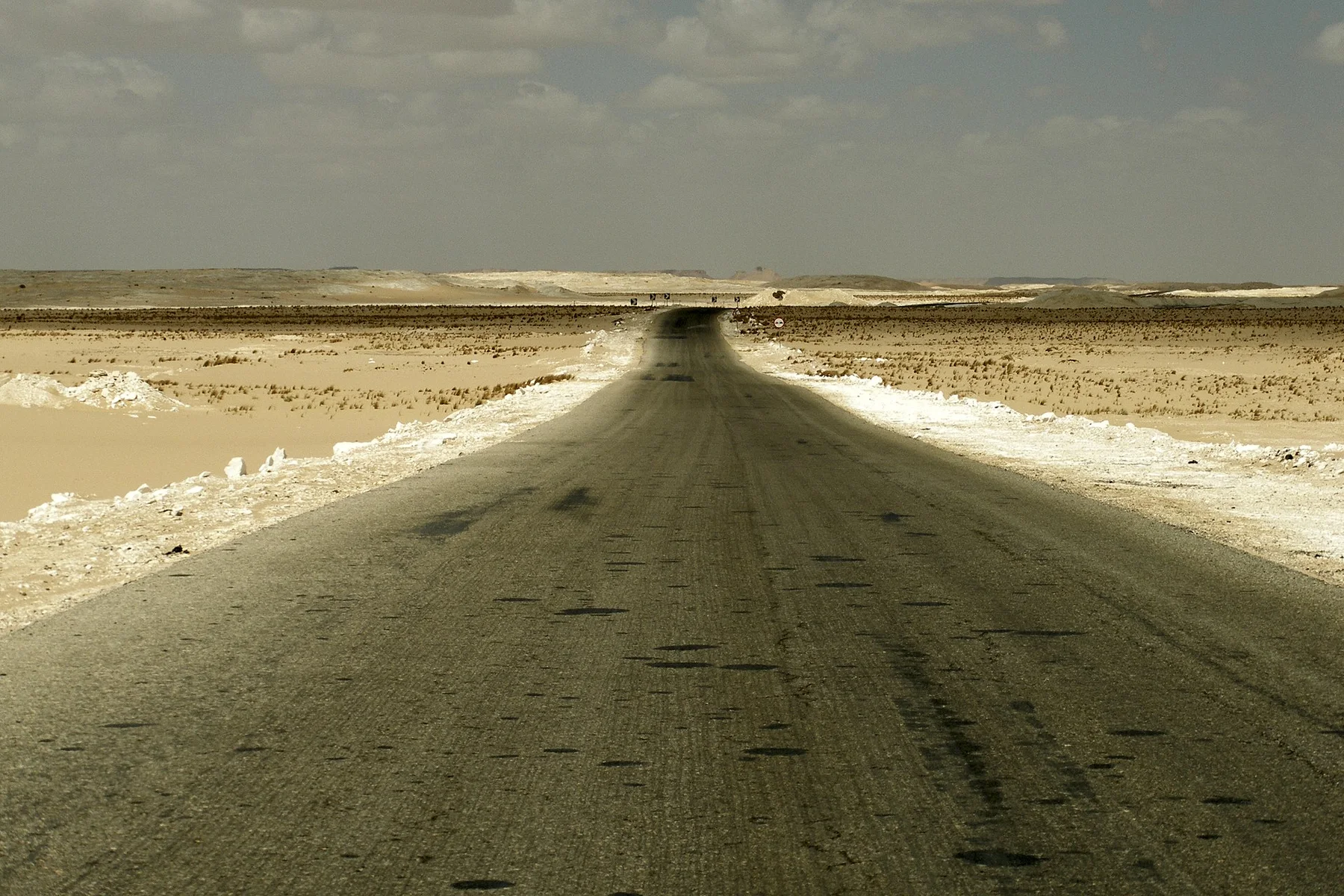
Outskirts of Dakhla, EgyptSee the complete photo journal
Origins

The forces behind the first impression

The first layer of Dakhla Oasis is geological and ecological rather than scenic. Palm gardens, irrigated fields, clay settlements and salt-edged basins sit below limestone escarpments and open desert plateaus.

Colour and form at Dakhla Oasis are the result of long physical processes. “Mud-brick urbanism” helps distinguish the underlying structure from the surface image seen in photographs. Al-Qasr preserves roofed lanes, carved doorways and multi-storey earthen buildings designed for shade and compact desert life.

Cultural landscape

The cultural layer of the place

Dakhla has supported settlement for millennia because artesian water and wells made agriculture possible deep inside Egypt's Western Desert. Pharaonic temples, Roman forts, cemeteries and administrative texts show that the oasis was integrated into Nile Valley states while remaining a caravan station on routes toward inner Africa.

Under Roman rule, fortified settlements and irrigated estates expanded. Medieval communities later built dense mud-brick towns such as Al-Qasr, where covered lanes, carved lintels and reused ancient material protected residents from heat and sand. Wells, date gardens and pottery villages preserved a locally distinct oasis economy.

Reorganisation

A landscape reorganised

Modern deep drilling, paved roads and New Valley development increased water extraction and settlement. Archaeological sites now sit beside expanding agriculture, making groundwater management central to whether Dakhla's historic landscape can survive.

Field notes

Three details that explain the whole place

Look closely at the feature “Mud-brick urbanism” in Dakhla Oasis; it carries information that a panoramic view can miss. Al-Qasr preserves roofed lanes, carved doorways and multi-storey earthen buildings designed for shade and compact desert life. Its position and condition at Dakhla Oasis connect physical history with the way people use the place now.

At Dakhla Oasis, the feature “Roman frontier agriculture” is best understood as part of the surrounding system rather than an isolated stop. Temples, settlements and irrigation remains show how the oasis became part of wider imperial food and transport systems. At Dakhla Oasis, the detail links local scale with the wider regional pattern.

At Dakhla Oasis, the feature “Water beneath hyper-arid land” is best understood as part of the surrounding system rather than an isolated stop. Springs and wells support dense cultivation within an otherwise extremely dry regional landscape. Within Dakhla Oasis, the feature explains why this destination differs from nearby landscapes.

Season and scale

The current chapter

A single visit to Dakhla Oasis captures only one phase of its annual cycle. October to April offers comfortable temperatures, with cold desert nights possible. Summer heat makes exposed archaeological and desert travel difficult.

For Dakhla Oasis, the most useful time of day is: morning in the old towns.

For Dakhla Oasis, plan this first: oasis route and desert permits.

Placed within its wider geography, Dakhla Oasis is not an isolated exception. For Dakhla Oasis, the wider context shows that, kharga, Farafra and the White Desert connect Dakhla to Egypt's broader chain of Western Desert oases and geological landscapes.

Chronology

Key dates

  1. Oasis tied to Nile states

    Temples, officials and desert routes connected Dakhla with the political economy of ancient Egypt.

  2. Forts and irrigated settlements expand

    Military posts and agricultural estates intensified occupation across the oasis.

  3. Mud-brick towns develop

    Settlements such as Al-Qasr created compact shaded urban forms adapted to desert conditions.

In context

Get to know the place

The landscape

Palm gardens, irrigated fields, clay settlements and salt-edged basins sit below limestone escarpments and open desert plateaus.

People and place

Oasis communities maintain farming, crafts and distinct settlement traditions while modern drilling and roads reshape water use and mobility.

Seasonal character

October to April offers comfortable temperatures, with cold desert nights possible. Summer heat makes exposed archaeological and desert travel difficult.

Beyond the main view

Kharga, Farafra and the White Desert connect Dakhla to Egypt's broader chain of Western Desert oases and geological landscapes.

Travel notes

Plan your visit

Time needed
3-5 days
Getting around
Car with local driver
Effort
Easy
Plan first
Oasis route and desert permits
Time of day
Morning in the old towns
Best window
Oct-Apr
Keep exploring

Where next?

All place stories