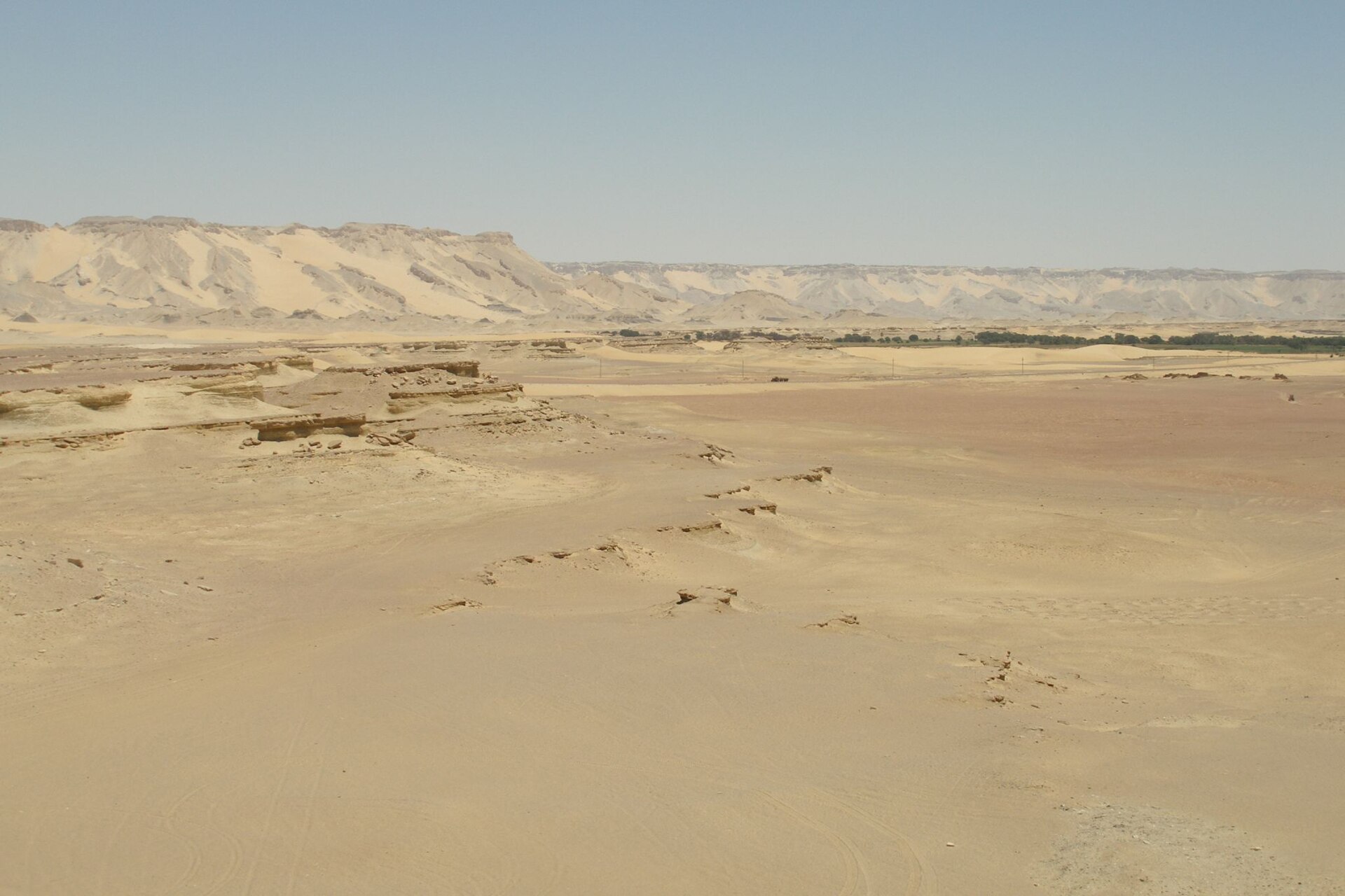
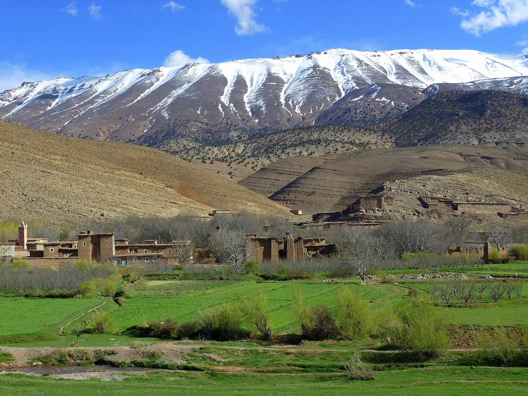
At White Desert, light, water and temperature reveal different structures at different times of year. Cooler months offer the safest temperatures, though nights can be cold. Summer heat is severe and limits daytime activity. Wind can reduce visibility and erase tracks, so desert travel should remain organized around current conditions and experienced local operators.
For White Desert, the main seasonal constraint is: the strongest planning window is Oct-Apr. For White Desert, outside it, check weather, daylight, road or ferry schedules and seasonal closures before committing to a fixed route.
For White Desert, one practical detail matters: distances, fuel, food and mobile coverage can be less predictable than the map suggests. For White Desert, carry offline maps and keep a margin in the schedule.
Placed within its wider geography, White Desert is not an isolated exception. For White Desert, the wider context shows that, the landscape is visually delicate despite its apparent emptiness. For White Desert, vehicle tracks, waste and climbing on fragile formations can leave lasting damage. For White Desert, the strongest experience comes from distance, changing light and the relationship between chalk fields and the inhabited oasis system.