See termite mounds glow with bioluminescent larvae after rain
On the right nights, points of green light cover the savanna mounds, creating one of the most unusual natural spectacles in central Brazil.
Travel in the cooler hours and confirm current access, guide requirements and security conditions before setting a fixed route.
Look a little closer
Worth discovering
The details that make Emas National Park different.
Destination view
01
Termite-mound fields
Thousands of mounds structure the open cerrado.
Destination view
02
Giant anteater habitat
Wide grassland offers good long-distance wildlife visibility.
Destination view
03
Formoso River corridor
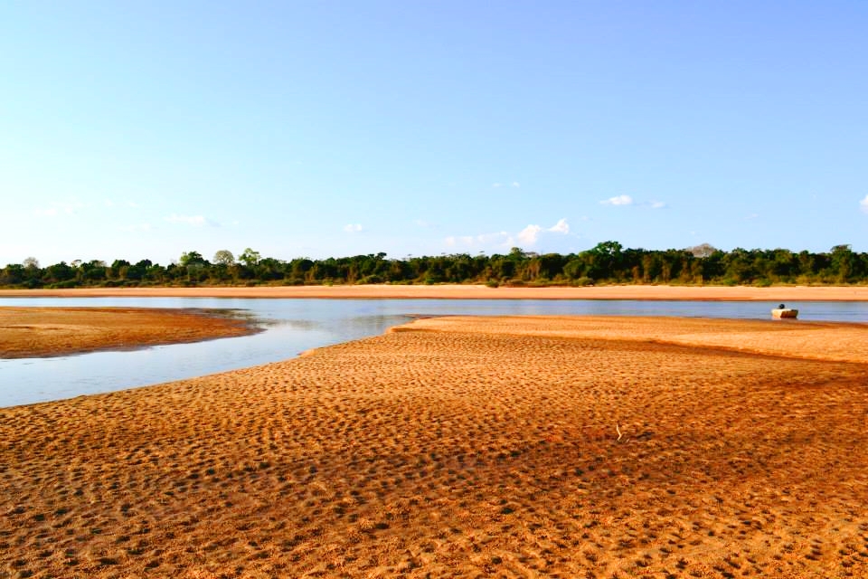
Water and gallery forest cut through the dry plateau.
Photo journal
A closer look at Emas National Park
3 photographs
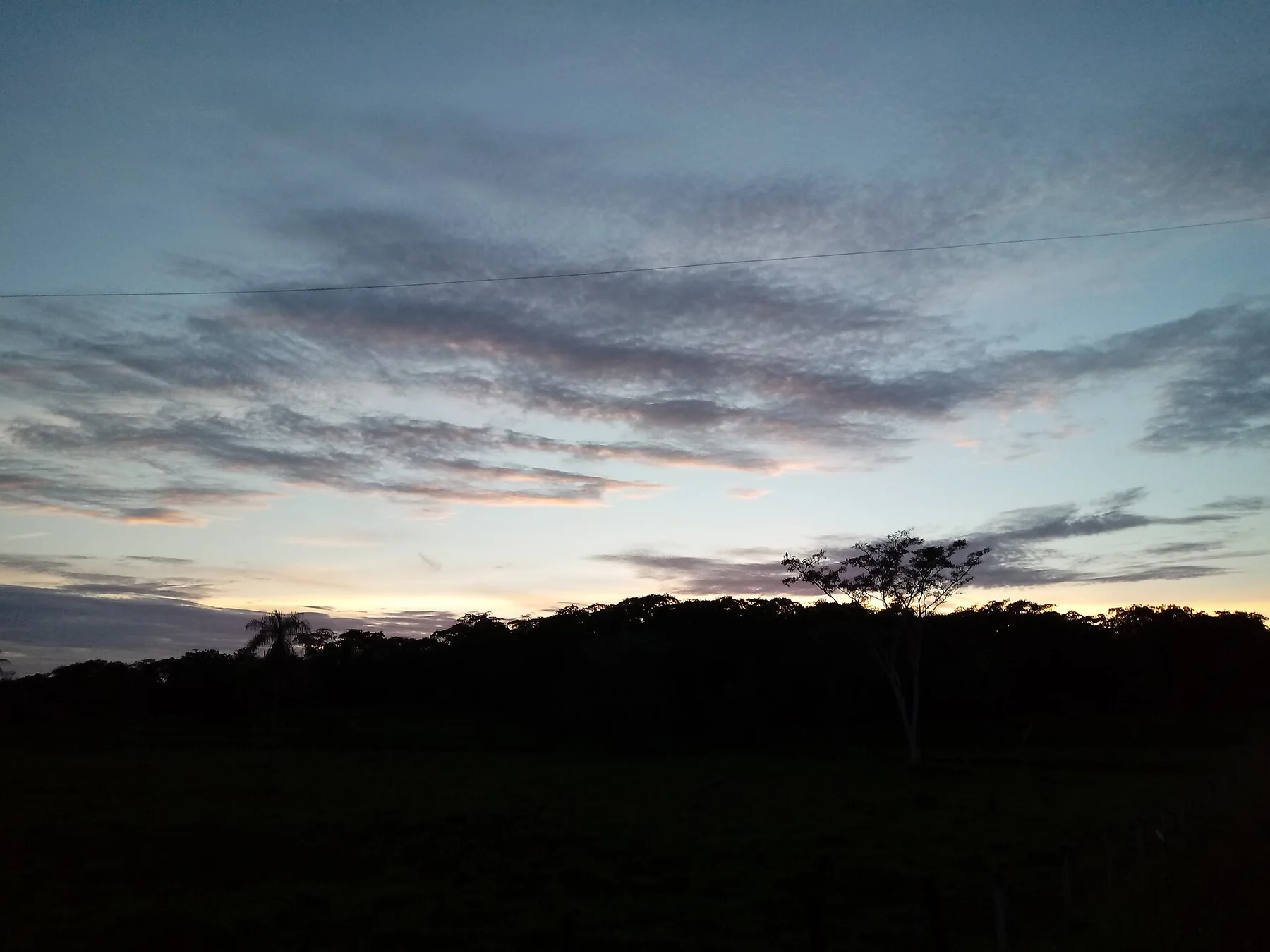
01Rio Formoso02Emas National Park — view 203Por-do-Sol sob a perspectiva de um cupinzeiro
Deep background
Emas National Park beyond the first view
Open cerrado, grassland and gallery forest protect giant anteaters, maned wolves and extraordinary termite landscapes. The view is only the surface of a longer story of formation, use and change.
4 min readGoias cerrado, Brazil
Emas National Park is centred on Goias cerrado, where open cerrado, grassland and gallery forest protect giant anteaters, maned wolves and extraordinary termite landscapes. The strongest reason to make the journey is to see termite mounds glow with bioluminescent larvae after rain.
Many visits to Emas National Park begin with the experience described as “See termite mounds glow with bioluminescent larvae after rain”. The more revealing question is why it exists here, how people used the surrounding ground and what remains visible from earlier phases. On the right nights, points of green light cover the savanna mounds, creating one of the most unusual natural spectacles in central Brazil.
The first layer of Emas National Park is geological and ecological rather than scenic. Open grassland is broken by rivers, woodland and seasonal water. Light and wildlife movement change rapidly between the cool morning, midday heat and evening.
Routes and settlements at Emas National Park follow the water system even when the map emphasises roads. “Termite-mound fields” exposes that older logic. Thousands of mounds structure the open cerrado.
02
Human history
Routes, livelihoods and belonging
The cerrado around Emas was long used by Indigenous communities and later transformed by cattle ranching and mechanised agriculture. Fire, whether natural or deliberately set, remained a fundamental ecological force in the grasslands.
The national park was created in 1961, then adjusted as Brazil's agricultural frontier expanded across Goias. Its open habitats became a refuge for giant anteaters, maned wolves and other species displaced from surrounding farmland.
03
Turning point
From local landscape to protected destination
World Heritage recognition in 2001 linked Emas with Chapada dos Veadeiros as key remnants of the cerrado. Bioluminescent termite mounds became a celebrated spectacle, but pesticide drift, roadkill and fragmented migration routes are the deeper conservation issues.
04
On the ground
The small features that reveal the larger pattern
Look closely at the feature “Termite-mound fields” in Emas National Park; it carries information that a panoramic view can miss. Thousands of mounds structure the open cerrado. Its position and condition at Emas National Park connect physical history with the way people use the place now.
Start with the feature “Giant anteater habitat”, because it condenses a much larger part of the story of Emas National Park. Wide grassland offers good long-distance wildlife visibility. At Emas National Park, the detail links local scale with the wider regional pattern.
Look closely at the feature “Formoso River corridor” in Emas National Park; it carries information that a panoramic view can miss. Water and gallery forest cut through the dry plateau. At Emas National Park, the detail links local scale with the wider regional pattern.
05
Continuity
Why the landscape still feels dynamic
Emas National Park changes through the year because weather and biological cycles rearrange what can be seen and used. For Emas National Park, the most reliable visiting window is May-Sep.
For Emas National Park, the stated visiting window is May-Sep, but its practical meaning depends on local weather, water and transport rather than the calendar alone.
Placed within its wider geography, Emas National Park is not an isolated exception. Beyond the best-known image of Emas National Park feature, Emas National Park matters because giant anteater habitat and formoso river corridor place the destination inside a broader regional story.
Chronology
Key dates
Cerrado use and burning
Communities harvested, travelled and managed an ecosystem adapted to fire.
Emas National Park created
A core of open cerrado and gallery forest received federal protection.
World Heritage inscription
The park gained recognition as part of a globally important cerrado conservation complex.
Travel notes
Plan your visit
Time needed
3-5 days
Getting around
4x4 and authorised local guide
Effort
Moderate
Plan first
Access, guide, security and seasonal road conditions
Time of day
Sunrise and late afternoon
Best window
May-Sep
Traveller stories
Stories from people who have been here.
First-hand moments, practical notes and overlooked details from Emas National Park.