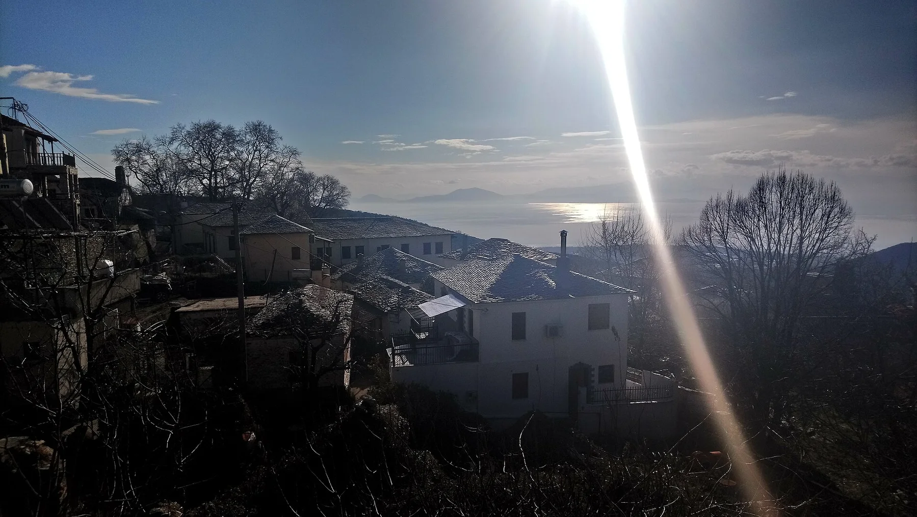
Cycladic pause

Folegandros

A compact Cycladic island where a cliff-edge town, dry-stone paths and open Aegean water create a quieter rhythm than the region's headline destinations.

Cycladic villageCliff pathsAegean coast

Location
Cyclades, Greece
Best window
Apr-Oct
Suggested stay
2-4 days
Go for
Slow island days
The reason to go

Chora and Kastro

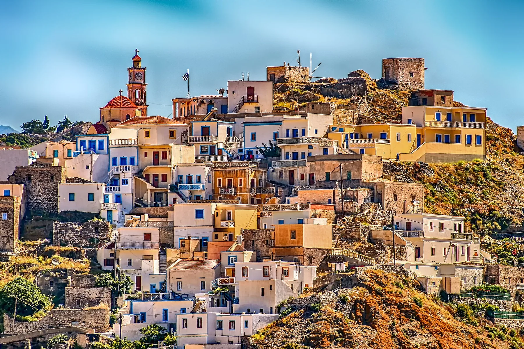
Interlinked squares, white lanes and the fortified old quarter form one of the most coherent village settings in the Cyclades.

Plan the least frequent boat, ferry or exposed coastal section first. Use early or late light and keep a weather alternative during Apr-Oct.

Look a little closer

Worth discovering

The details that make Folegandros different.

Photo journal
01

Chora and Kastro

Interlinked squares, white lanes and the fortified old quarter form one of the most coherent village settings in the Cyclades.

Photo journal
02

Panagia path

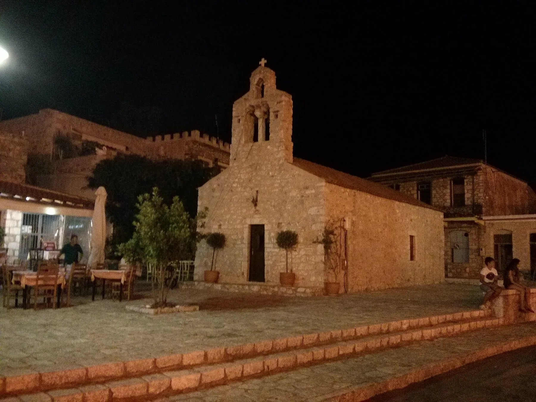
A zigzag route climbs above Chora toward a church and a broad view over the western cliffs and open sea.

Destination view
03

Ano Meria landscape

Terraces, farm compounds and small chapels reveal the island beyond its best-known village image.

Photo journal

A closer look at Folegandros

14 photographs
Deep background

How time shaped Folegandros

A compact Cycladic island where a cliff-edge town, dry-stone paths and open Aegean water create a quieter rhythm than the region's headline destinations. This account follows the forces, communities and decisions that made the present landscape.

Folegandros is a small island in the southern Cyclades, defined by a high, compact Chora and long views across the Aegean. White houses, shaded squares and narrow lanes occupy a plateau above steep coastal slopes, while the rest of the island remains open, dry and lightly settled. Its appeal comes from the way village life, walking routes and sea horizons remain close to one another.

Visitors often encounter Folegandros through the idea of “Chora and Kastro”, but the destination is more than that single scene. Its landscape carries evidence of work, movement, adaptation and environmental change. Interlinked squares, white lanes and the fortified old quarter form one of the most coherent village settings in the Cyclades.

Continue to practical planning
Cyclades Folegandros Hora Kastro Ruelle - panoramio (1)See the complete photo journal
Origins

How the landscape was assembled

The first layer of Folegandros is geological and ecological rather than scenic. The island rises sharply from the water, with bare ridges, terraced fields and coves reached by road, path or boat. Light changes the stone throughout the day, and the western cliff beneath the Church of Panagia gives the main settlement an unusually exposed setting. Beaches are generally small and separated by rugged ground rather than arranged as a continuous resort strip.

On an island, coast, altitude and exposure work together. At Folegandros, the feature described as “Chora and Kastro” shows how a short distance can separate sheltered ground from a very different ocean-facing environment. Interlinked squares, white lanes and the fortified old quarter form one of the most coherent village settings in the Cyclades.

Cultural landscape

The human landscape behind the scenery

At Folegandros, daily life gives the terrain a historical meaning that a viewpoint alone cannot provide. Chora is the social centre, with several adjoining squares, traditional houses and a medieval section known as Kastro. Ano Meria extends the inhabited landscape northward through farmsteads, dry-stone walls and small chapels. The island's scale makes the relationship between settlement, agriculture and the sea visible without turning the place into an open-air exhibit.

At Folegandros, “Panagia path” should not be treated as a decorative detail. A zigzag route climbs above Chora toward a church and a broad view over the western cliffs and open sea. The feature records how construction, movement or livelihood adapted to local conditions at Folegandros.

Change

The modern turning point

The decisive modern change at Folegandros was access. At Folegandros, transport and visitor infrastructure made the landscape easier to reach while concentrating pressure at the few points where roads, boats or trails enter it. At Folegandros, that transition remains visible in the contrast between older working features and visitor infrastructure.

Visible evidence

Three details that explain the whole place

Start with the feature “Chora and Kastro”, because it condenses a much larger part of the story of Folegandros. Interlinked squares, white lanes and the fortified old quarter form one of the most coherent village settings in the Cyclades. Its position and condition at Folegandros connect physical history with the way people use the place now.

At Folegandros, the significance of the feature “Panagia path” goes beyond its visual impact. A zigzag route climbs above Chora toward a church and a broad view over the western cliffs and open sea. For Folegandros, that relationship is more informative than treating the feature only as a photograph or checklist item.

At Folegandros, the feature “Ano Meria landscape” is best understood as part of the surrounding system rather than an isolated stop. Terraces, farm compounds and small chapels reveal the island beyond its best-known village image. At Folegandros, it gives a concrete reference point for reading change rather than merely collecting viewpoints.

Present day

Season, scale and the present day

Folegandros changes through the year because weather and biological cycles rearrange what can be seen and used. Late spring combines flowering slopes with comfortable walking conditions. Summer brings the greatest range of boat connections and open services, but July and August are naturally busier and hotter. September and early October often retain warm water while returning a calmer pace to lanes, beaches and evening squares.

For Folegandros, the main seasonal constraint is: the strongest planning window is Apr-Oct. For Folegandros, outside it, check weather, daylight, road or ferry schedules and seasonal closures before committing to a fixed route.

For Folegandros, one practical detail matters: wind, sea state and tide can matter as much as distance. For Folegandros, check conditions before boat trips, exposed cliffs or tidal sections.

Placed within its wider geography, Folegandros is not an isolated exception. Folegandros belongs to the same Cycladic world as Santorini, Milos and Sikinos, yet its smaller settlement pattern and limited road network produce a different experience. For Folegandros, it works best as part of a slower island sequence rather than as a checklist of isolated viewpoints.
Travel notes

Plan your visit

Time needed
2-4 days
Getting around
Car or local transport, plus coastal walks and occasional boat links
Effort
Moderate
Plan first
Accommodation and seasonal transport
Time of day
Morning for movement; late light for viewpoints
Best window
Apr-Oct
Traveller stories

Stories from people who have been here.

First-hand moments, practical notes and overlooked details from Folegandros.

Loading traveller stories…

Browse all traveller stories ↗

Keep exploring

Where next?

All place stories