Dig for hourglass selenite crystals in the designated area
The crystals include sand in a pattern found in very few places, turning a flat white landscape into a hands-on geological experience.
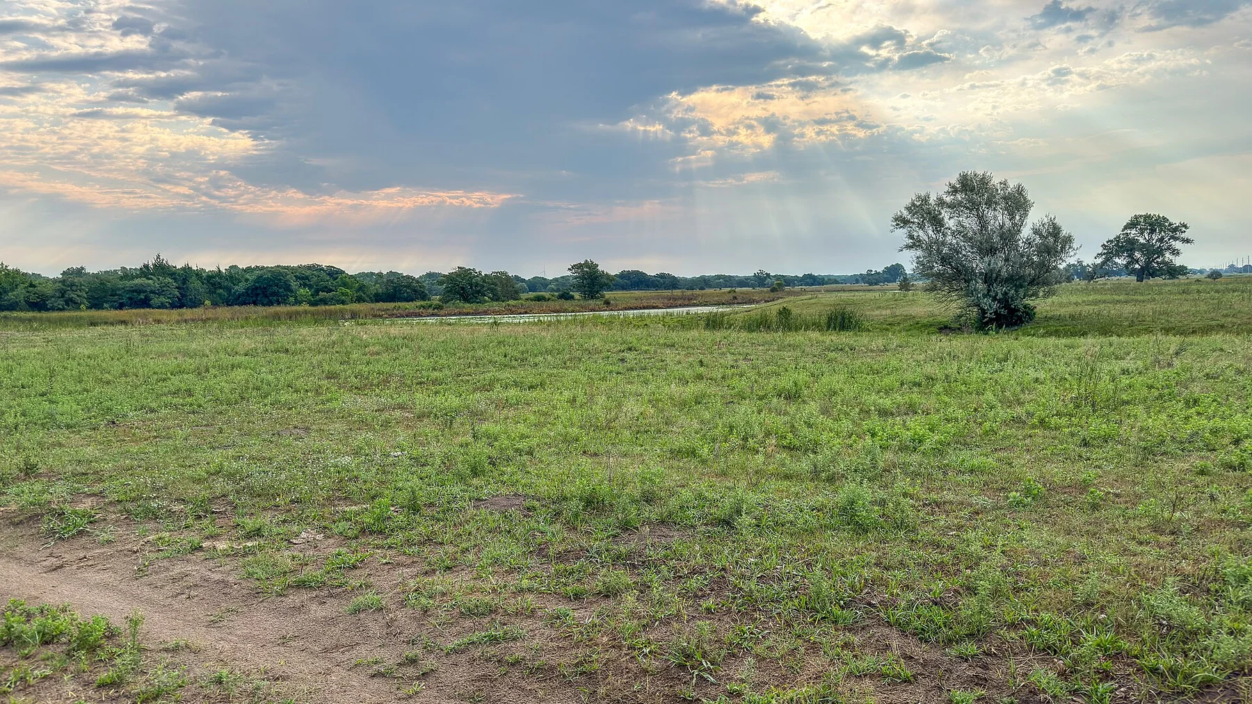
Use sunrise or the final two hours of light, when relief, wildlife and grass colour become much easier to read.
Look a little closer
Worth discovering
The details that make Great Salt Plains different.
Destination view
01
Crystal digging area
Seasonal access allows visitors to search for selenite.
Destination view
02
Salt-flat horizon
The white surface creates a stark open landscape.
Destination view
03
Migratory-bird refuge
Shallow water attracts large seasonal flocks.
Photo journal
A closer look at Great Salt Plains
4 photographs
01Gips Sanduhr - Great Salt Plains, Oklahoma, USA02USACE Great Salt Plains Dam03Gypsum (Quaternary; Great Salt Plains, Oklahoma, USA) (33665432653)04Route of the Mormon pioneers from Nauvoo to Great Salt Lake, Feb'y 1846-July 1847. - DPLA - 249f8b31fbb79f67680b05a55660a501
The full story
Great Salt Plains beyond the first view
A bright salt flat and shallow reservoir occupy the remains of an ancient inland sea. The deeper story links its visible features with the people and changes behind them.
4 min readNorthwestern Oklahoma, United States
Great Salt Plains is centred on Northwestern Oklahoma, where a bright salt flat and shallow reservoir occupy the remains of an ancient inland sea. The strongest reason to make the journey is to dig for hourglass selenite crystals in the designated area.
Many visits to Great Salt Plains begin with the experience described as “Dig for hourglass selenite crystals in the designated area”. The more revealing question is why it exists here, how people used the surrounding ground and what remains visible from earlier phases. The crystals include sand in a pattern found in very few places, turning a flat white landscape into a hands-on geological experience.
Route of the Mormon pioneers from Nauvoo to Great Salt Lake, Feb'y 1846-July 1847. - DPLA - 249f8b31fbb79f67680b05a55660a501See the complete photo journal
01
Landform
The physical foundations of the place
At Great Salt Plains, the form of the landscape explains many of the choices that came later. The terrain is subtle rather than flat: long ridges, coulees, dunes and river breaks become visible with low light and slow travel. Wildlife often provides the main sense of scale.
The landscape of Great Salt Plains can look static, yet wind, runoff and temperature continue to reshape it. “Crystal digging area” is a concise example of that ongoing change. Seasonal access allows visitors to search for selenite.
02
Settlement and memory
The human landscape behind the scenery
The salt flats were an important resource and meeting area for Indigenous peoples who collected salt and travelled across the southern Plains. The flats later lay within the Cherokee Outlet before federal allotment and settler occupation.
A dam completed in the twentieth century created Great Salt Plains Lake, and a national wildlife refuge protected the saline wetlands. Visitors now dig for hourglass-shaped selenite crystals in a designated area that was once used for wartime bombing practice.
03
Turning point
A landscape reorganised
Water control transformed the hydrology, while refuge management turned salt extraction and crystal collecting into regulated public activities. The landscape combines Indigenous resource history, federal engineering and wildlife conservation.
04
On the ground
What to read in the landscape
At Great Salt Plains, the feature “Crystal digging area” is best understood as part of the surrounding system rather than an isolated stop. Seasonal access allows visitors to search for selenite. At Great Salt Plains, it gives a concrete reference point for reading change rather than merely collecting viewpoints.
Start with the feature “Salt-flat horizon”, because it condenses a much larger part of the story of Great Salt Plains. The white surface creates a stark open landscape. At Great Salt Plains, the detail links local scale with the wider regional pattern.
Start with the feature “Migratory-bird refuge”, because it condenses a much larger part of the story of Great Salt Plains. Shallow water attracts large seasonal flocks. Its position and condition at Great Salt Plains connect physical history with the way people use the place now.
05
Present day
A living landscape, not a frozen scene
Great Salt Plains changes through the year because weather and biological cycles rearrange what can be seen and used. For Great Salt Plains, the most reliable visiting window is Mar-Oct.
For Great Salt Plains, the stated visiting window is Mar-Oct, but its practical meaning depends on local weather, water and transport rather than the calendar alone.
Placed within its wider geography, Great Salt Plains is not an isolated exception. Beyond the best-known image of Great Salt Plains feature, Great Salt Plains matters because salt-flat horizon and migratory-bird refuge place the destination inside a broader regional story.
Chronology
Key dates
Salt gathering and exchange
The exposed flats supplied a valuable mineral across regional trade networks.
Dam and military use
Federal projects altered water levels and used parts of the flats for training.
Wildlife refuge and crystal digging
Protection and controlled recreation redefined public access.
Travel notes
Plan your visit
Time needed
2-3 days
Getting around
Car, scenic roads and walking trails
Effort
Easy to moderate
Plan first
Accommodation, fuel and wildlife conditions
Time of day
Sunrise and the final hours of light
Best window
Mar-Oct
Traveller stories
Stories from people who have been here.
First-hand moments, practical notes and overlooked details from Great Salt Plains.