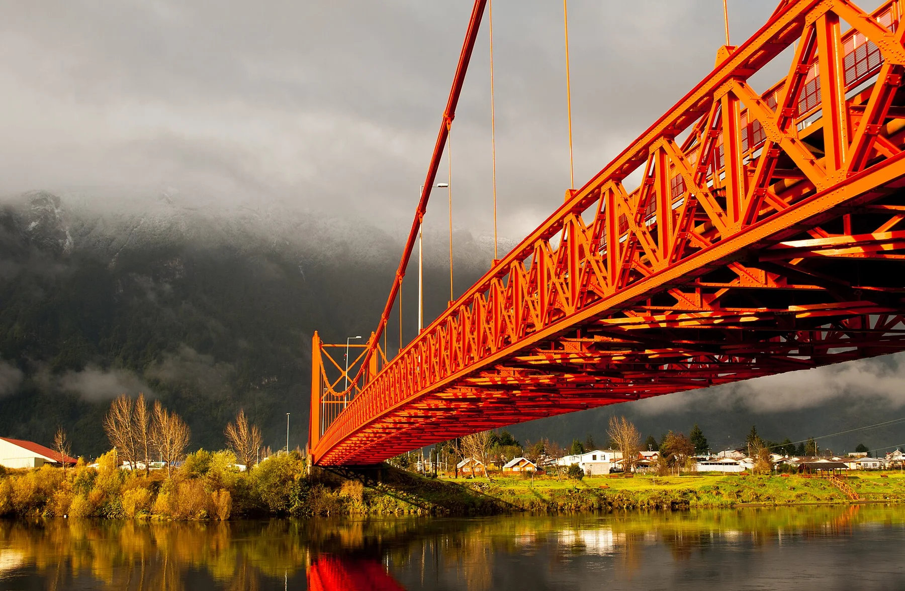
Northern Patagonian forest

Huilo Huilo

A temperate rainforest and volcanic landscape in northern Patagonia, crossed by rivers, waterfalls and former forestry settlements near the Andes.

Temperate rainforestWaterfallsPatagonian Andes

Location
Los Rios, Chile
Best window
Oct-Apr
Suggested stay
2-4 days
Go for
Rainforest and volcanoes
The reason to go

Huilo Huilo waterfall

A powerful river drop is reached through dense temperate rainforest near the main reserve area.

Arrange a local guide or boat where appropriate and use the first or final hours of daylight, when water, wildlife and temperature usually make the experience strongest.

Look a little closer

Worth discovering

The details that make Huilo Huilo different.

Photo journal
01

Huilo Huilo waterfall

A powerful river drop is reached through dense temperate rainforest near the main reserve area.

Destination view
02

Mocho-Choshuenco

The volcanic massif rises above the forest and provides the region's dominant high-altitude form.

Photo journal
03

Neltume landscape

A former forestry town adds industrial and community history to the surrounding conservation narrative.

Photo journal

A closer look at Huilo Huilo

15 photographs
Deep background

How Huilo Huilo became the place it is

A temperate rainforest and volcanic landscape in northern Patagonia, crossed by rivers, waterfalls and former forestry settlements near the Andes. Its character becomes clearer when geology, settlement and modern protection are considered together.

Huilo Huilo lies in the Andean foothills of Chile's Los Rios Region, around the upper Fuy and Neltume river system. Dense temperate rainforest, volcanic peaks and powerful waterfalls define the landscape. Nearby settlements have histories connected to forestry, and conservation-based tourism now forms an important part of the regional economy.

The strongest visual shorthand for Huilo Huilo is the experience described as “Huilo Huilo waterfall”. Behind it lies a more complex relationship between physical processes, settlement and the modern idea of the place as a destination. A powerful river drop is reached through dense temperate rainforest near the main reserve area.

Continue to practical planning
Arboles NevadosSee the complete photo journal
Landform

From underlying structure to visible landscape

Understanding Huilo Huilo starts below the visible surface. Coigue, lenga and other southern forests cover wet slopes beneath the Mocho-Choshuenco volcanic complex. Rivers pass through narrow channels and drop over basalt ledges, while lakes and high viewpoints open the terrain beyond the trees. Rain is a structural feature of the ecosystem, not an interruption to it.

Routes and settlements at Huilo Huilo follow the water system even when the map emphasises roads. “Huilo Huilo waterfall” exposes that older logic. A powerful river drop is reached through dense temperate rainforest near the main reserve area.

Human history

How people learned to live here

At Huilo Huilo, daily life gives the terrain a historical meaning that a viewpoint alone cannot provide. Neltume and Puerto Fuy reflect the area's industrial and transport history, while Mapuche communities maintain cultural ties across the wider region. Lodges and distinctive architecture have increased the destination's profile, but village streets, former forestry infrastructure and local services remain part of the setting.

A close look at “Mocho-Choshuenco” makes the cultural layer of Huilo Huilo more concrete. The volcanic massif rises above the forest and provides the region's dominant high-altitude form. At Huilo Huilo, the surviving form links present-day identity with earlier work and settlement.

Modern history

What altered the old balance

Formal protection changed how Huilo Huilo was described and managed. At Huilo Huilo, new boundaries, visitor rules and conservation priorities created a public identity that still has to coexist with settlements, customary use and economic pressures. At Huilo Huilo, that transition remains visible in the contrast between older working features and visitor infrastructure.

Visible evidence

Landmarks that carry the deeper story

At Huilo Huilo, the feature “Huilo Huilo waterfall” is one of the most useful pieces of visible evidence. A powerful river drop is reached through dense temperate rainforest near the main reserve area. For Huilo Huilo, that relationship is more informative than treating the feature only as a photograph or checklist item.

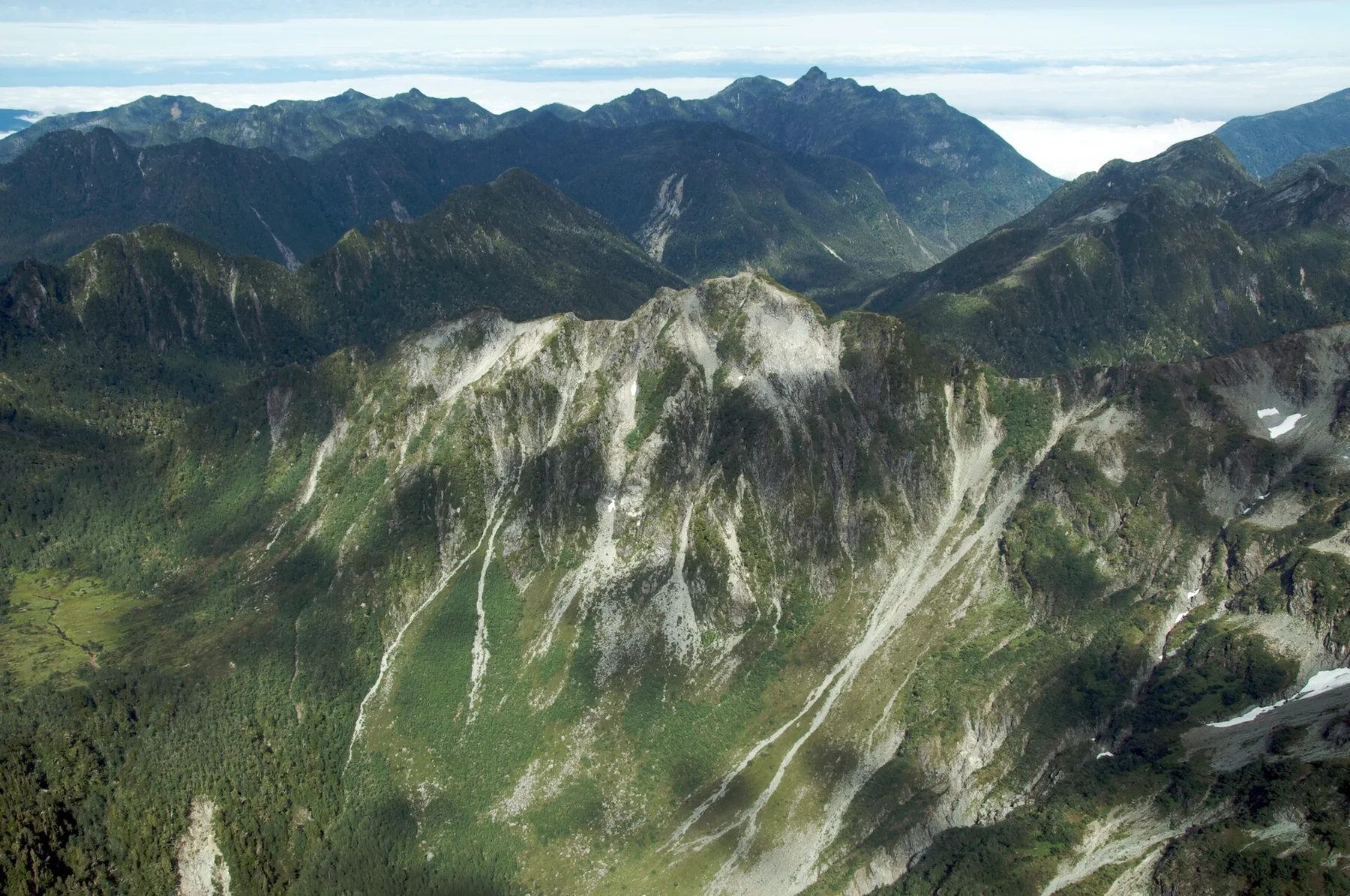
At Huilo Huilo, the feature “Mocho-Choshuenco” provides a precise clue to how the landscape works. The volcanic massif rises above the forest and provides the region's dominant high-altitude form. Its position and condition at Huilo Huilo connect physical history with the way people use the place now.

At Huilo Huilo, the feature “Neltume landscape” is best understood as part of the surrounding system rather than an isolated stop. A former forestry town adds industrial and community history to the surrounding conservation narrative. At Huilo Huilo, it gives a concrete reference point for reading change rather than merely collecting viewpoints.

Continuity

Why the landscape still feels dynamic

At Huilo Huilo, season is part of the landscape history, not merely a planning detail. Late spring and summer provide longer daylight and the widest access to trails, lakes and mountain roads. Autumn adds strong forest colour and a quieter atmosphere. Winter brings heavy rain or snow, limiting some routes while intensifying rivers and waterfalls.

For Huilo Huilo, the main seasonal constraint is: the strongest planning window is Oct-Apr. For Huilo Huilo, outside it, check weather, daylight, road or ferry schedules and seasonal closures before committing to a fixed route.

For Huilo Huilo, one practical detail matters: cloud, wind and trail conditions can change quickly. For Huilo Huilo, put the highest or most exposed stop first and keep a lower-level alternative.

Placed within its wider geography, Huilo Huilo is not an isolated exception. For Huilo Huilo, the wider context shows that, the reserve connects naturally with Panguipulli's lakes, the Hua Hum pass toward Argentina and the northern Patagonian Andes. For Huilo Huilo, exploring beyond the central visitor sites helps place the forest within a larger inhabited border landscape.
Travel notes

Plan your visit

Time needed
2-4 days
Getting around
Car to access points, then walking or hiking
Effort
Moderate
Plan first
Accommodation and seasonal transport
Time of day
Start early for clearer conditions and more time
Best window
Oct-Apr
Traveller stories

Stories from people who have been here.

First-hand moments, practical notes and overlooked details from Huilo Huilo.

Loading traveller stories…

Browse all traveller stories ↗

Keep exploring

Where next?

All place stories