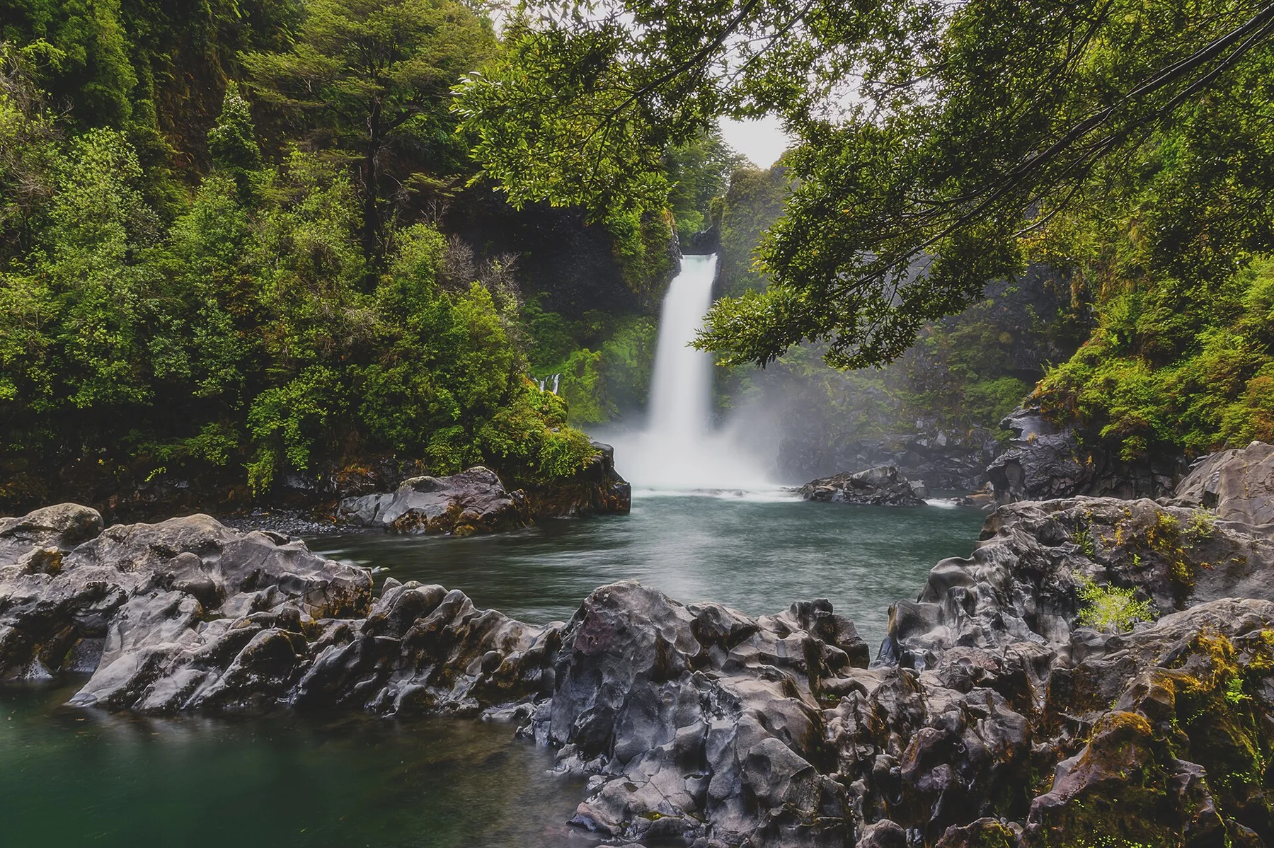
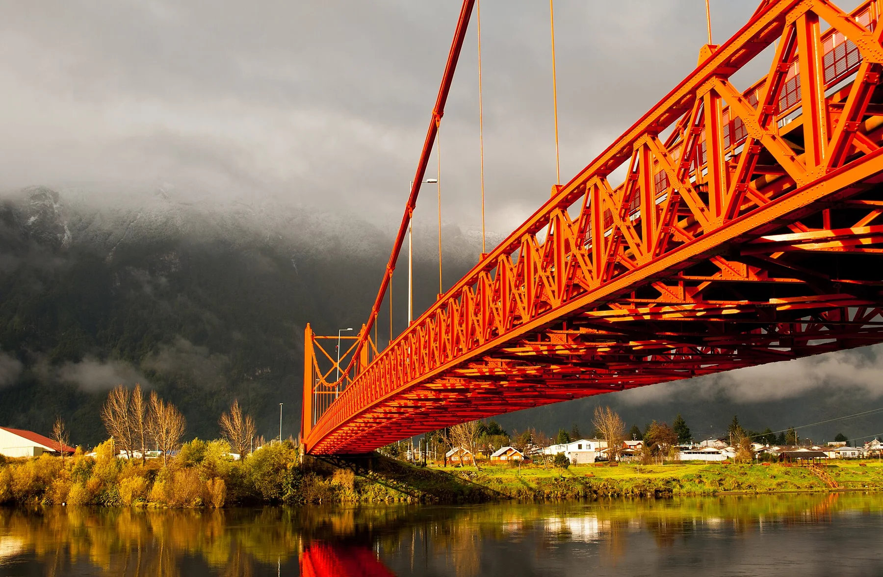
Pumalin Douglas Tompkins National Park changes through the year because weather and biological cycles rearrange what can be seen and used. Summer is the most practical period for road access, ferries and longer walks. Rain remains frequent because of the maritime climate, and shoulder seasons can bring rapidly changing conditions.
For Pumalin Douglas Tompkins National Park, the main seasonal constraint is: the strongest planning window is Dec-Mar. For Pumalin Douglas Tompkins National Park, outside it, check weather, daylight, road or ferry schedules and seasonal closures before committing to a fixed route.
For Pumalin Douglas Tompkins National Park, one practical detail matters: distances, fuel, food and mobile coverage can be less predictable than the map suggests. For Pumalin Douglas Tompkins National Park, carry offline maps and keep a margin in the schedule.
Placed within its wider geography, Pumalin Douglas Tompkins National Park is not an isolated exception. For Pumalin Douglas Tompkins National Park, the wider context shows that, pumalin connects Chaiten, Hornopiren and the fjord systems of northern Aysen. For Pumalin Douglas Tompkins National Park, it forms part of a larger chain of protected Patagonian landscapes extending far beyond the park boundaries.