Wet Patagonia

Queulat

Temperate rainforest, fjords and a hanging glacier converge along one of the greenest sections of Chilean Patagonia.

Hanging glacierTemperate rainforestPatagonian fjords

Location
Aysen, Chile
Best window
Dec-Mar
Suggested stay
3-5 days
Go for
Rainforest and glacier road trip
The reason to go

Patagonia compressed from ice to sea level

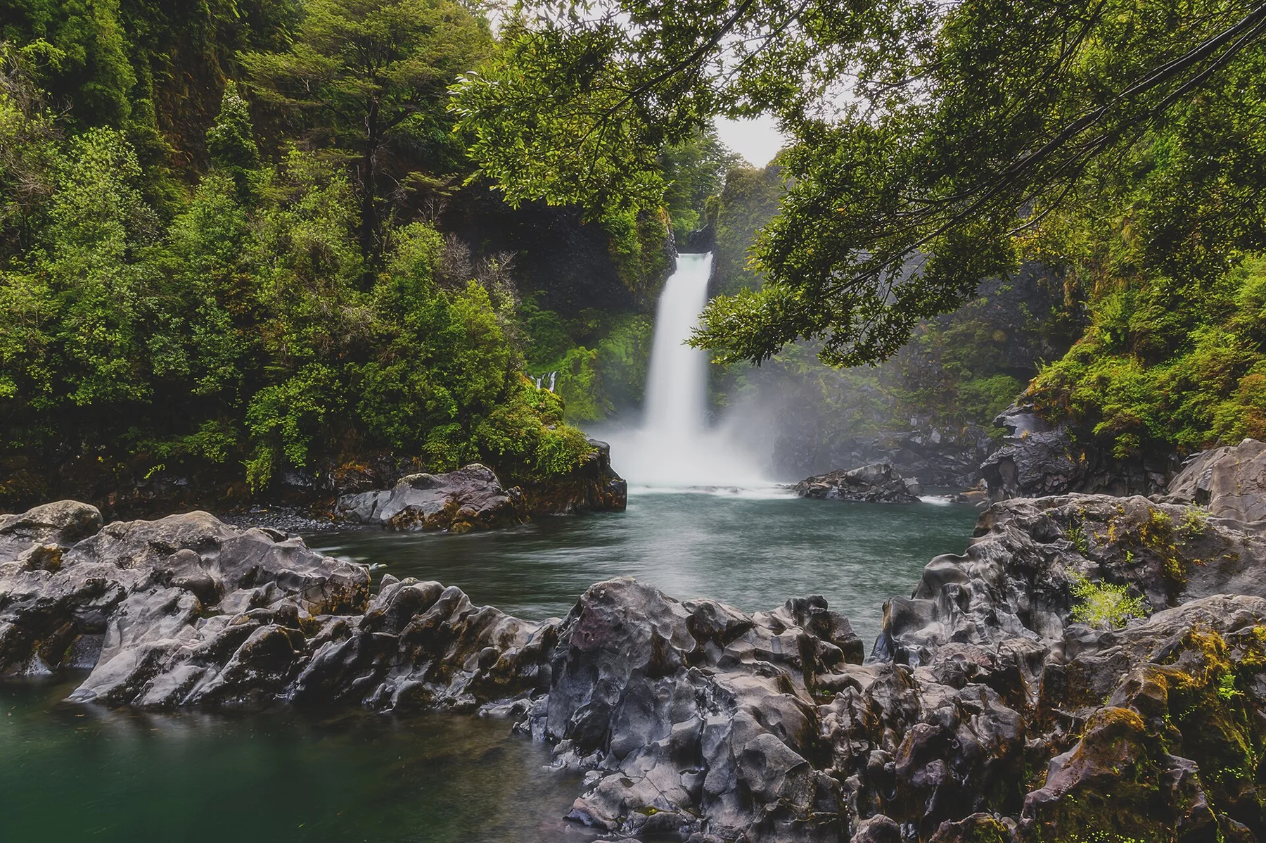
A hanging glacier drops meltwater from a steep forested valley wall.

Plan the least frequent boat, ferry or exposed coastal section first. Use early or late light and keep a weather alternative during Dec-Mar.

Stay long enough to connect Queulat's headline landscape with one quieter local route rather than treating it as a single viewpoint.

Look a little closer

Worth discovering

The details that make Queulat different.

Photo journal
01

Ventisquero Colgante

A hanging glacier drops meltwater from a steep forested valley wall.

Destination view
02

Carretera Austral

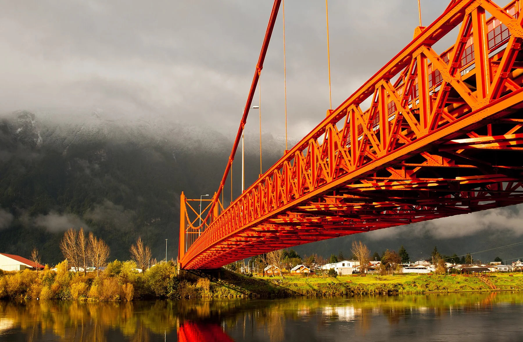
The road provides a slow cross-section through rainforest, rivers and fjord landscapes.

Photo journal
03

Puyuhuapi fjord

A small settlement and long inlet show how people occupy this wet, steep terrain.

Photo journal

A closer look at Queulat

10 photographs
Origins and change

A deeper history of Queulat

Temperate rainforest, fjords and a hanging glacier converge along one of the greenest sections of Chilean Patagonia. The deeper story links its visible features with the people and changes behind them.

Queulat National Park lies along the Carretera Austral in northern Aysen, where extremely wet temperate rainforest climbs toward ice-covered mountains. The landscape is compressed between steep valleys, fjords and a road that remains the main line of access.

The familiar invitation at Queulat is “Ventisquero Colgante”, yet that image makes more sense when it is connected to the landform, the local economy and the changes that determined access. A hanging glacier drops meltwater from a steep forested valley wall.

Continue to practical planning
Queulat 06See the complete photo journal
Natural history

How the landscape was assembled

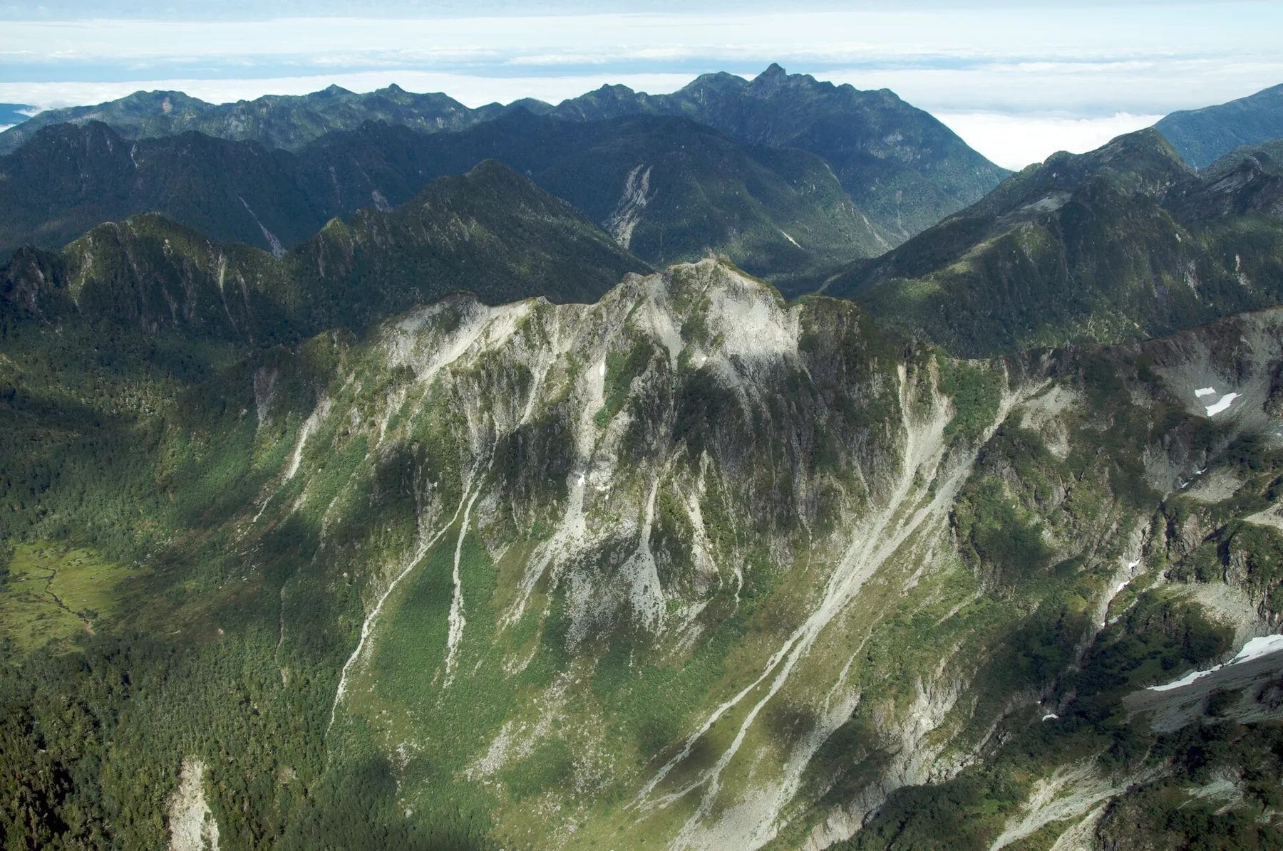
Understanding Queulat starts below the visible surface. Dense evergreen forest surrounds rivers and lakes below glaciated ridges. The Ventisquero Colgante hangs high above a valley wall, sending meltwater into waterfalls and giving visible form to the connection between ice and rainforest.

The visible shoreline or channel at Queulat is only one stage in a larger cycle. “Ventisquero Colgante” demonstrates how flow, season and terrain interact. A hanging glacier drops meltwater from a steep forested valley wall.

Human history

The cultural layer of the place

At Queulat, people learned to work with the landscape limits rather than arriving after its story was complete. Roadside settlements are sparse, and most services are concentrated in small communities such as Puyuhuapi. The region’s travel pattern remains strongly shaped by ferry connections, long road distances and weather.

The role of “Carretera Austral” is especially revealing at Queulat. The road provides a slow cross-section through rainforest, rivers and fjord landscapes. In the history of Queulat, it connects the wider regional context with a specific place that can still be examined today.

Change

From local landscape to protected destination

Formal protection changed how Queulat was described and managed. At Queulat, new boundaries, visitor rules and conservation priorities created a public identity that still has to coexist with settlements, customary use and economic pressures. At Queulat, the consequences are clearest where traditional use, protection and tourism occupy the same ground.

Field notes

The evidence still visible on the ground

Start with the feature “Ventisquero Colgante”, because it condenses a much larger part of the story of Queulat. A hanging glacier drops meltwater from a steep forested valley wall. For Queulat, that relationship is more informative than treating the feature only as a photograph or checklist item.

At Queulat, the feature “Carretera Austral” is best understood as part of the surrounding system rather than an isolated stop. The road provides a slow cross-section through rainforest, rivers and fjord landscapes. For Queulat, that relationship is more informative than treating the feature only as a photograph or checklist item.

Start with the feature “Puyuhuapi fjord”, because it condenses a much larger part of the story of Queulat. A small settlement and long inlet show how people occupy this wet, steep terrain. Within Queulat, it is both an attraction and a record of the processes described above.

Living landscape

The place within its wider region

At Queulat, light, water and temperature reveal different structures at different times of year. Summer offers the longest daylight and most reliable road conditions, though rain is common even then. Shoulder seasons can be quieter but bring colder temperatures and more variable access.

For Queulat, the main seasonal constraint is: the strongest planning window is Dec-Mar. For Queulat, outside it, check weather, daylight, road or ferry schedules and seasonal closures before committing to a fixed route.

For Queulat, one practical detail matters: cloud, wind and trail conditions can change quickly. For Queulat, put the highest or most exposed stop first and keep a lower-level alternative.

Placed within its wider geography, Queulat is not an isolated exception. Queulat links Puyuhuapi, the fjords of northern Aysen and the wider Carretera Austral corridor. For Queulat, continuing south or north reveals how glaciers, forest and marine inlets repeat across a much larger Patagonian system.
In context

Get to know the place

The landscape

Glaciated mountains, waterfalls, fjords, rivers and dense evergreen forest form a narrow, steep and exceptionally wet Patagonian corridor.

People and place

Small settlements, road crews, fishing communities and park services occupy a landscape where weather and transport continue to govern daily life.

Seasonal character

Austral summer offers the longest daylight and best road access, but rain is possible at any time. Shoulder seasons are quieter and less predictable.

Beyond the main view

Puyuhuapi, the fjords and the wider Carretera Austral connect Queulat to hot springs, coastal travel and other northern Patagonian parks.

Travel notes

Plan your visit

Time needed
3-5 days
Getting around
Car or bus and hiking
Effort
Moderate to demanding
Plan first
Access conditions, permits or a local guide
Time of day
Early start for glacier visibility
Best window
Dec-Mar
Traveller stories

Stories from people who have been here.

First-hand moments, practical notes and overlooked details from Queulat.

Loading traveller stories…

Browse all traveller stories ↗

Keep exploring

Where next?

All place stories