Corcovado forest
Large tracts of lowland rainforest support an unusually complete tropical ecosystem.
Plan the least frequent boat, ferry or exposed coastal section first. Use early or late light and keep a weather alternative during Dec-Apr.
Lowland rainforest, mangroves, wild beaches and the sheltered Golfo Dulce meet on one of Central America's most biologically rich peninsulas.
Large tracts of lowland rainforest support an unusually complete tropical ecosystem.
Plan the least frequent boat, ferry or exposed coastal section first. Use early or late light and keep a weather alternative during Dec-Apr.
The details that make Osa Peninsula different.
Large tracts of lowland rainforest support an unusually complete tropical ecosystem.
A deep tropical gulf creates sheltered marine conditions distinct from the open Pacific coast.
Beaches, river mouths and forest edges remain closely connected along long sections of the peninsula.
Lowland rainforest, mangroves, wild beaches and the sheltered Golfo Dulce meet on one of Central America's most biologically rich peninsulas. The view is only the surface of a longer story of formation, use and change.
The Osa Peninsula projects into Costa Rica's southern Pacific as a largely forested landmass bordered by open ocean and the deep Golfo Dulce. Corcovado National Park protects much of the interior, where lowland rainforest, rivers, wetlands and beaches form a continuous ecological gradient.
The strongest visual shorthand for Osa Peninsula is the experience described as “Corcovado forest”. Behind it lies a more complex relationship between physical processes, settlement and the modern idea of the place as a destination. Large tracts of lowland rainforest support an unusually complete tropical ecosystem.
Continue to practical planningUnderstanding Osa Peninsula starts below the visible surface. Heavy rainfall feeds short rivers that cross forest and reach undeveloped stretches of coast. Mangroves occupy sheltered margins, while the western side faces strong Pacific surf. The peninsula's isolation and habitat continuity support an exceptional range of wildlife.
The map understates the role of the sea. At Osa Peninsula, “Corcovado forest” makes clear that water is both a boundary and the route through which settlements, wildlife and outside connections developed. Large tracts of lowland rainforest support an unusually complete tropical ecosystem.
The cultural layer of Osa Peninsula is easiest to read in homes, fields, paths and local institutions. Puerto Jimenez, Drake Bay and smaller communities provide access and local services. Gold mining, agriculture, conservation and tourism have all shaped recent history. Community livelihoods remain closely tied to decisions about forest protection, fisheries and development.
The role of “Golfo Dulce” is especially revealing at Osa Peninsula. A deep tropical gulf creates sheltered marine conditions distinct from the open Pacific coast. In the history of Osa Peninsula, it connects the wider regional context with a specific place that can still be examined today.
Formal protection changed how Osa Peninsula was described and managed. At Osa Peninsula, new boundaries, visitor rules and conservation priorities created a public identity that still has to coexist with settlements, customary use and economic pressures. At Osa Peninsula, the current visitor experience is the newest layer rather than the whole history.
At Osa Peninsula, the significance of the feature “Corcovado forest” goes beyond its visual impact. Large tracts of lowland rainforest support an unusually complete tropical ecosystem. Its position and condition at Osa Peninsula connect physical history with the way people use the place now.
At Osa Peninsula, the feature “Golfo Dulce” is best understood as part of the surrounding system rather than an isolated stop. A deep tropical gulf creates sheltered marine conditions distinct from the open Pacific coast. For Osa Peninsula, that relationship is more informative than treating the feature only as a photograph or checklist item.
At Osa Peninsula, the feature “Wild shorelines” is one of the most useful pieces of visible evidence. Beaches, river mouths and forest edges remain closely connected along long sections of the peninsula. At Osa Peninsula, the detail links local scale with the wider regional pattern.
Osa Peninsula changes through the year because weather and biological cycles rearrange what can be seen and used. The drier months generally bring easier overland movement, though rainforest humidity and rain remain possible. The wet season transforms rivers and forest intensity and can restrict some routes. Marine wildlife cycles also add seasonal variation beyond rainfall alone.
For Osa Peninsula, the main seasonal constraint is: the strongest planning window is Dec-Apr. For Osa Peninsula, outside it, check weather, daylight, road or ferry schedules and seasonal closures before committing to a fixed route.
For Osa Peninsula, one practical detail matters: wind, sea state and tide can matter as much as distance. For Osa Peninsula, check conditions before boat trips, exposed cliffs or tidal sections.
Placed within its wider geography, Osa Peninsula is not an isolated exception. For Osa Peninsula, the wider context shows that, osa connects ecologically with the Golfo Dulce, Piedras Blancas and coastal areas toward Panama. For Osa Peninsula, its importance depends partly on maintaining corridors beyond the national park and balancing development across the wider southern Pacific region.
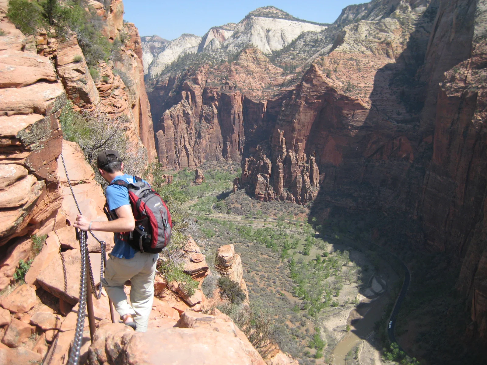
A steep trail climbs Walter’s Wiggles and an exposed chain-protected fin above Zion Canyon.
Explore this place
Limestone canyons, waterfalls and a long shipwreck coast define a large island in the Gulf of St Lawrence.
Explore this place
River beaches, wetlands and gallery forest protect the northern end of Bananal Island.
Explore this place