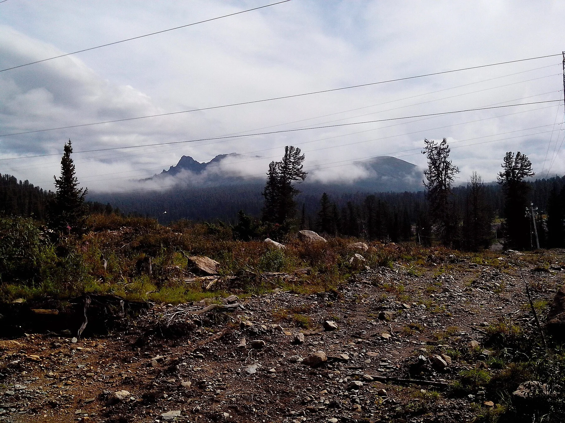
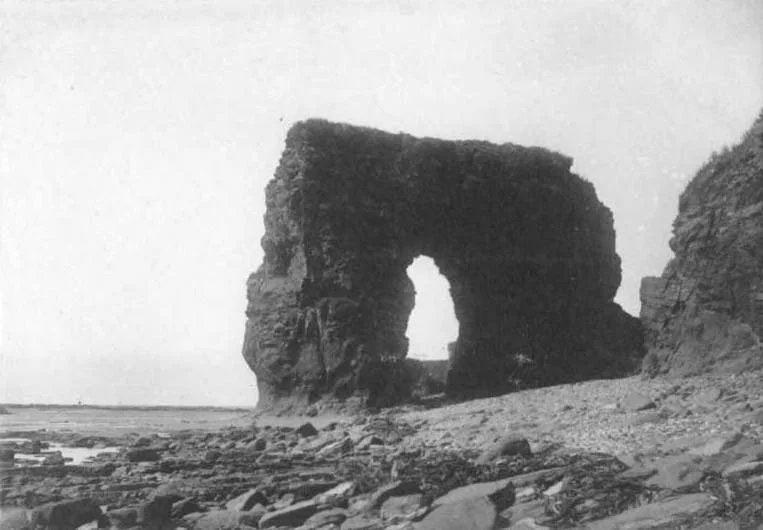
The defining experience is not a single viewpoint but the approach: cross a long plateau lake, enter a dark basalt canyon and continue on foot until several waterfall tiers appear at once.
Start early, put the exposed high point first and keep a lower route ready if cloud, wind or trail conditions change.
Look a little closer
Worth discovering
The details that make Putorana Plateau different.
Photo journal
01
Lake Lama
A long fjord-like lake is the most practical gateway into the western plateau.
Destination view
02
Talnikovy and canyon waterfalls
Seasonal and permanent falls drop from the stepped basalt tableland.
Destination view
03
Basalt escarpments
Layered volcanic rock creates walls, terraces and hanging valleys.
Photo journal
A closer look at Putorana Plateau
8 photographs
01Водопад на плато Путорана02Redstoneslake03Putorana Plateau — view 304Водопад на плато Путорана у озера Дюпкун05Native iron in basalt (Siberian Traps Flood Basalt, Permian-Triassic boundary times, 251 Ma; Putoran Plateau, Siberia, Russia) 2 (17338266745)06Redstones07Putorana. Lama lake.08Putorana3. Lama lake.
Origins and change
The landscape memory of Putorana Plateau
A vast basalt plateau cut by deep canyons, long lakes and an exceptional concentration of waterfalls. Its character becomes clearer when geology, settlement and modern protection are considered together.
4 min readKrasnoyarsk Krai, Russia
Putorana Plateau is centred on Krasnoyarsk Krai, where a vast basalt plateau cut by deep canyons, long lakes and an exceptional concentration of waterfalls. The strongest reason to make the journey is to reach a waterfall amphitheatre by boat and foot.
Visitors often encounter Putorana Plateau through the idea of “Reach a waterfall amphitheatre by boat and foot”, but the destination is more than that single scene. Its landscape carries evidence of work, movement, adaptation and environmental change. The defining experience is not a single viewpoint but the approach: cross a long plateau lake, enter a dark basalt canyon and continue on foot until several waterfall tiers appear at once.
At Putorana Plateau, the physical story begins with the structure of the ground. Ridges, valleys and changing elevation create several distinct micro-landscapes. The strongest views usually require an early start and enough time to continue beyond the first accessible viewpoint.
Altitude turns distance into effort and creates abrupt ecological boundaries. At Putorana Plateau, “Lake Lama” provides a useful reference point for understanding that vertical structure. A long fjord-like lake is the most practical gateway into the western plateau.
02
Lives and livelihoods
Settlement, movement and local knowledge
Putorana is part of the vast Siberian Traps, created by repeated flood-basalt eruptions roughly 252 million years ago. Later uplift, glaciation and river erosion cut the stacked lava layers into flat-topped massifs, stair-step canyons and long, deep lakes.
The plateau lies within the wider homelands and migration country of Evenki and other northern peoples, while its western approaches were transformed by the twentieth-century mining city of Norilsk. Reindeer routes, research stations and lake transport remain more important than roads in the interior.
03
Turning point
The change that redefined the place
Creation of the Putoransky reserve in 1988 and World Heritage listing in 2010 formalised protection of one of Eurasia's largest roadless plateaus, but access still begins through an industrial region whose pollution history contrasts sharply with the protected core.
04
Details to read
What to read in the landscape
At Putorana Plateau, the significance of the feature “Lake Lama” goes beyond its visual impact. A long fjord-like lake is the most practical gateway into the western plateau. Within Putorana Plateau, it is both an attraction and a record of the processes described above.
At Putorana Plateau, the feature “Talnikovy and canyon waterfalls” is one of the most useful pieces of visible evidence. Seasonal and permanent falls drop from the stepped basalt tableland. Its position and condition at Putorana Plateau connect physical history with the way people use the place now.
At Putorana Plateau, the significance of the feature “Basalt escarpments” goes beyond its visual impact. Layered volcanic rock creates walls, terraces and hanging valleys. Within Putorana Plateau, the feature explains why this destination differs from nearby landscapes.
05
Continuity
The current chapter
A single visit to Putorana Plateau captures only one phase of its annual cycle. For Putorana Plateau, the most reliable visiting window is Jul-Sep.
For Putorana Plateau, the stated visiting window is Jul-Sep, but its practical meaning depends on local weather, water and transport rather than the calendar alone.
Placed within its wider geography, Putorana Plateau is not an isolated exception. Beyond the best-known image of Putorana Plateau feature, Putorana Plateau matters because talnikovy and canyon waterfalls and basalt escarpments place the destination inside a broader regional story.
Chronology
Key dates
Siberian flood basalts
Enormous volcanic eruptions built the layered rock foundation of the plateau.
Norilsk opens the western gateway
Mining, aviation and lake transport changed access to a formerly remote interior.
Reserve and World Heritage protection
Formal conservation recognised the plateau's intact ecosystems, lakes and major reindeer migration route.
Travel notes
Plan your visit
Time needed
2-4 days
Getting around
Road access to trailheads, then hiking
Effort
Moderate to demanding
Plan first
Trail conditions, weather and transport to the start
Time of day
Start early for clearer conditions
Best window
Jul-Sep
Traveller stories
Stories from people who have been here.
First-hand moments, practical notes and overlooked details from Putorana Plateau.