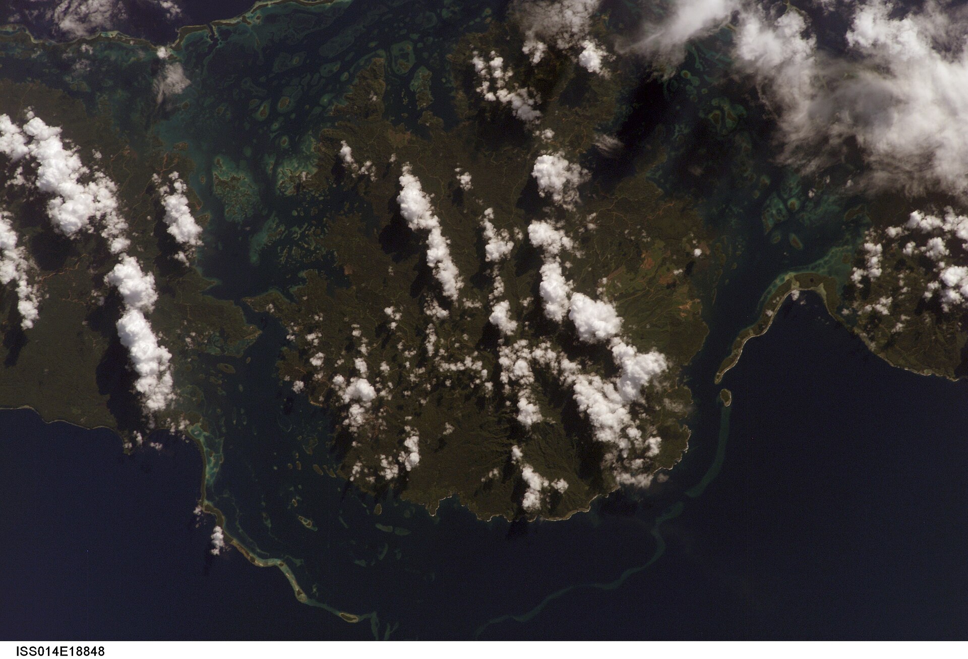
A single visit to Rennell Island captures only one phase of its annual cycle. The drier months generally improve air and road access, though rainfall remains high and flights can be unreliable. Travel requires local coordination and flexibility. Lake conditions change with wind more than tide.
For Rennell Island, the main seasonal constraint is: the strongest planning window is May-Oct. For Rennell Island, outside it, check weather, daylight, road or ferry schedules and seasonal closures before committing to a fixed route.
For Rennell Island, one practical detail matters: distances, fuel, food and mobile coverage can be less predictable than the map suggests. For Rennell Island, carry offline maps and keep a margin in the schedule.
Placed within its wider geography, Rennell Island is not an isolated exception. For Rennell Island, the wider context shows that, east Rennell is internationally recognised, but the island must be understood as a whole cultural and ecological system. For Rennell Island, its isolation, development pressures and community resilience are inseparable from the scenery.