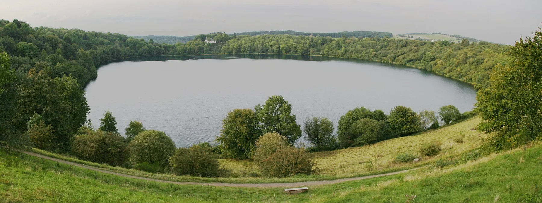
Sandstone frontier

Saxon Switzerland

Sandstone towers, forested ravines and the Elbe valley create a dramatic border landscape close to Dresden and northern Bohemia.

Rock towersElbe valleyFortress landscapes

Location
Elbe Sandstone Mountains, Germany
Best window
Apr-Oct
Suggested stay
3-5 days
Go for
Sandstone and river route
The reason to go

Bastei

A famous sandstone ridge and bridge open over the Elbe and reveal the scale of the eroded plateau.

Start early and make this the first exposed stop of the day. Keep a lower route ready if cloud, heat, wind or trail conditions change during Apr-Oct.

Look a little closer

Worth discovering

The details that make Saxon Switzerland different.

Photo journal
01

Bastei

A famous sandstone ridge and bridge open over the Elbe and reveal the scale of the eroded plateau.

Destination view
02

Konigstein

The fortress occupies a table mountain and connects geology with centuries of military history.

Destination view
03

Forest ravines

Narrow, shaded passages contrast with exposed towers and wide river viewpoints.

Photo journal

A closer look at Saxon Switzerland

16 photographs
Origins and change

A deeper history of Saxon Switzerland

Sandstone towers, forested ravines and the Elbe valley create a dramatic border landscape close to Dresden and northern Bohemia. This account follows the forces, communities and decisions that made the present landscape.

Saxon Switzerland occupies the German side of the Elbe Sandstone Mountains, where erosion has divided a plateau into towers, walls, ravines and isolated table mountains. The landscape is dramatic but highly accessible, with the Elbe, railway and historic settlements providing a clear corridor through the rock country.

Many visits to Saxon Switzerland begin with the experience described as “Bastei”. The more revealing question is why it exists here, how people used the surrounding ground and what remains visible from earlier phases. A famous sandstone ridge and bridge open over the Elbe and reveal the scale of the eroded plateau.

Continue to practical planning
Saxon Switzerland National Park 56See the complete photo journal
Physical setting

The landform before the landmark

The first layer of Saxon Switzerland is geological and ecological rather than scenic. Sandstone formations rise above dense forest and narrow valleys. Some viewpoints offer broad panoramas, while many paths remain enclosed between vertical walls. This alternation between open elevation and intimate ravine is the region's defining spatial quality.

Altitude turns distance into effort and creates abrupt ecological boundaries. At Saxon Switzerland, “Bastei” provides a useful reference point for understanding that vertical structure. A famous sandstone ridge and bridge open over the Elbe and reveal the scale of the eroded plateau.

Cultural landscape

How people learned to live here

At Saxon Switzerland, human history is written into settlement and land use rather than separated from the scenery. Romantic painters helped establish the modern image of the area, but fortresses, quarrying, river trade and border history are equally important. Konigstein fortress dominates one table mountain, and villages along the Elbe show how transport and settlement adapted to the narrow corridor.

The role of “Konigstein” is especially revealing at Saxon Switzerland. The fortress occupies a table mountain and connects geology with centuries of military history. In the history of Saxon Switzerland, it connects the wider regional context with a specific place that can still be examined today.

Change

The modern turning point

Formal protection changed how Saxon Switzerland was described and managed. At Saxon Switzerland, new boundaries, visitor rules and conservation priorities created a public identity that still has to coexist with settlements, customary use and economic pressures. At Saxon Switzerland, the result is not a clean break with the past because earlier routes and habits continue to organise the present landscape.

Visible evidence

Where the story becomes visible

At Saxon Switzerland, the significance of the feature “Bastei” goes beyond its visual impact. A famous sandstone ridge and bridge open over the Elbe and reveal the scale of the eroded plateau. Its position and condition at Saxon Switzerland connect physical history with the way people use the place now.

At Saxon Switzerland, the feature “Konigstein” provides a precise clue to how the landscape works. The fortress occupies a table mountain and connects geology with centuries of military history. At Saxon Switzerland, the detail links local scale with the wider regional pattern.

At Saxon Switzerland, the significance of the feature “Forest ravines” goes beyond its visual impact. Narrow, shaded passages contrast with exposed towers and wide river viewpoints. For Saxon Switzerland, that relationship is more informative than treating the feature only as a photograph or checklist item.

Present day

The current chapter

Saxon Switzerland changes through the year because weather and biological cycles rearrange what can be seen and used. Spring and autumn bring the strongest contrast between forest and pale rock. Summer offers long days but can be busy around Bastei and the principal river towns. Winter strips the forest back and can produce exceptionally clear silhouettes, although ice changes path conditions.

For Saxon Switzerland, the main seasonal constraint is: the strongest planning window is Apr-Oct. For Saxon Switzerland, outside it, check weather, daylight, road or ferry schedules and seasonal closures before committing to a fixed route.

For Saxon Switzerland, one practical detail matters: distances, fuel, food and mobile coverage can be less predictable than the map suggests. For Saxon Switzerland, carry offline maps and keep a margin in the schedule.

Placed within its wider geography, Saxon Switzerland is not an isolated exception. For Saxon Switzerland, the wider context shows that, across the Czech border, Bohemian Switzerland continues the same sandstone system with different valleys and landmarks. For Saxon Switzerland, dresden, the Elbe cycle route and the Lusatian highlands place the area within a broader cultural landscape rather than an isolated national park.

Travel notes

Plan your visit

Time needed
3-5 days
Getting around
Car to access points, then walking or hiking
Effort
Moderate to demanding
Plan first
Main transport and accommodation
Time of day
Start early for clearer conditions and more time
Best window
Apr-Oct
Traveller stories

Stories from people who have been here.

First-hand moments, practical notes and overlooked details from Saxon Switzerland.

Loading traveller stories…

Browse all traveller stories ↗

Keep exploring

Where next?

All place stories