Daun maars
Closely grouped crater lakes make the volcanic structure easy to read.
Check opening days or local access first, then connect the main site to the surrounding streets, paths or landscape instead of treating it as an isolated stop.
Crater lakes, basalt formations and small towns reveal a volcanic landscape hidden within the green uplands of western Germany.
Closely grouped crater lakes make the volcanic structure easy to read.
Check opening days or local access first, then connect the main site to the surrounding streets, paths or landscape instead of treating it as an isolated stop.
The details that make Volcanic Eifel different.
Closely grouped crater lakes make the volcanic structure easy to read.
A large caldera lake anchors the eastern volcanic field.
Rock extraction and spring towns reveal the practical legacy of volcanism.
Crater lakes, basalt formations and small towns reveal a volcanic landscape hidden within the green uplands of western Germany. Its character becomes clearer when geology, settlement and modern protection are considered together.
Volcanic Eifel occupies the western part of Germany’s Eifel uplands. Crater lakes, basalt formations and small towns reveal a volcanic landscape hidden within the green uplands of western Germany. The region links the Rhine and Moselle hinterlands with Luxembourg and eastern Belgium, placing volcanic geology inside a broader cross-border upland route.
The familiar invitation at Volcanic Eifel is “Daun maars”, yet that image makes more sense when it is connected to the landform, the local economy and the changes that determined access. Closely grouped crater lakes make the volcanic structure easy to read.
Continue to practical planningUnderstanding Volcanic Eifel starts below the visible surface. Circular maar lakes, cinder cones, lava flows and mineral springs interrupt a landscape of forest, pasture and gently rolling plateaus.
Altitude turns distance into effort and creates abrupt ecological boundaries. At Volcanic Eifel, “Daun maars” provides a useful reference point for understanding that vertical structure. Closely grouped crater lakes make the volcanic structure easy to read.
At Volcanic Eifel, daily life gives the terrain a historical meaning that a viewpoint alone cannot provide. Villages, abbeys and quarry history show how communities have used volcanic stone, water and fertile soils over centuries.
A close look at “Laacher See” makes the cultural layer of Volcanic Eifel more concrete. A large caldera lake anchors the eastern volcanic field. At Volcanic Eifel, the surviving form links present-day identity with earlier work and settlement.
The decisive modern change at Volcanic Eifel was access. At Volcanic Eifel, transport and visitor infrastructure made the landscape easier to reach while concentrating pressure at the few points where roads, boats or trails enter it. Volcanic Eifel should therefore be read as an evolving cultural landscape rather than a timeless scene.
Start with the feature “Daun maars”, because it condenses a much larger part of the story of Volcanic Eifel. Closely grouped crater lakes make the volcanic structure easy to read. At Volcanic Eifel, it gives a concrete reference point for reading change rather than merely collecting viewpoints.
At Volcanic Eifel, the feature “Laacher See” is one of the most useful pieces of visible evidence. A large caldera lake anchors the eastern volcanic field. Its position and condition at Volcanic Eifel connect physical history with the way people use the place now.
At Volcanic Eifel, the significance of the feature “Basalt and mineral springs” goes beyond its visual impact. Rock extraction and spring towns reveal the practical legacy of volcanism. At Volcanic Eifel, the detail links local scale with the wider regional pattern.
At Volcanic Eifel, season is part of the landscape history, not merely a planning detail. Spring through autumn is best for walking and cycling; weather remains changeable, and winter can bring snow on the higher plateaus.
For Volcanic Eifel, the main seasonal constraint is: the strongest planning window is Apr-Oct. For Volcanic Eifel, outside it, check weather, daylight, road or ferry schedules and seasonal closures before committing to a fixed route.
For Volcanic Eifel, one practical detail matters: opening days can be more limiting than travel time. For Volcanic Eifel, check the principal site first, then organise the wider route around it.
Placed within its wider geography, Volcanic Eifel is not an isolated exception. For Volcanic Eifel, the wider context shows that, the region links the Rhine and Moselle hinterlands with Luxembourg and eastern Belgium, placing volcanic geology inside a broader cross-border upland route.

A long pedestrian bridge crosses a wooded valley between the villages of Morsdorf and Sosberg.
Explore this place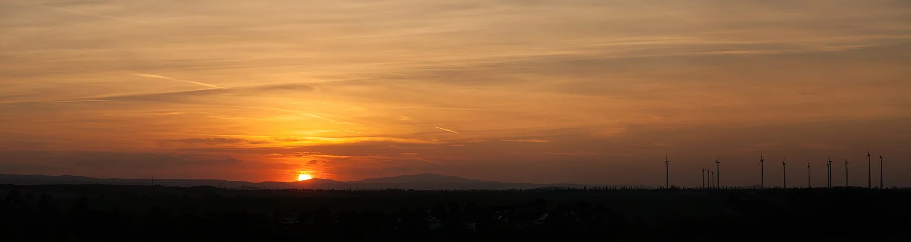
Forested ridges, reservoirs, mining heritage, steam railways and timber towns form a compact mountain region in central Germany.
Explore this place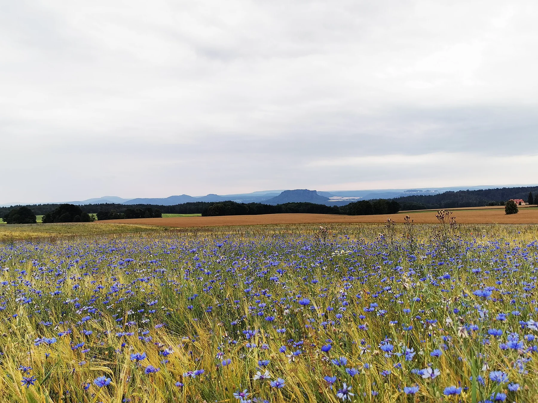
Sandstone towers, forested ravines and the Elbe valley create a dramatic border landscape close to Dresden and northern Bohemia.
Explore this place